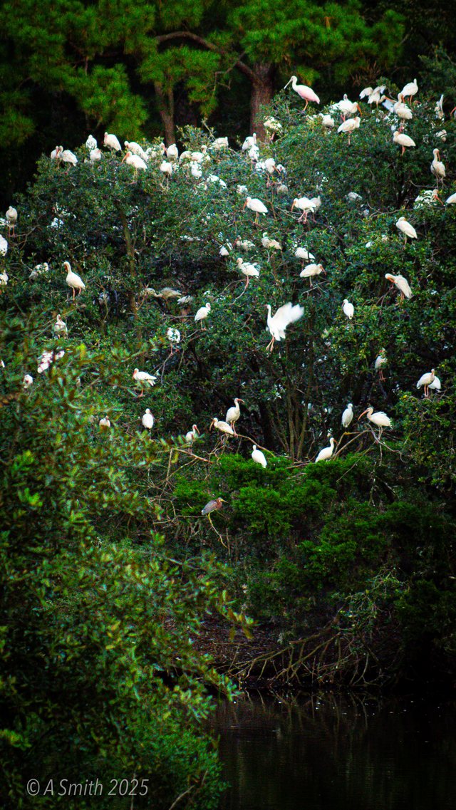
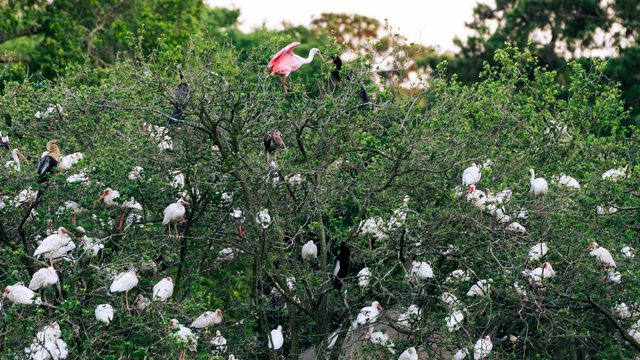
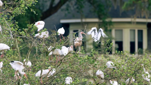
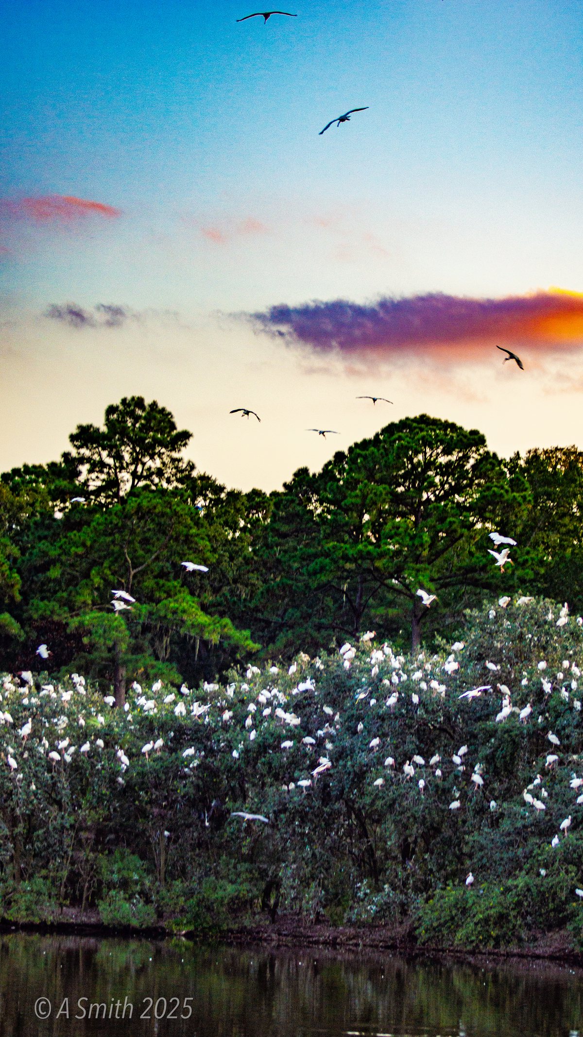
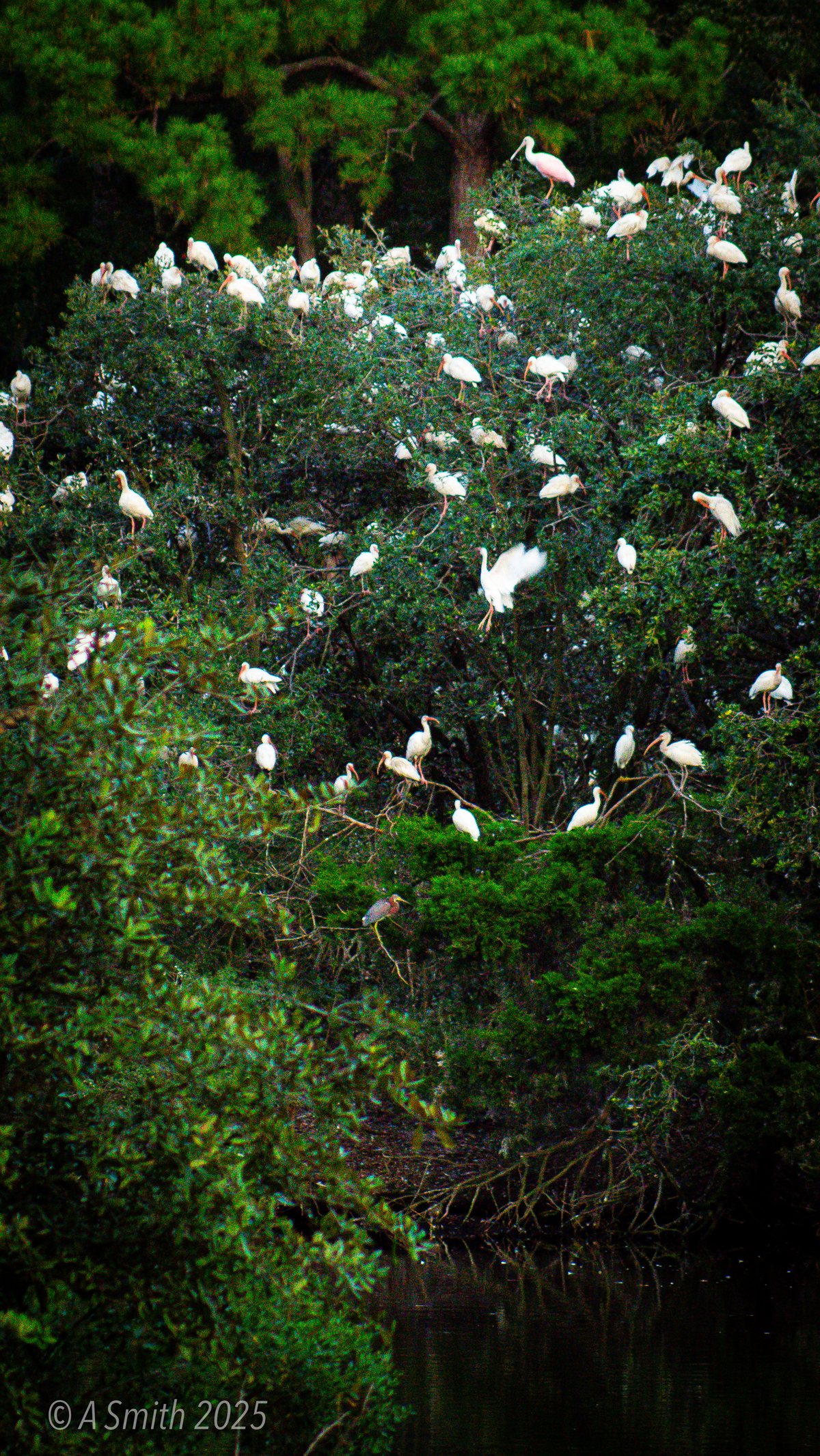
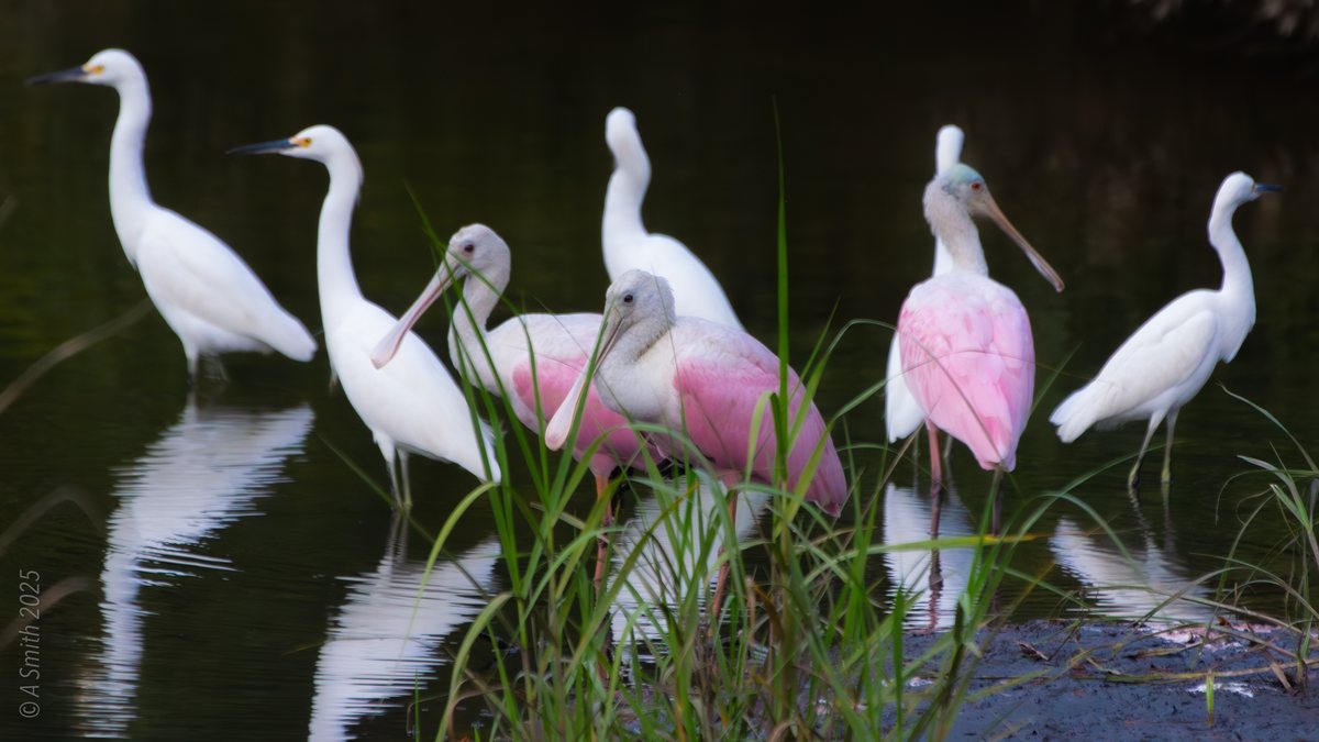
Best For: A rookery lake full of spoonbills, ibis and herons
The Archive: 63 photos · 220,952 views on Google Maps
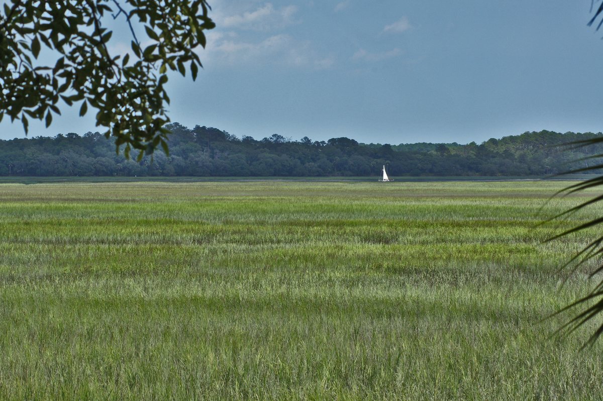
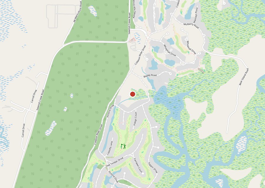
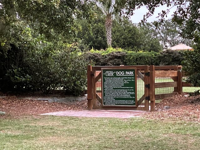
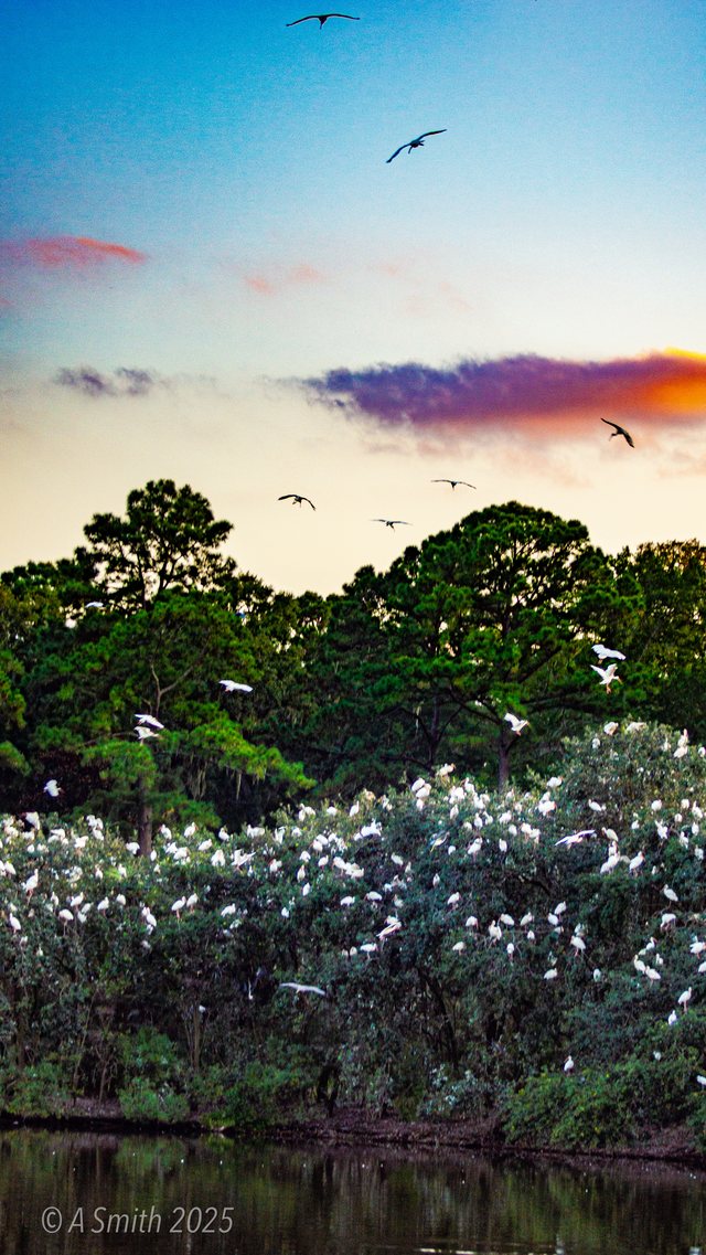
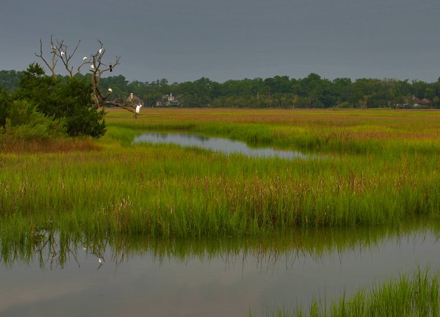
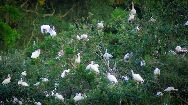
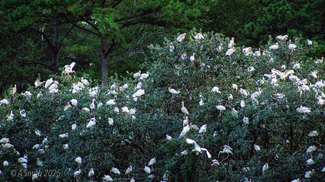
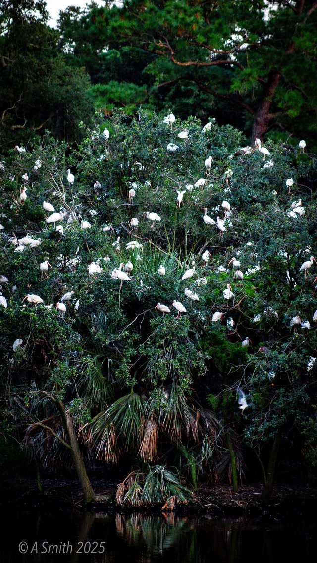
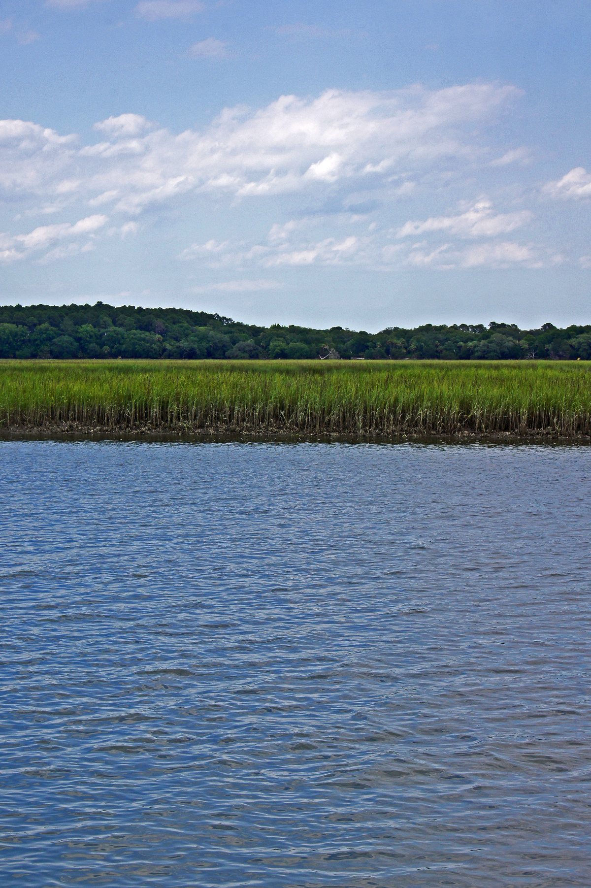
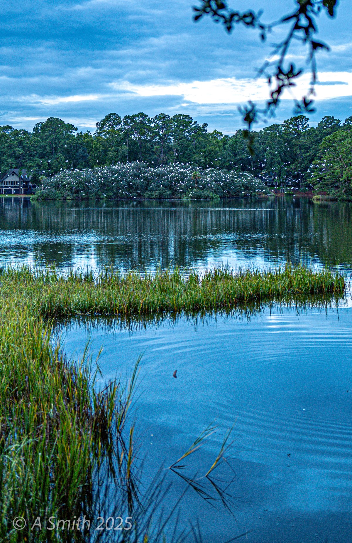
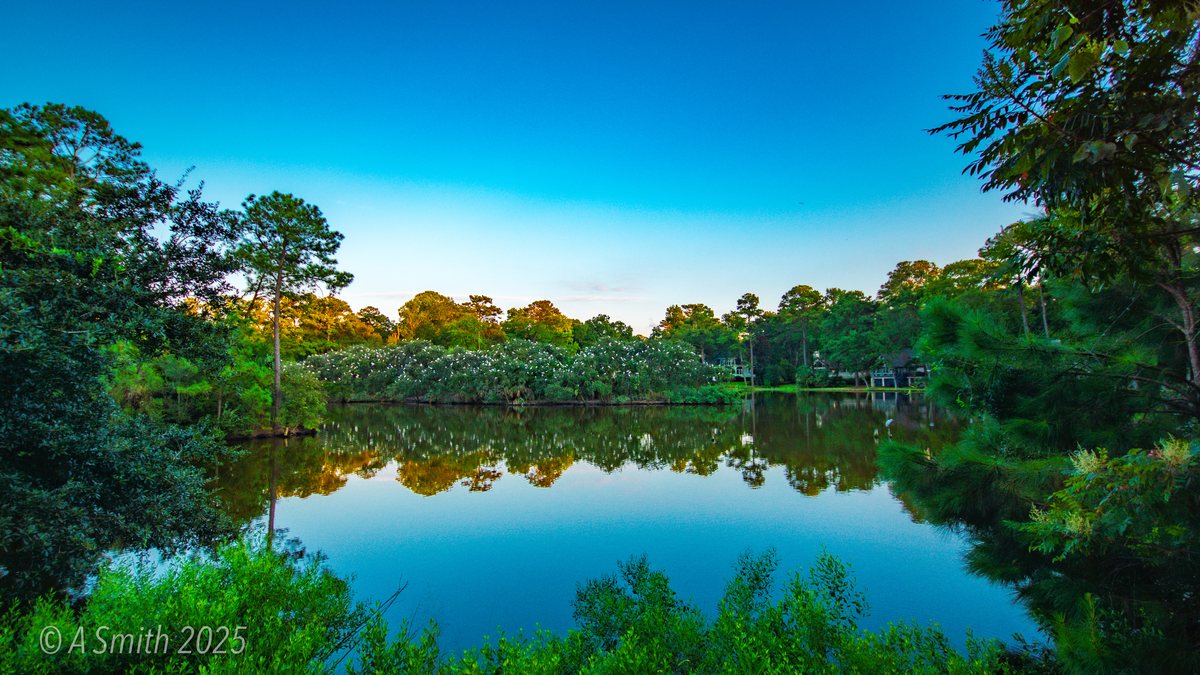
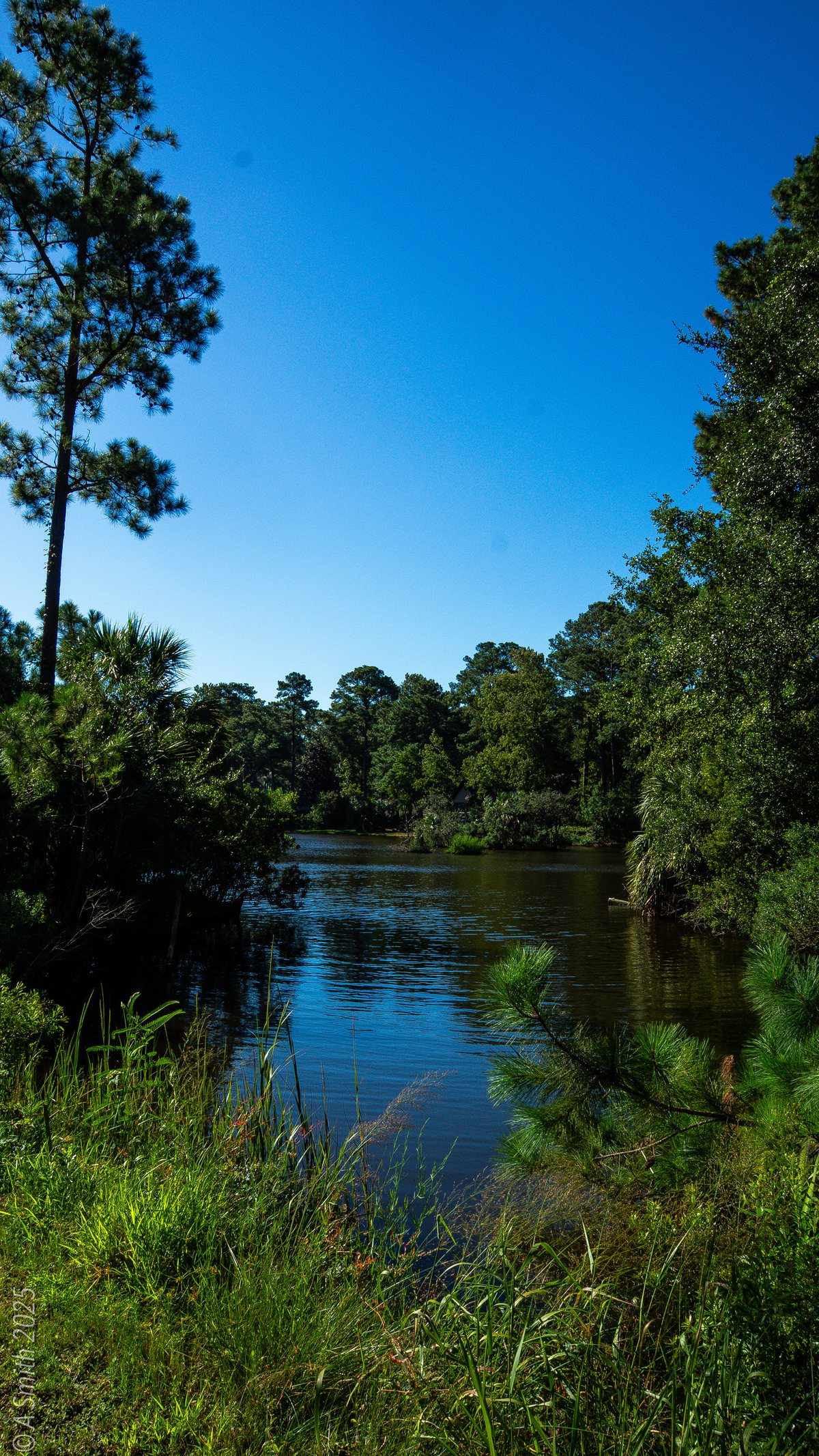
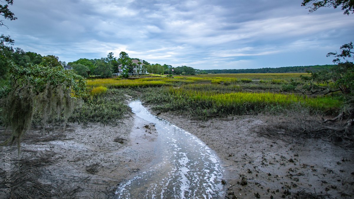
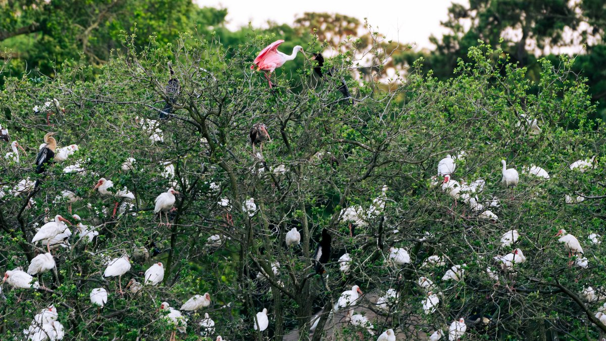
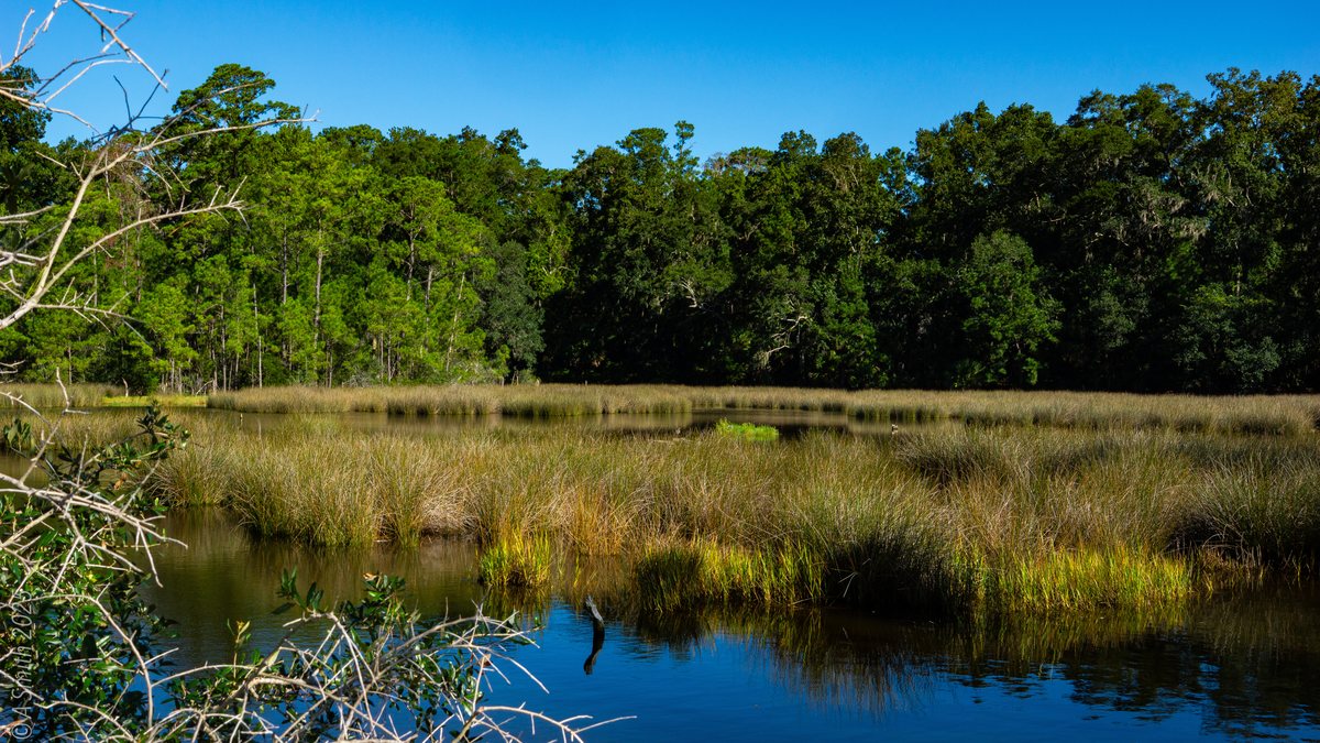
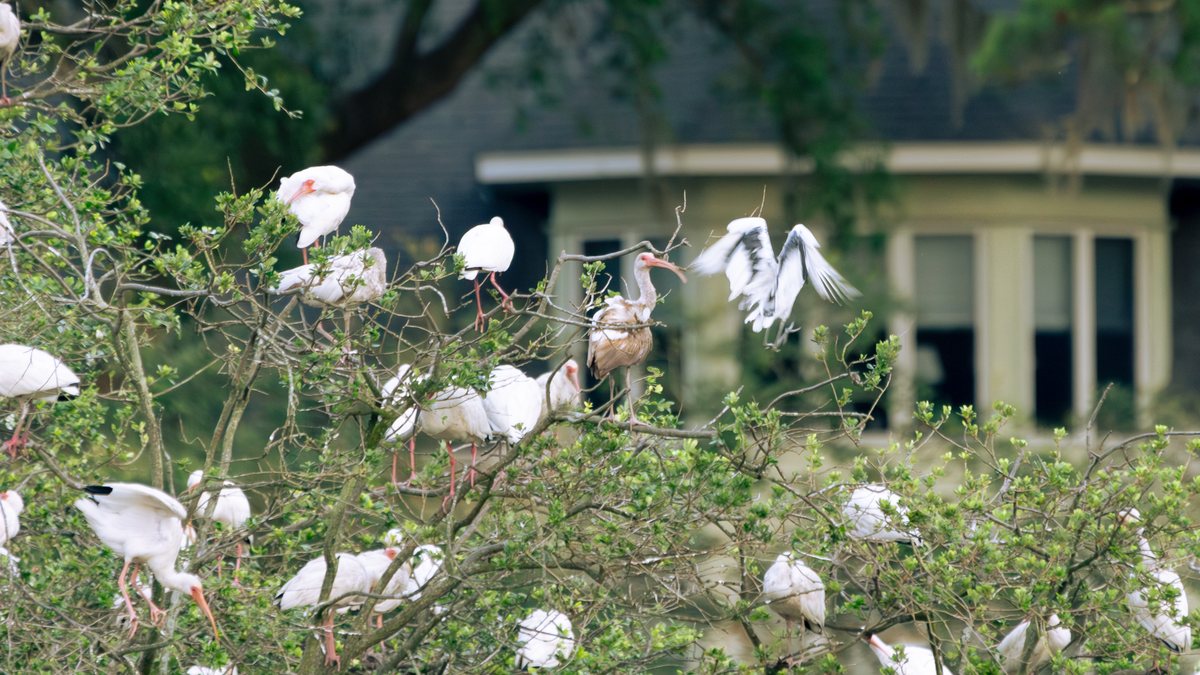
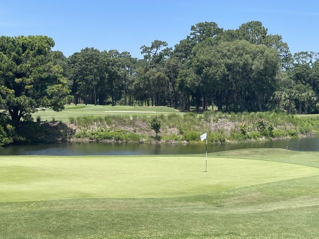
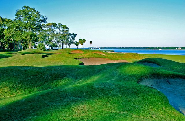
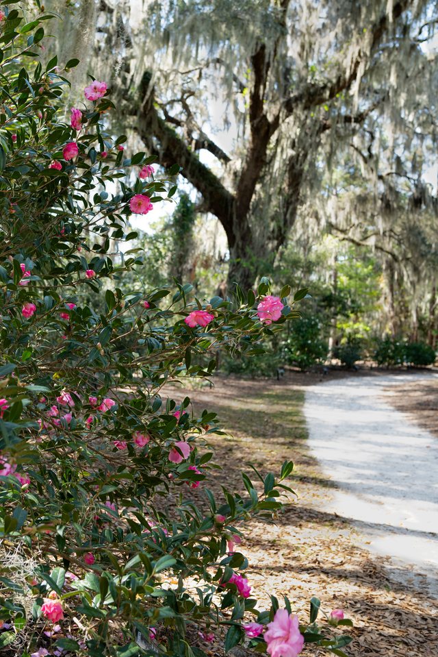
Inside the Moss Creek community in Bluffton sits a nature preserve of trails, boardwalks and marsh — and one lake with a rookery tree that fills every summer with white ibis, roseate spoonbills, herons and anhingas. The preserve trail system runs past the marsh, the pecan grove and the residents' dog park. The photo at the top of this page has been viewed 85,907 times on Google Maps. More Moss Creek: the golf club and the marina.
Key Takeaways
63 photos, shot between 2018 and 2026: 220,952 views on Google Maps and counting.
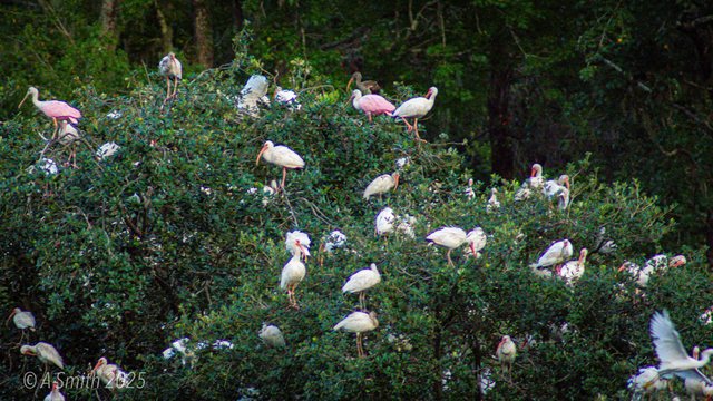
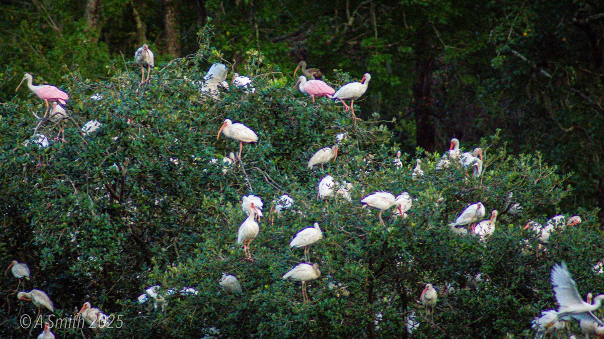
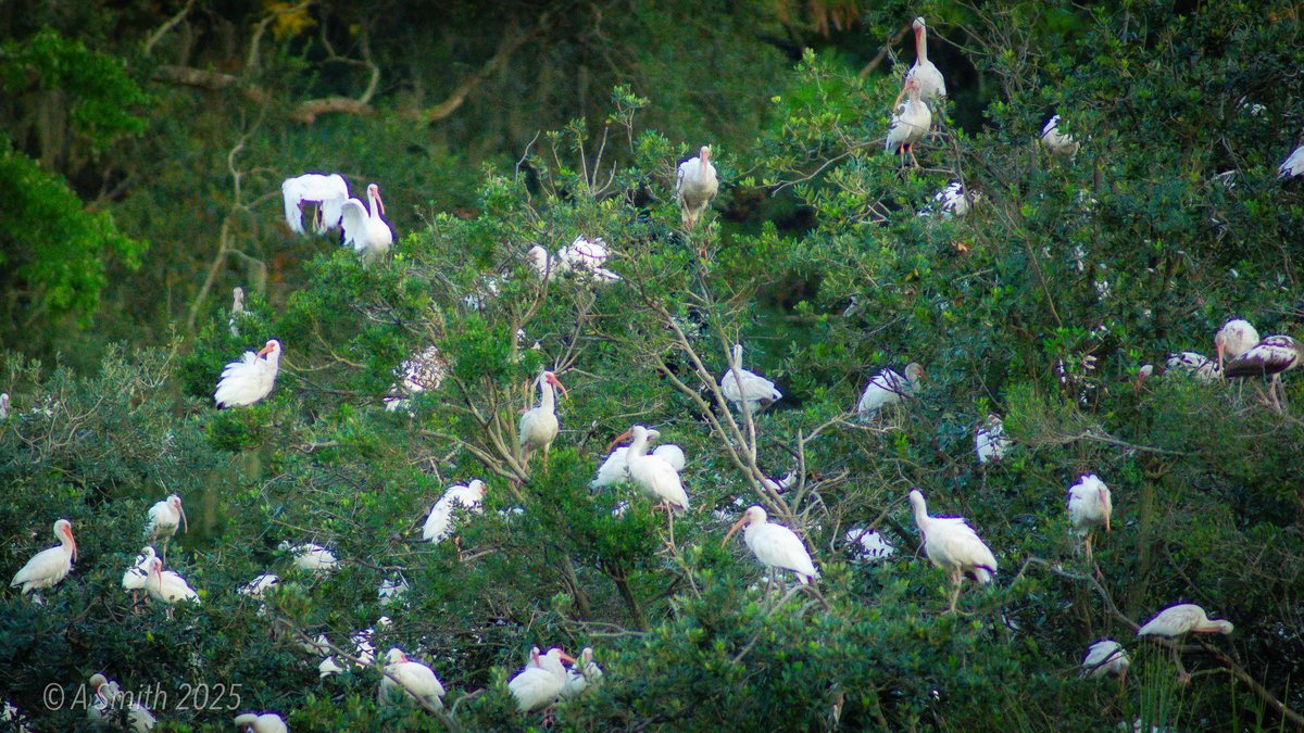
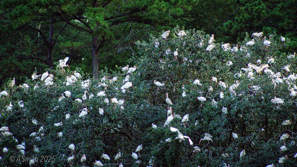
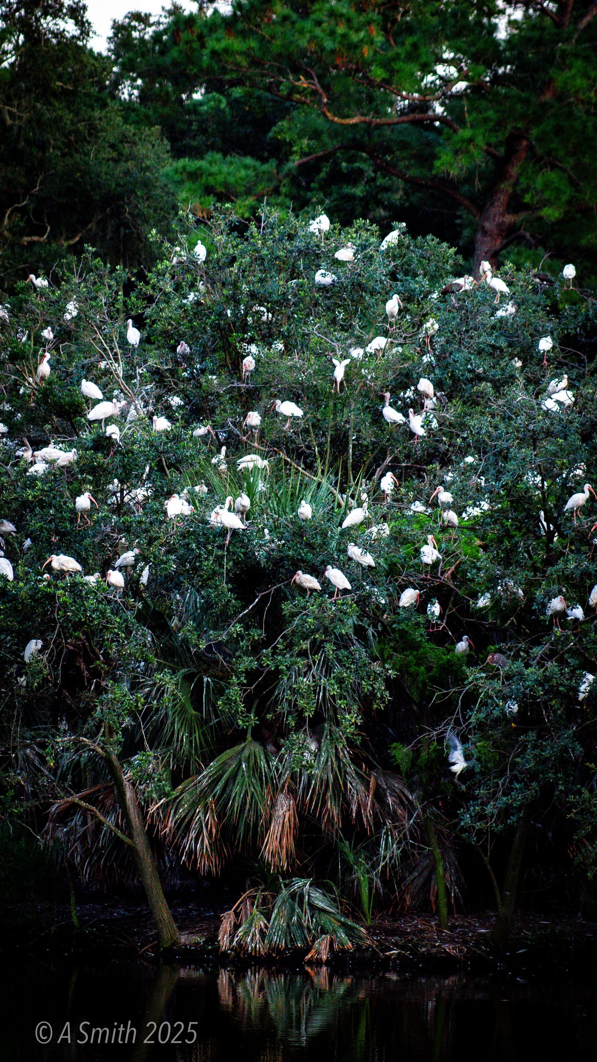
The rookery is the headline: one tree holds ibis, spoonbills, herons, anhingas and night herons at once.
Most of the trail and rookery frames are recent — shot in 2025 and 2026, still gathering views.
Tagged Features
The RookeryTrailsBoardwalksThe MarshDog Park
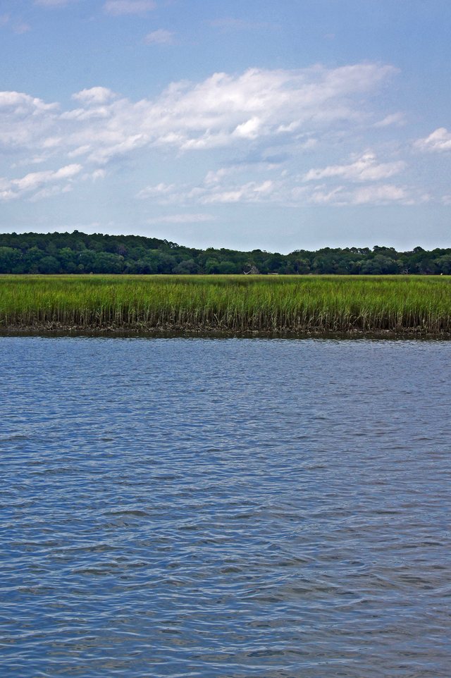
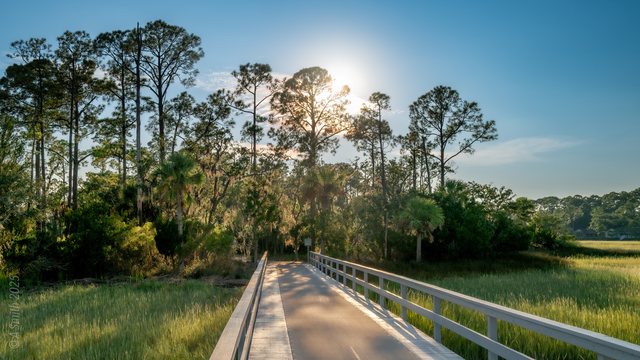
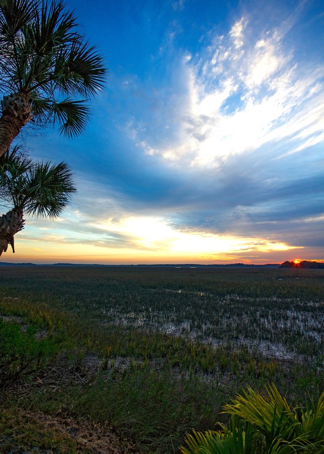
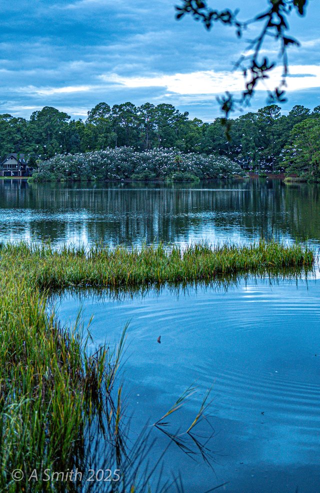
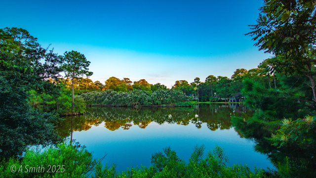
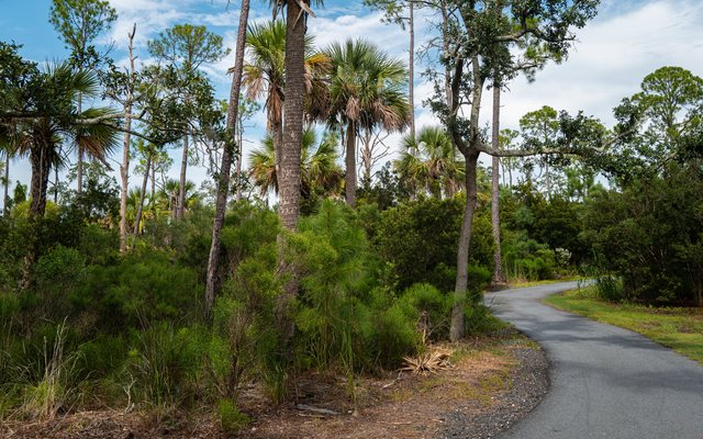
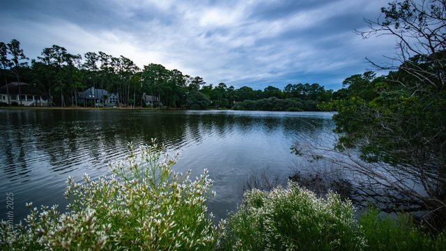
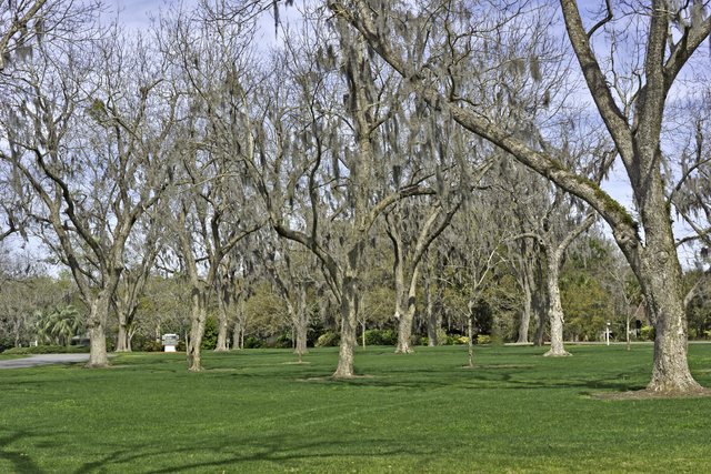
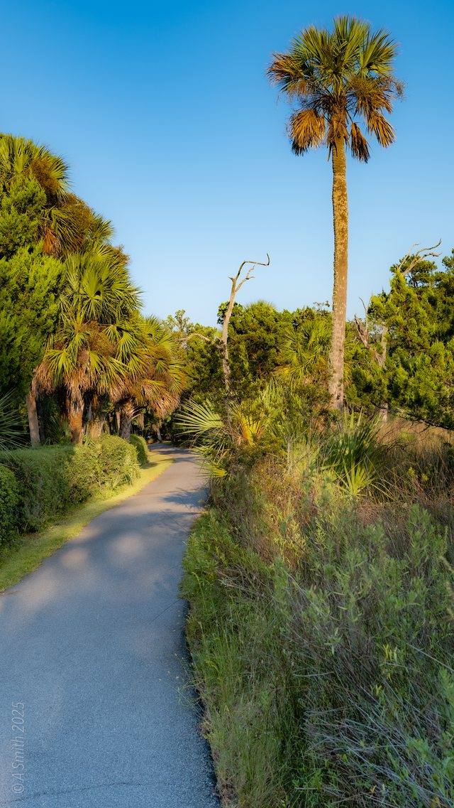
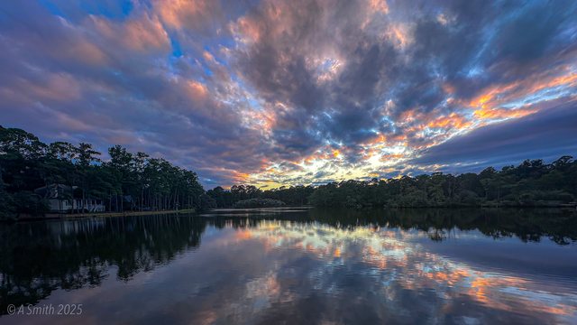
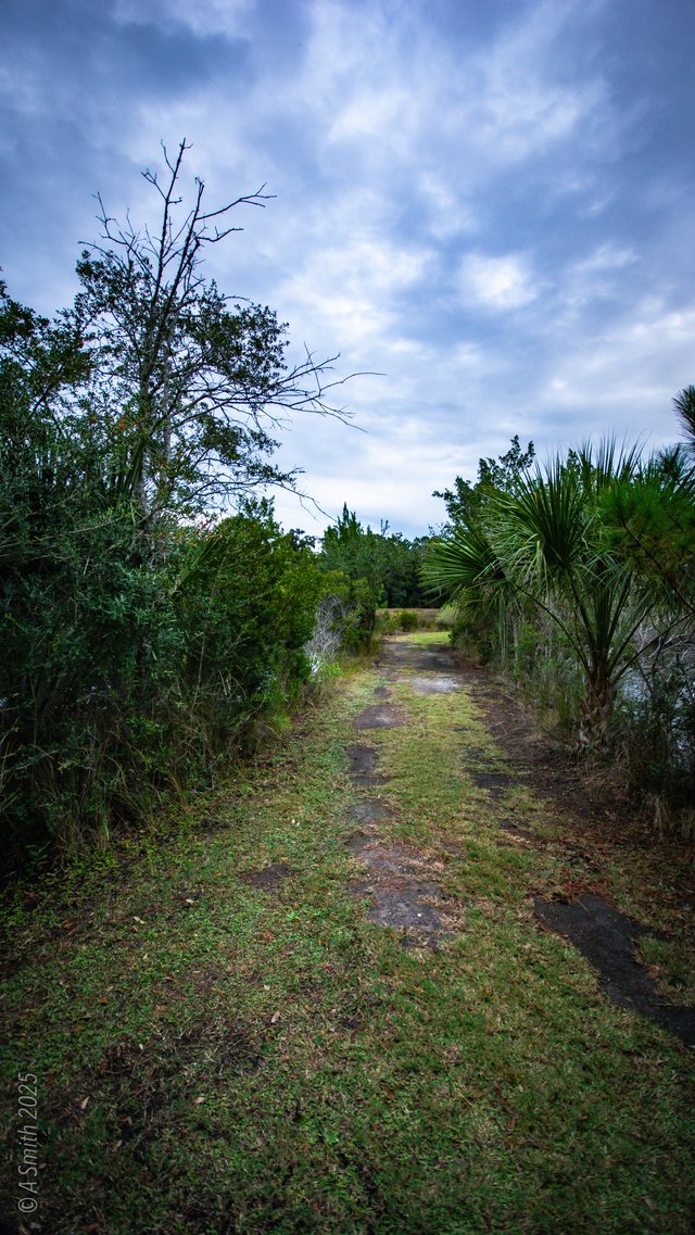
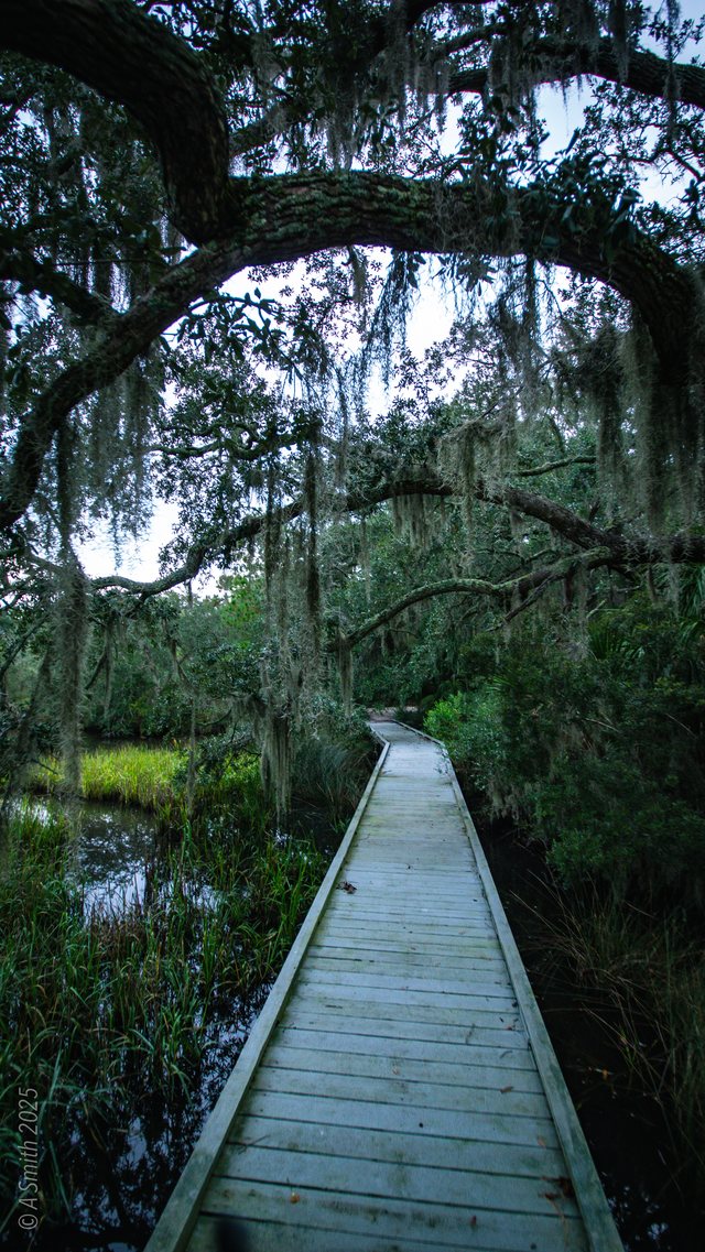
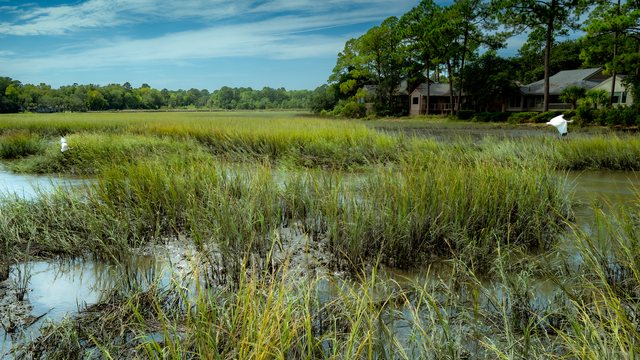
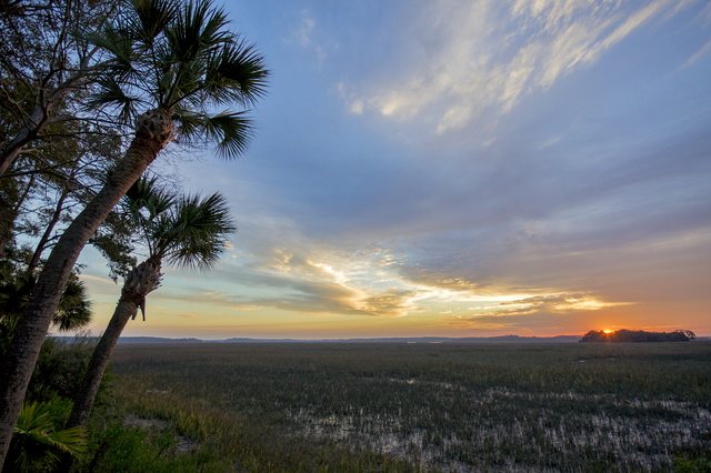
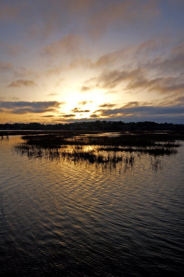
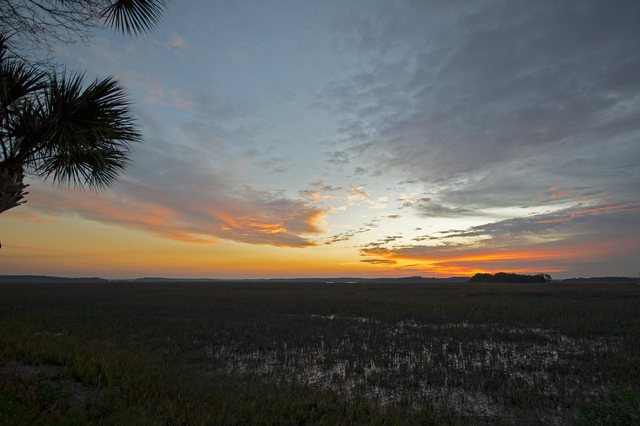
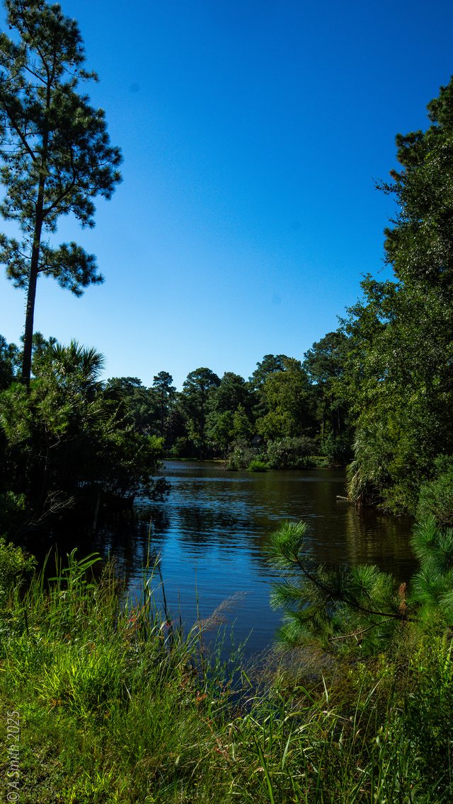
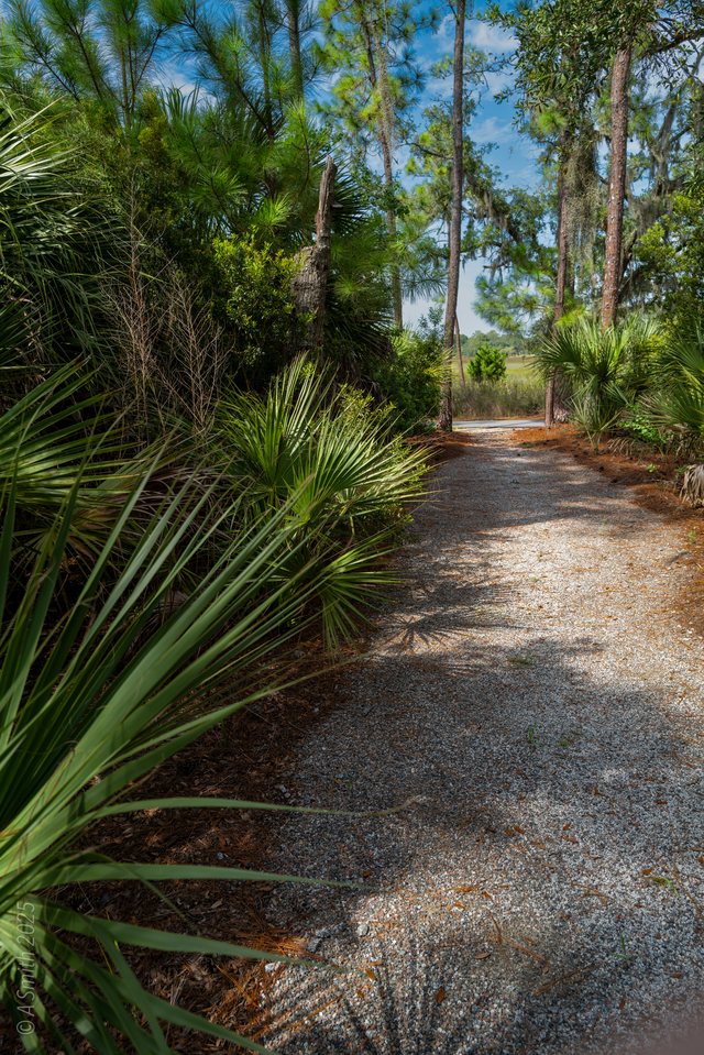
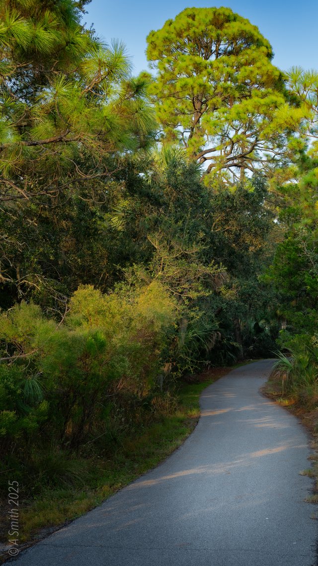
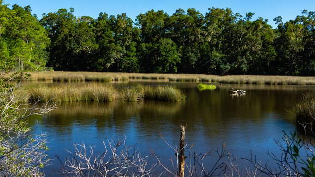
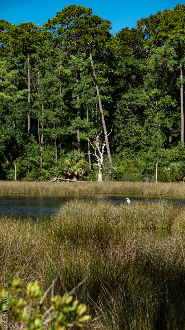
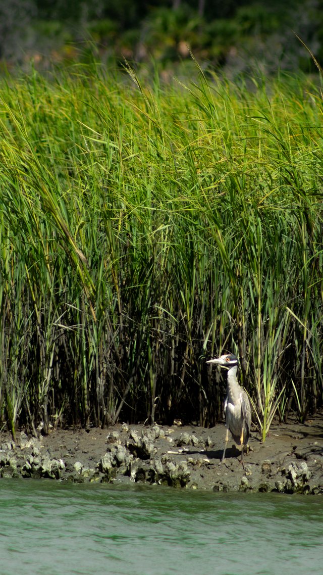
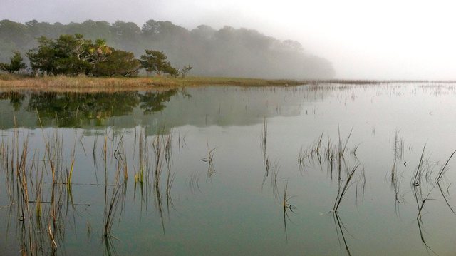
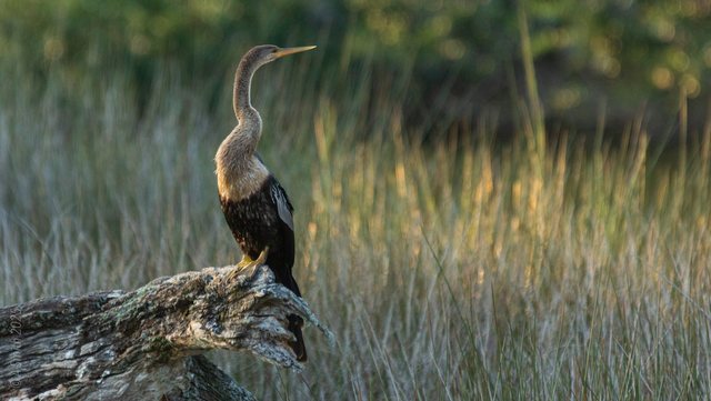
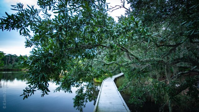
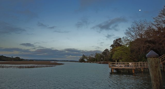
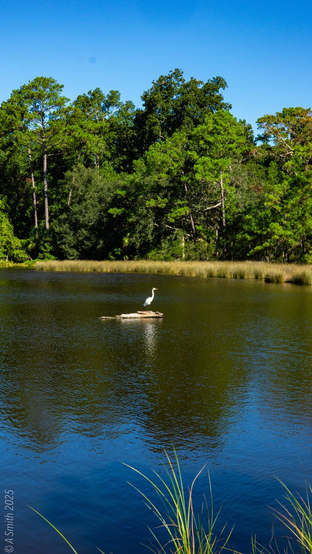
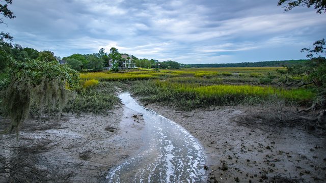
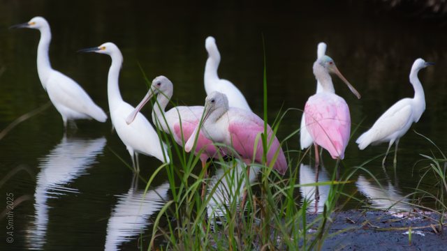
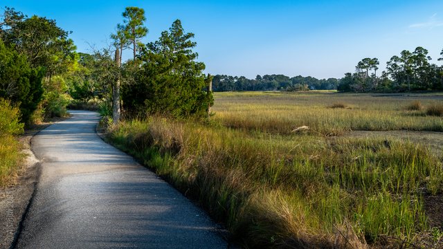
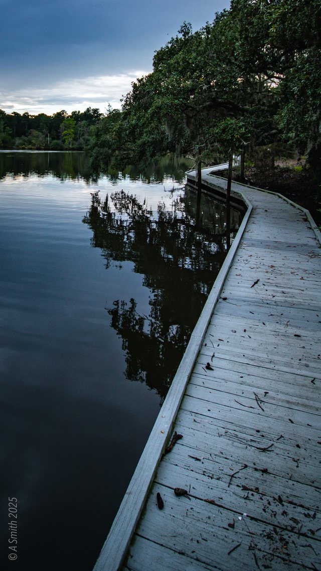
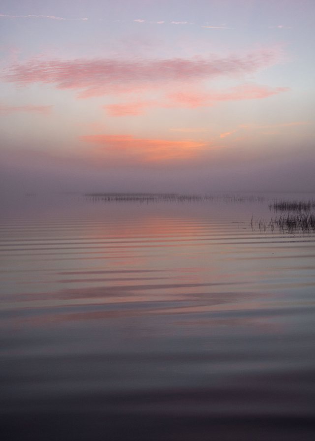
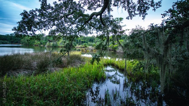
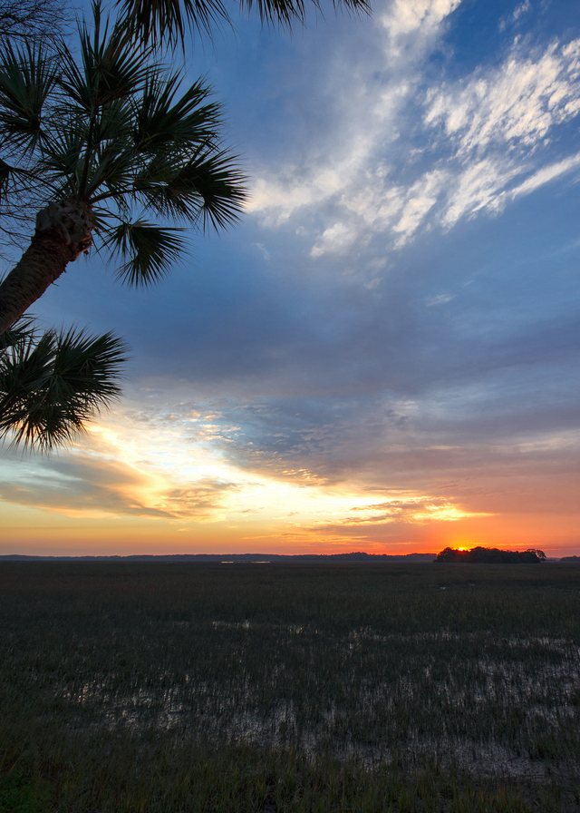
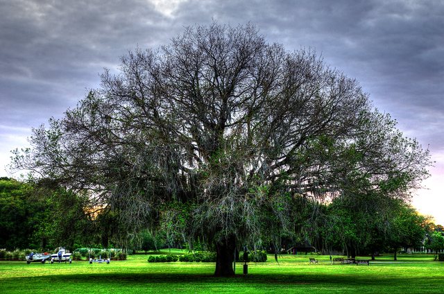
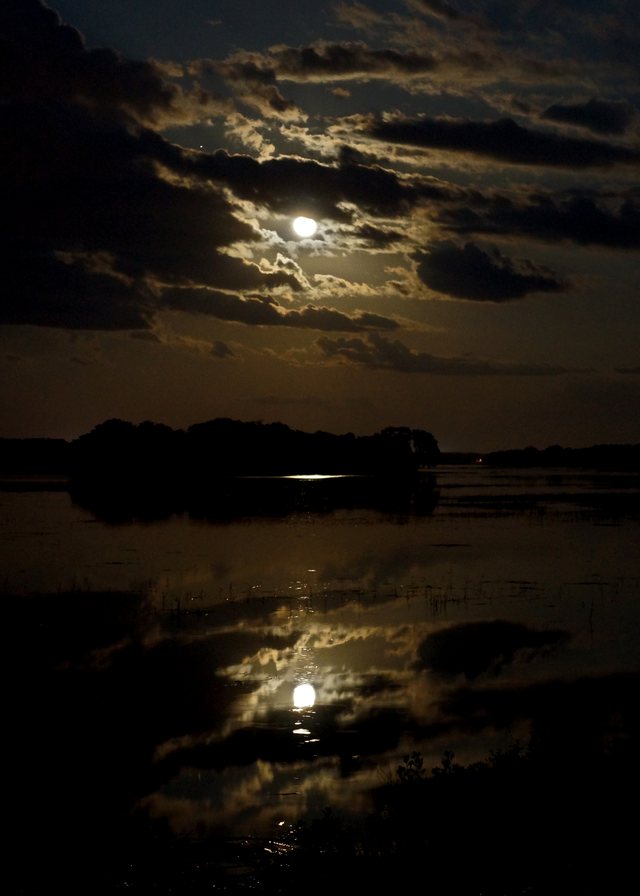
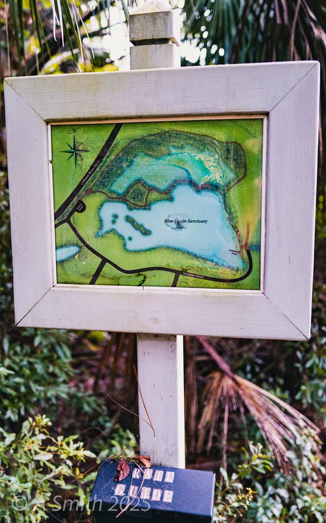
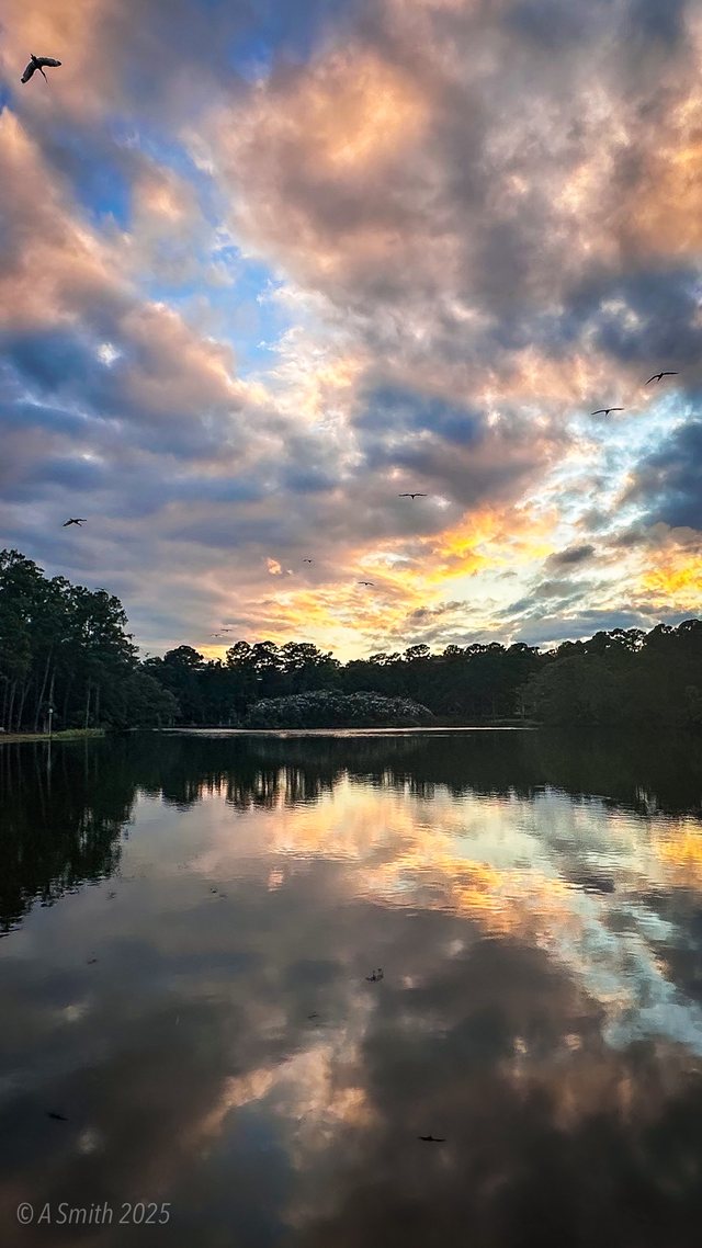
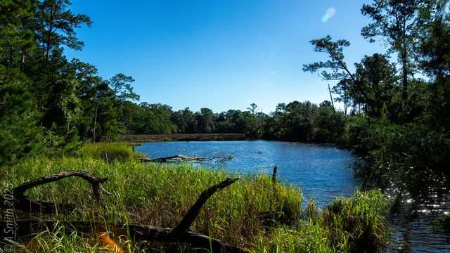
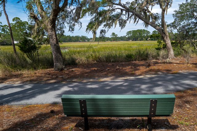
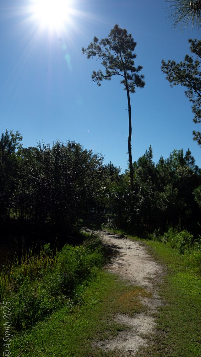
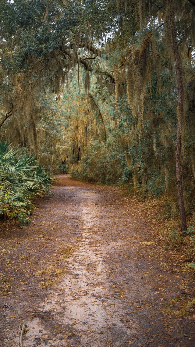
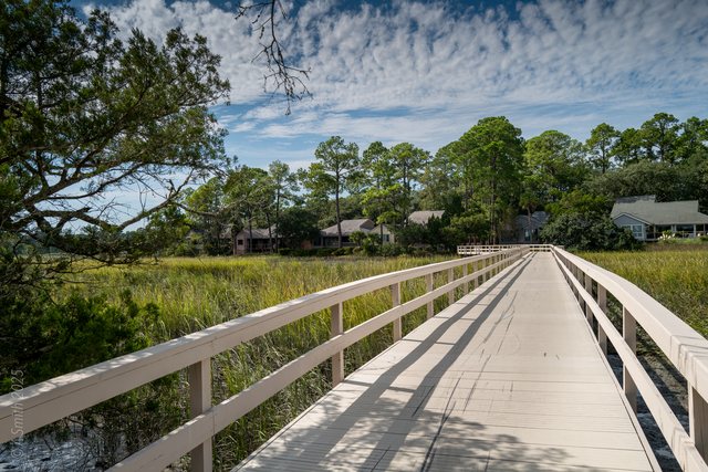
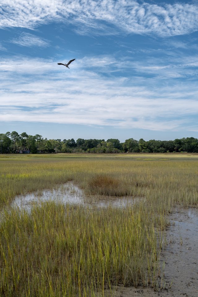
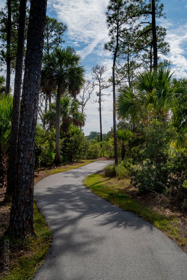
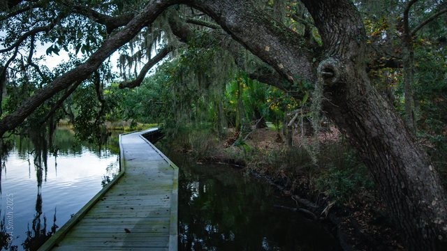
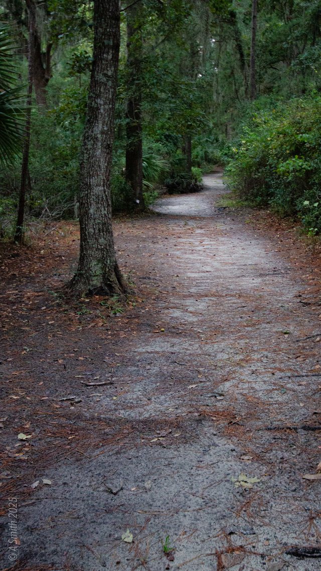
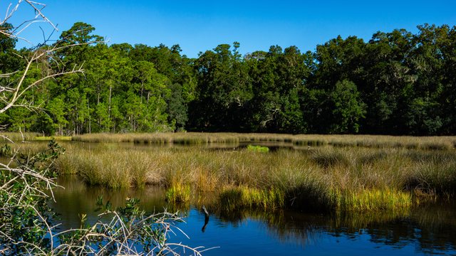
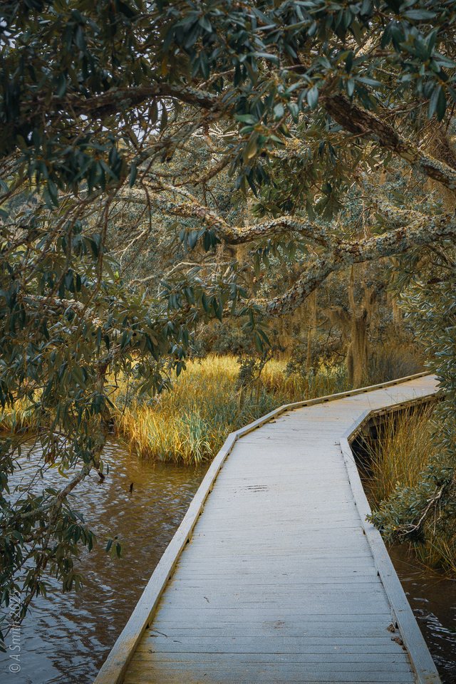
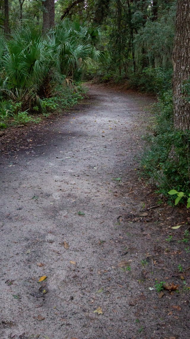
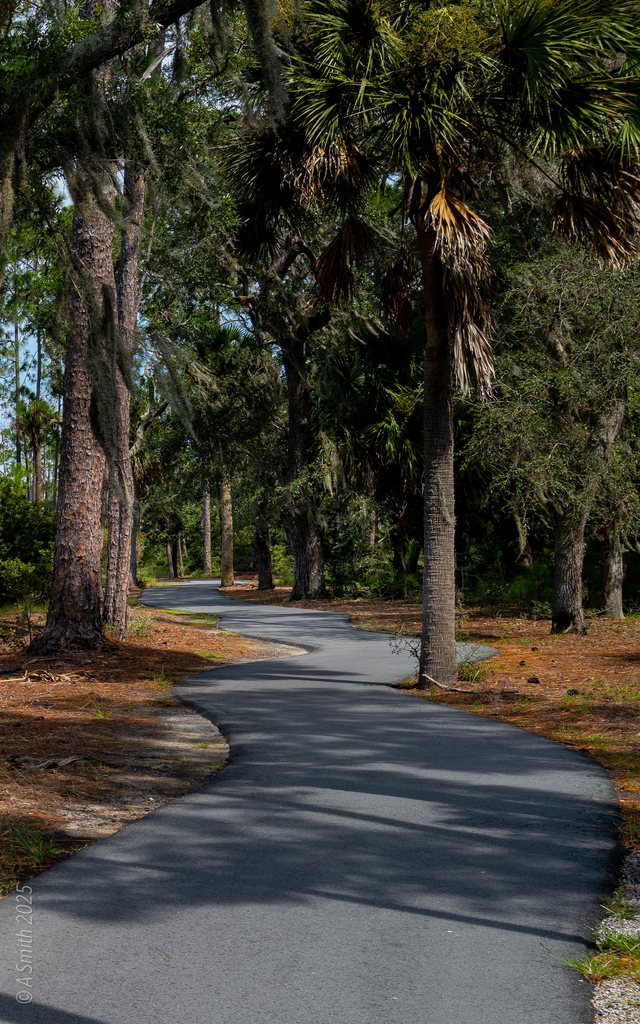
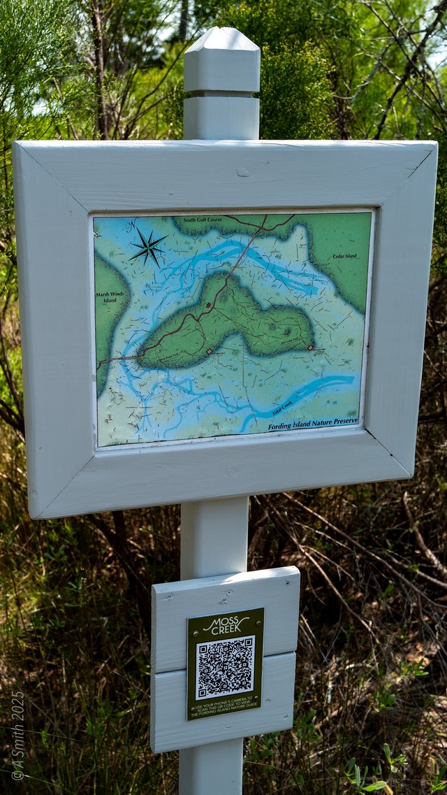
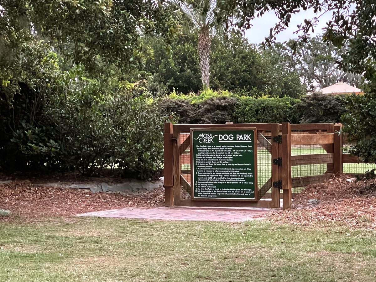
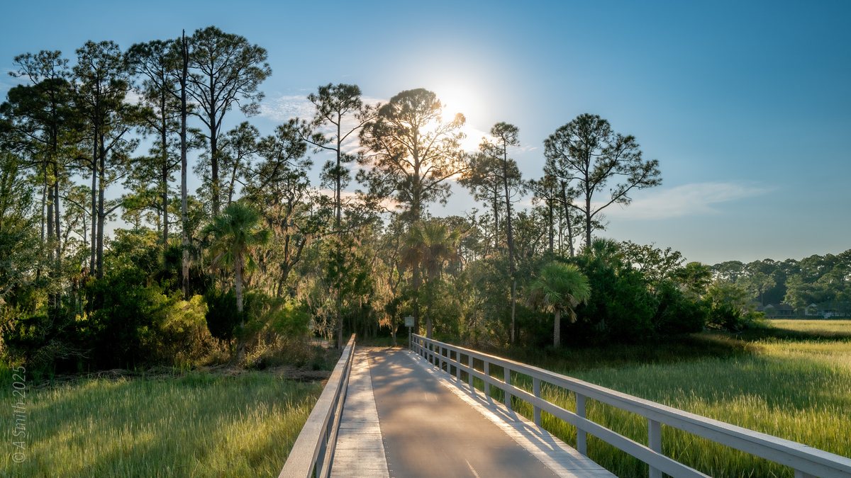
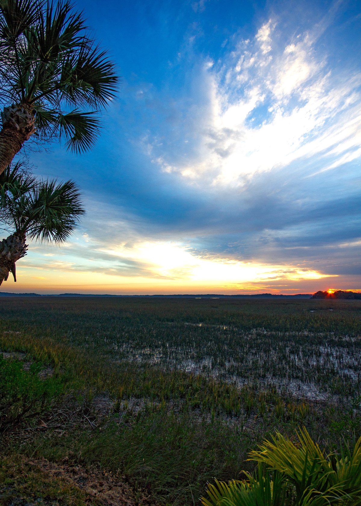
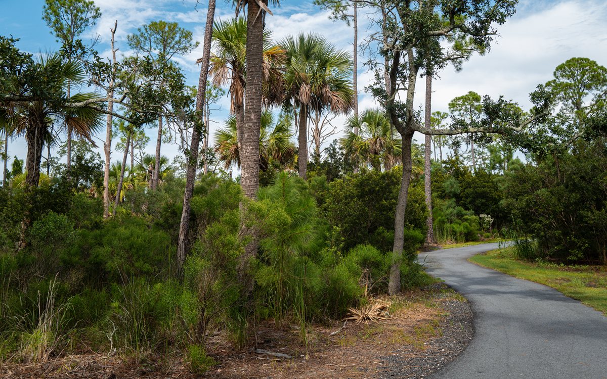
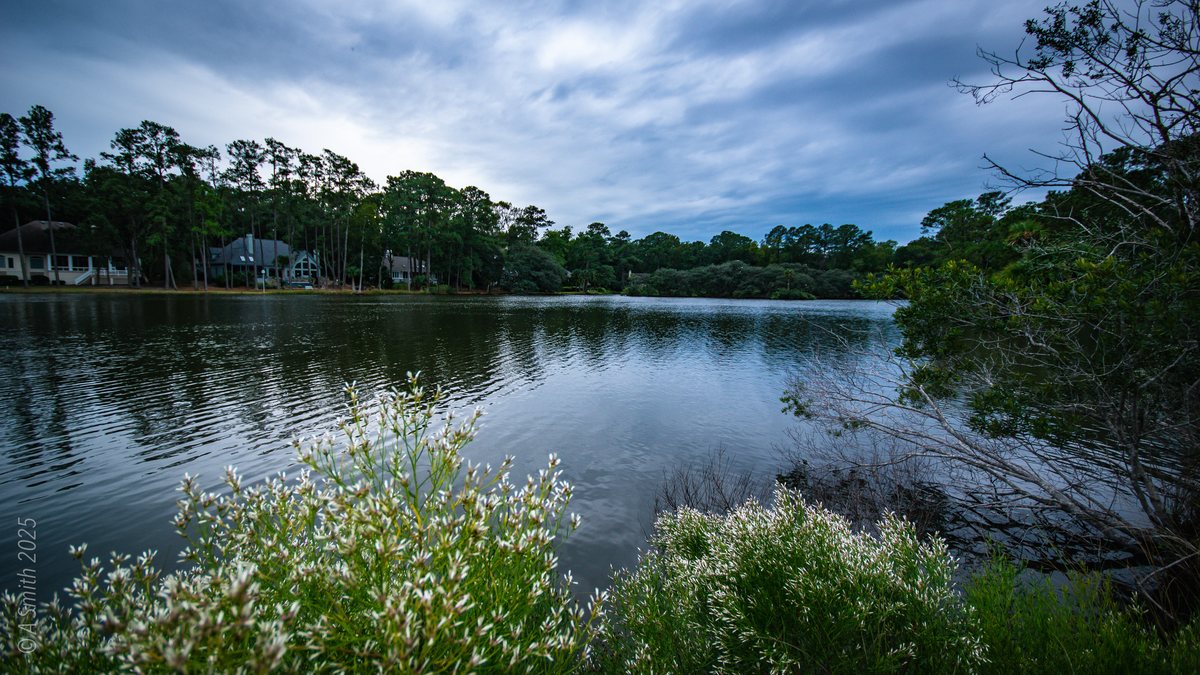
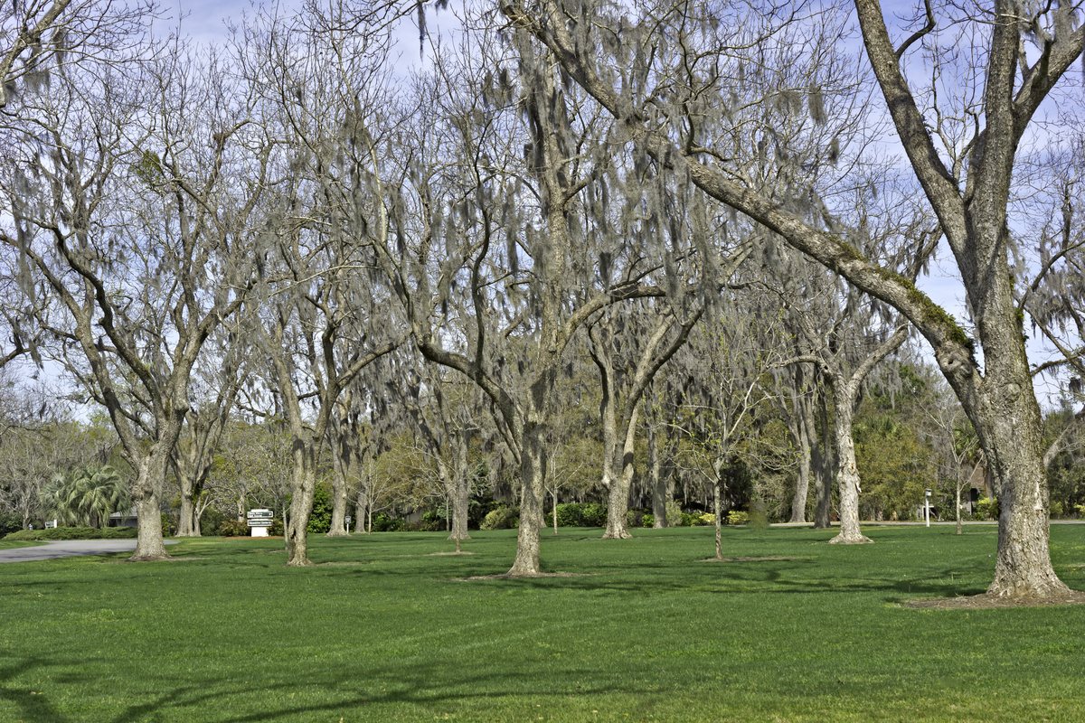
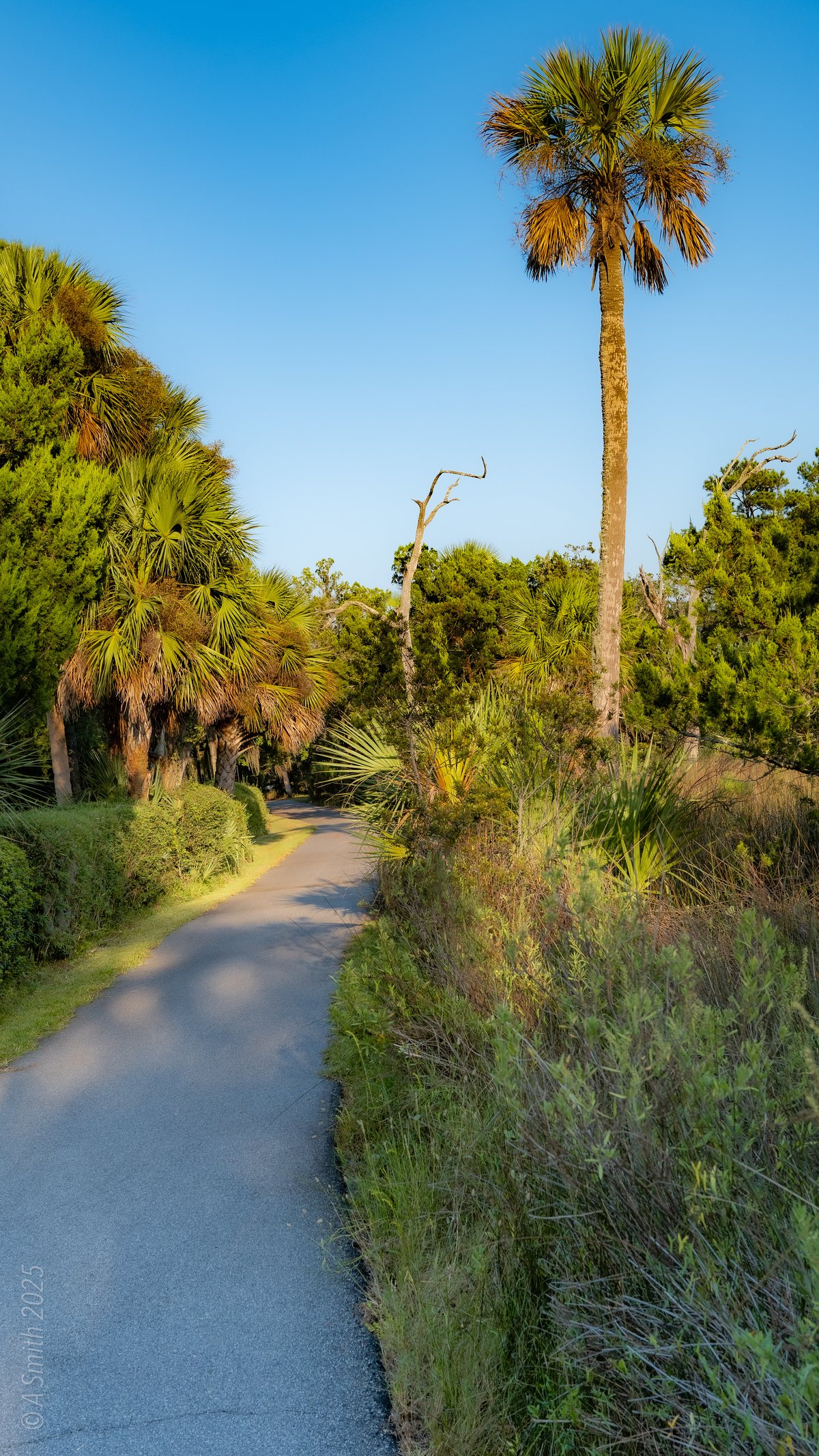
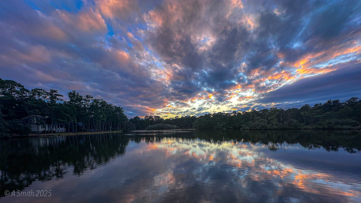
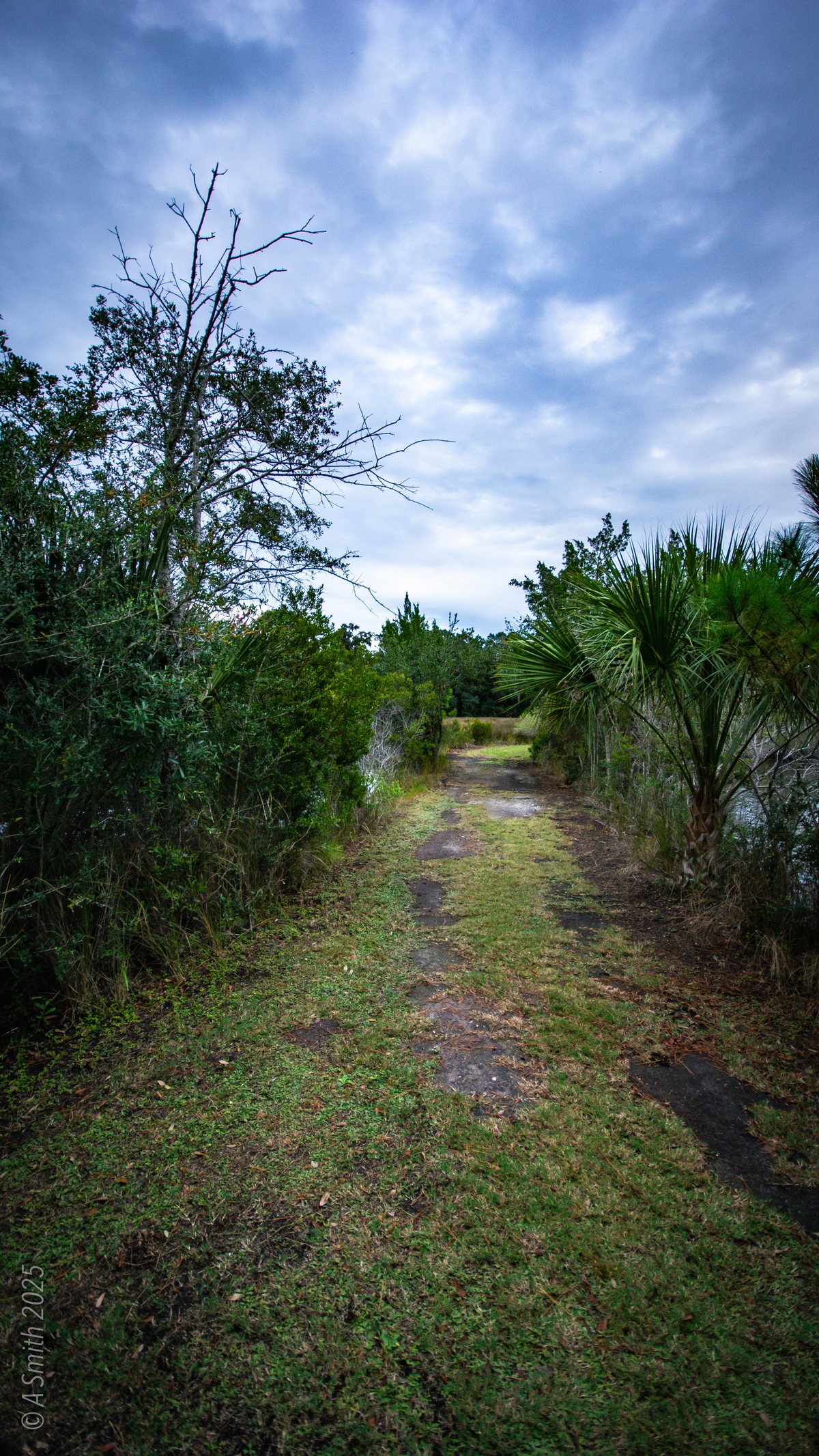
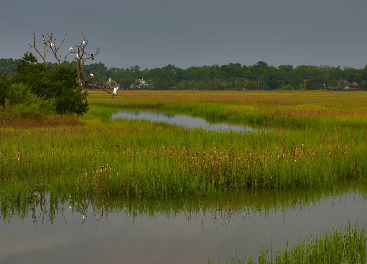
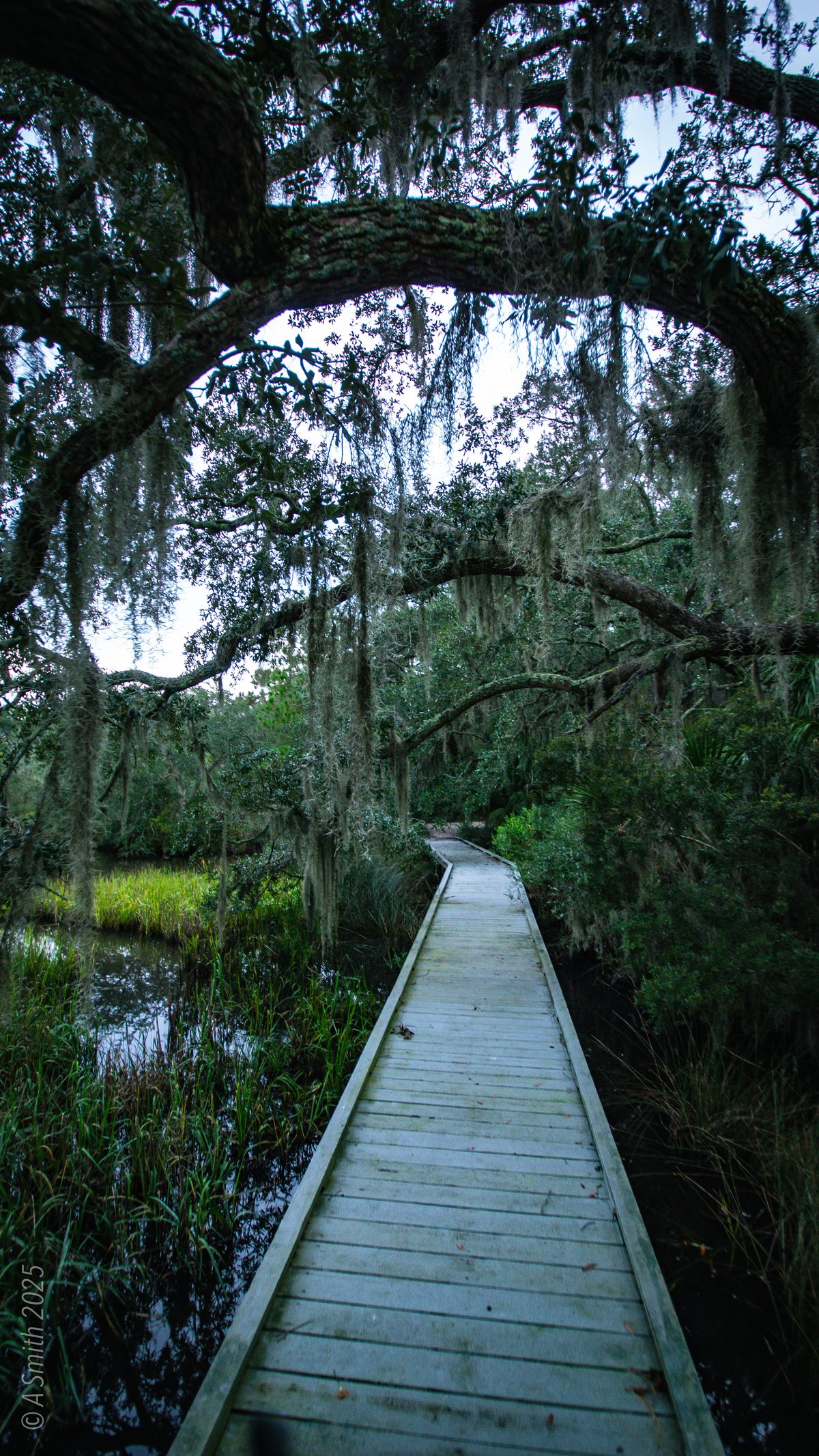
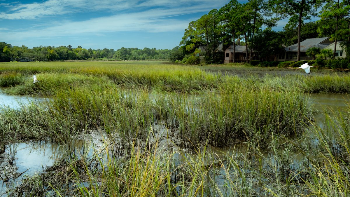
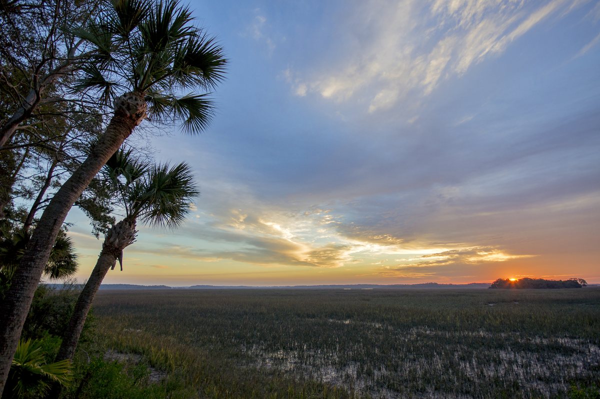
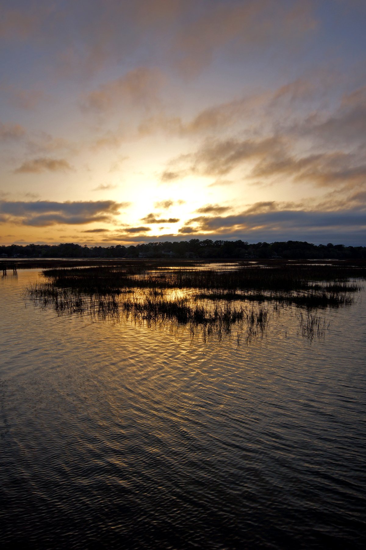
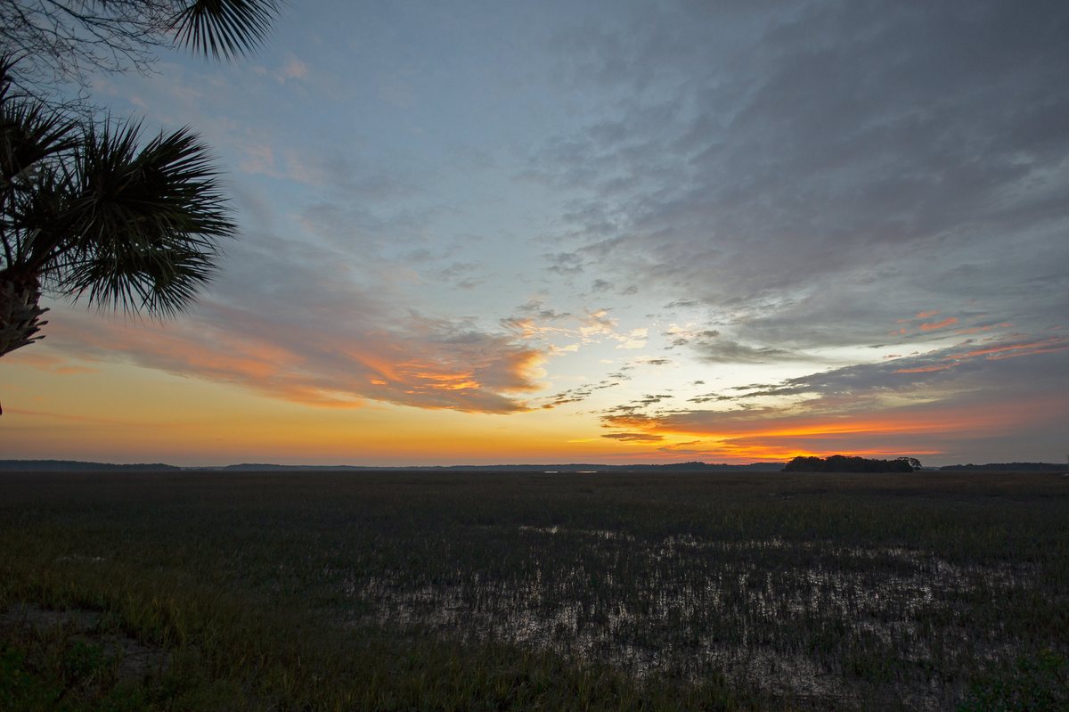
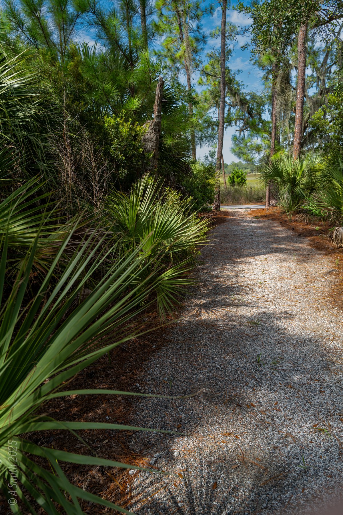
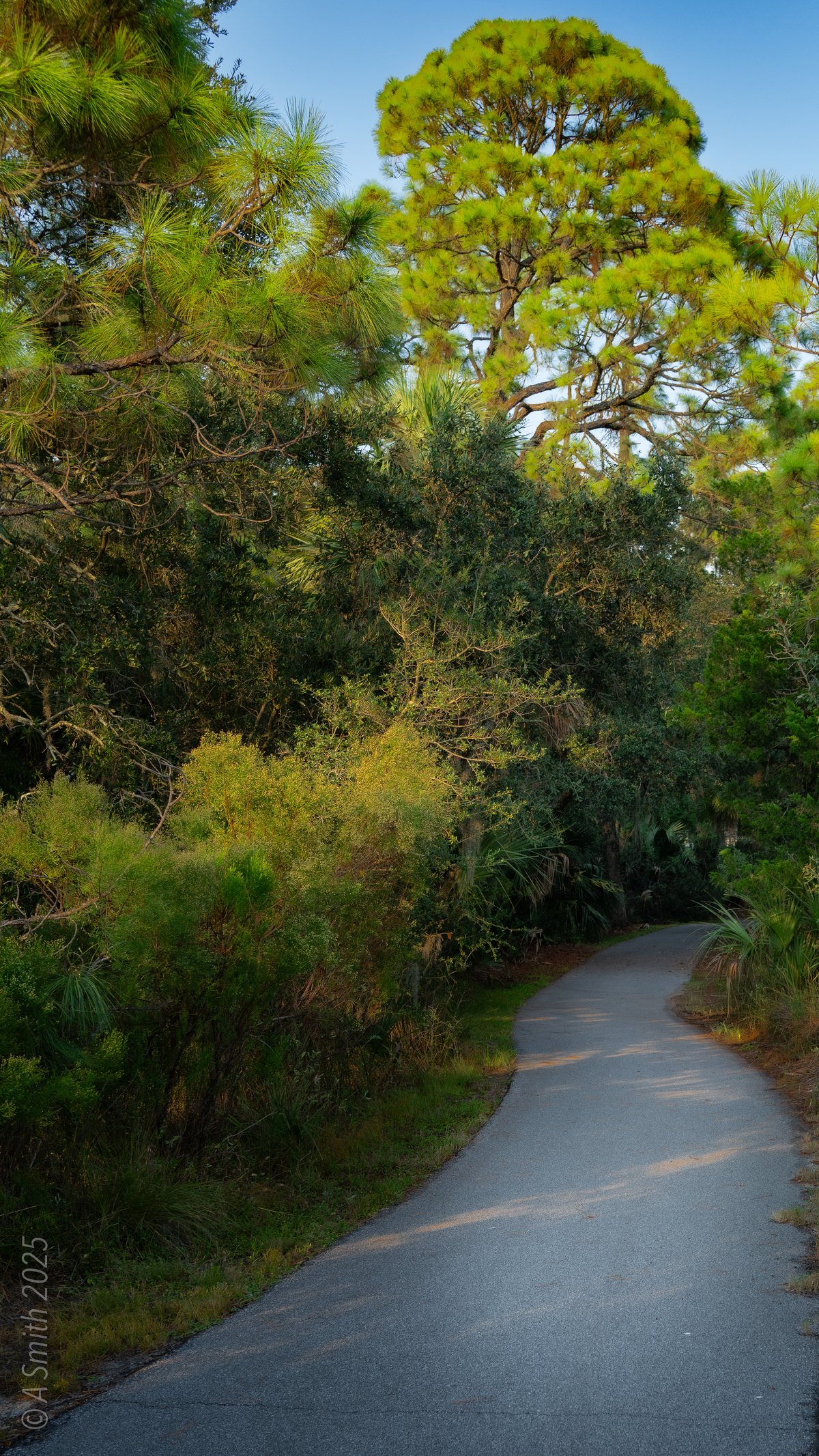
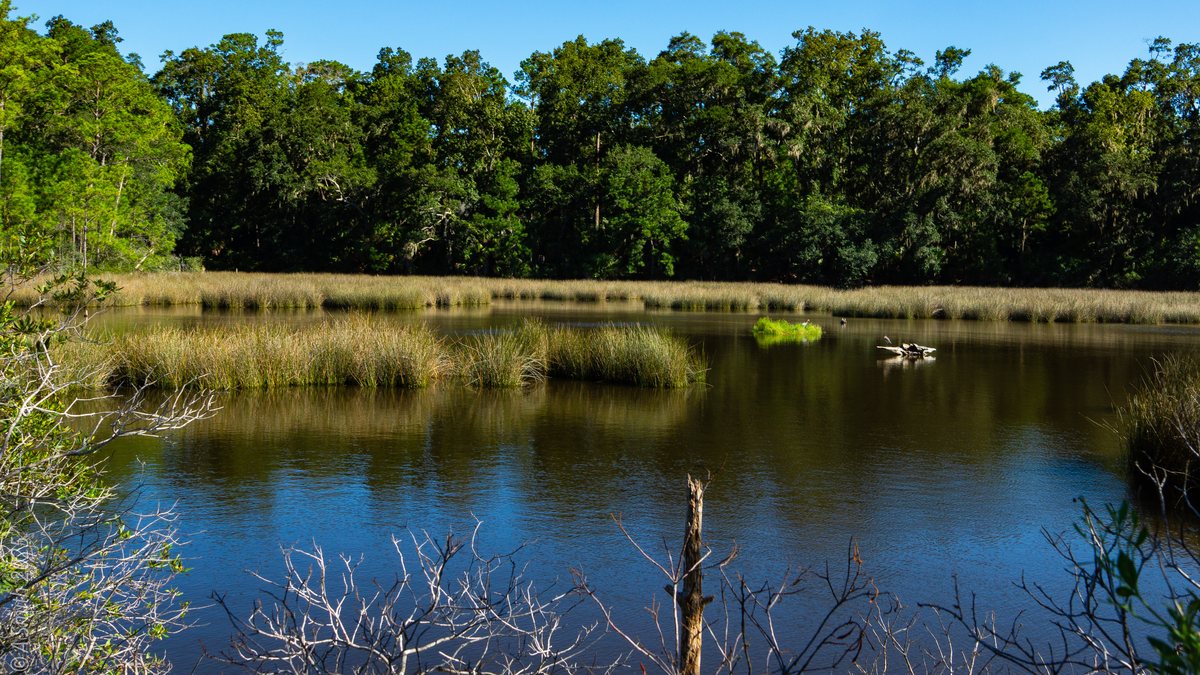
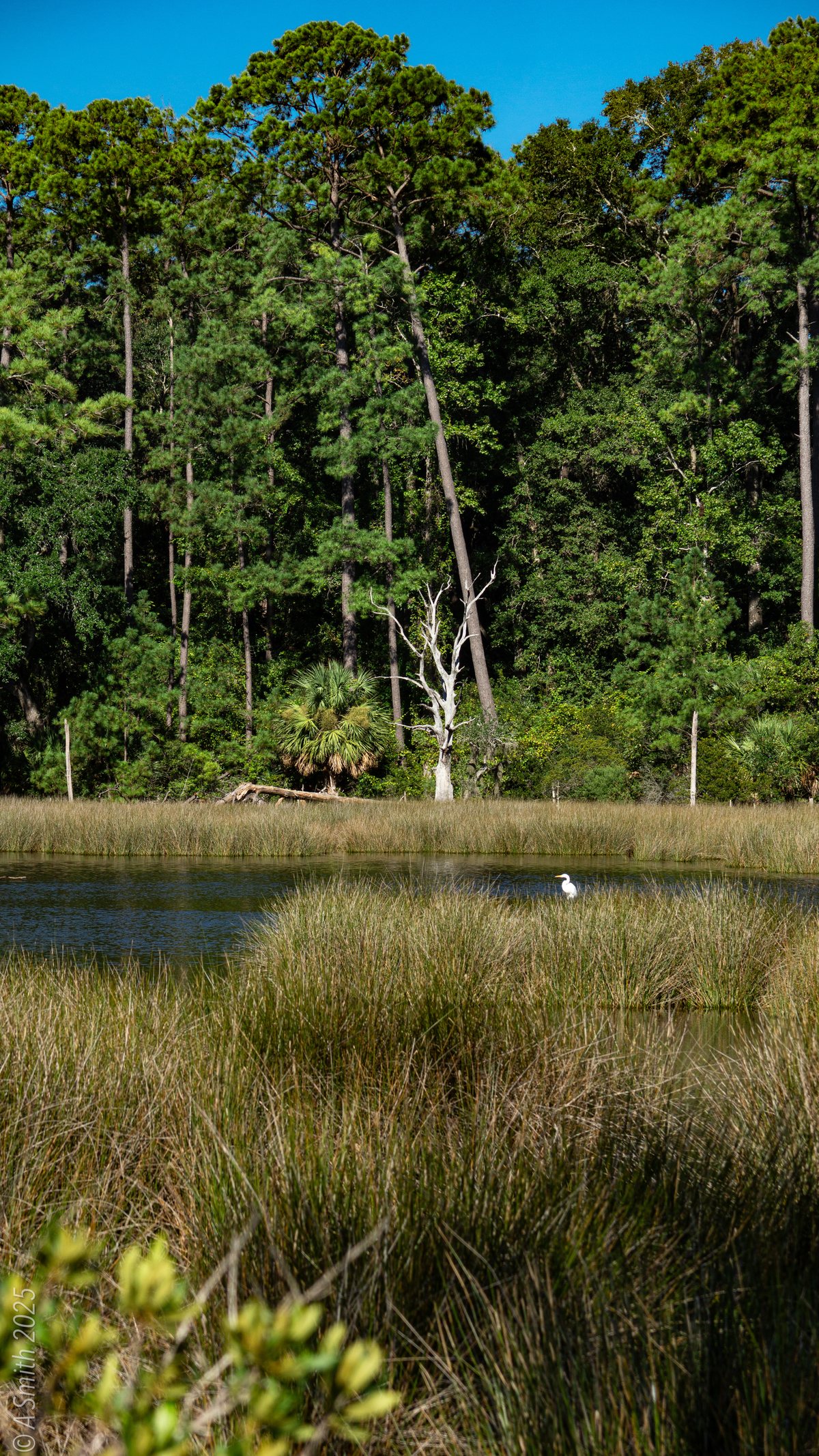
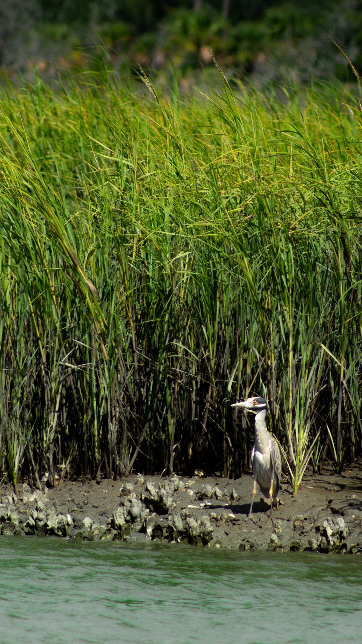
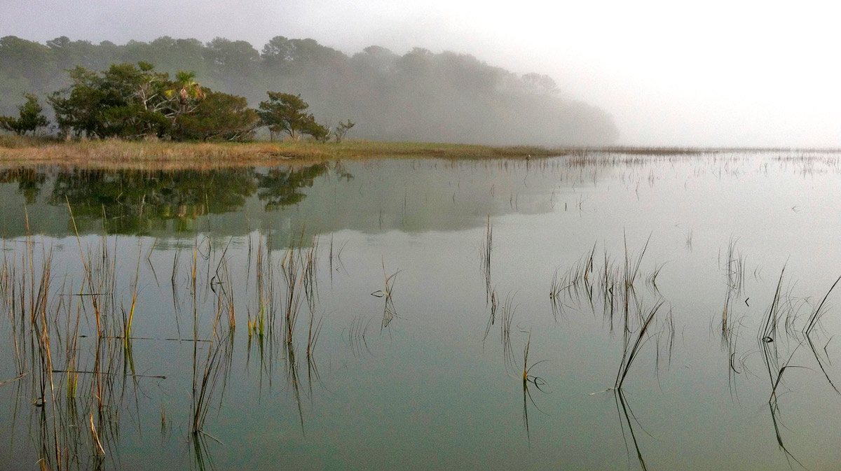
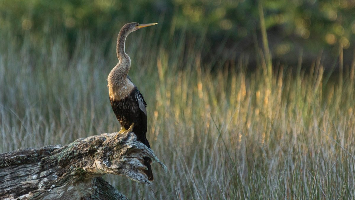
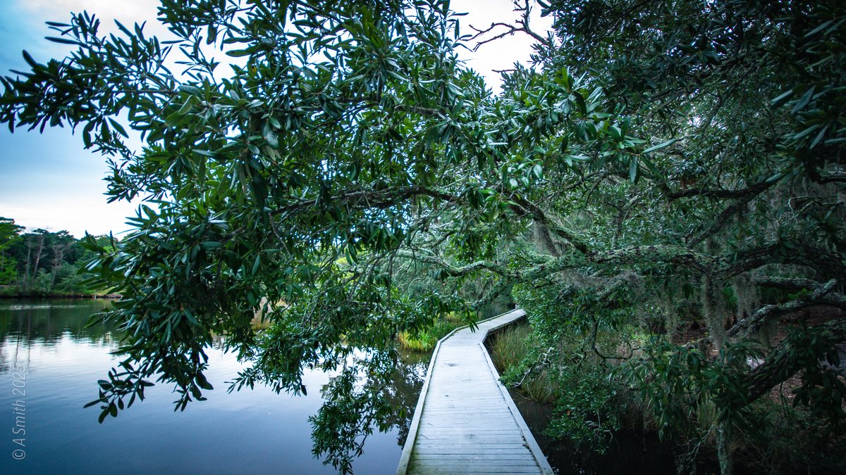
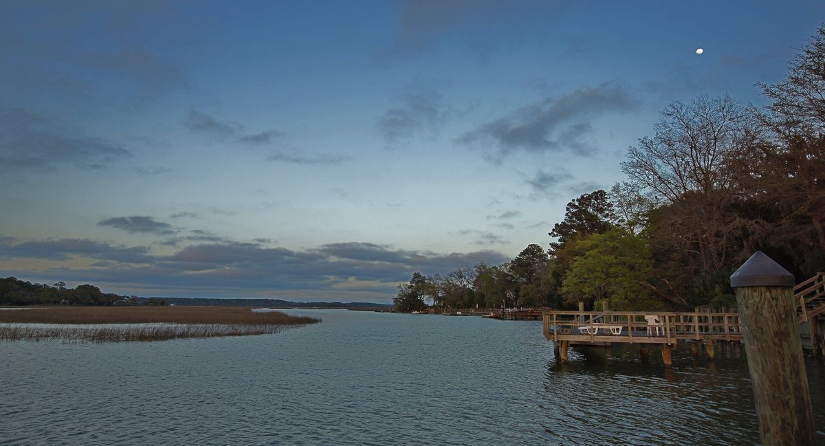
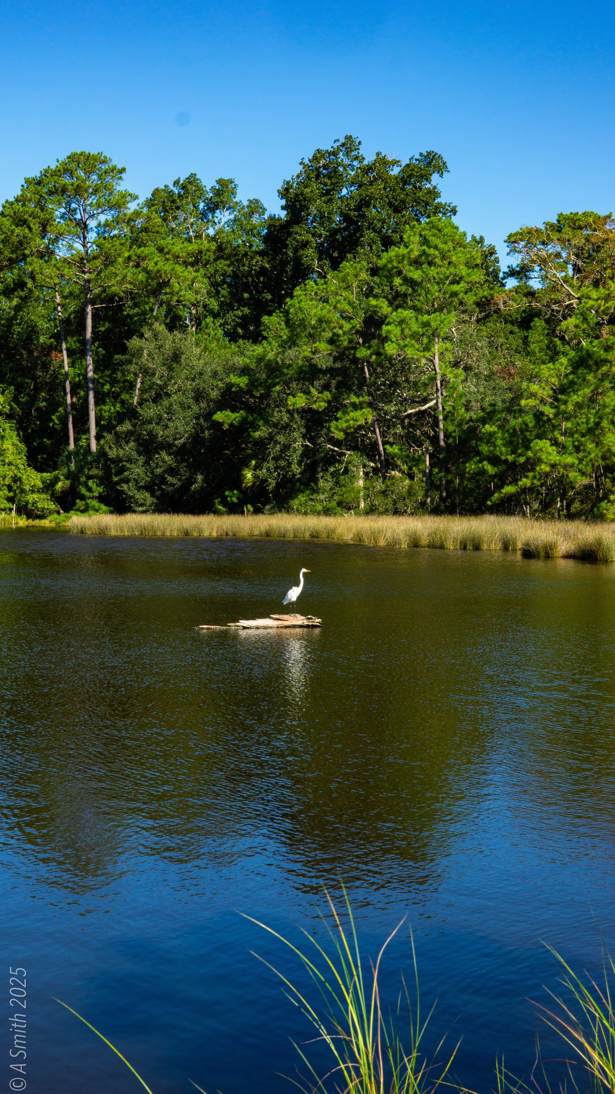
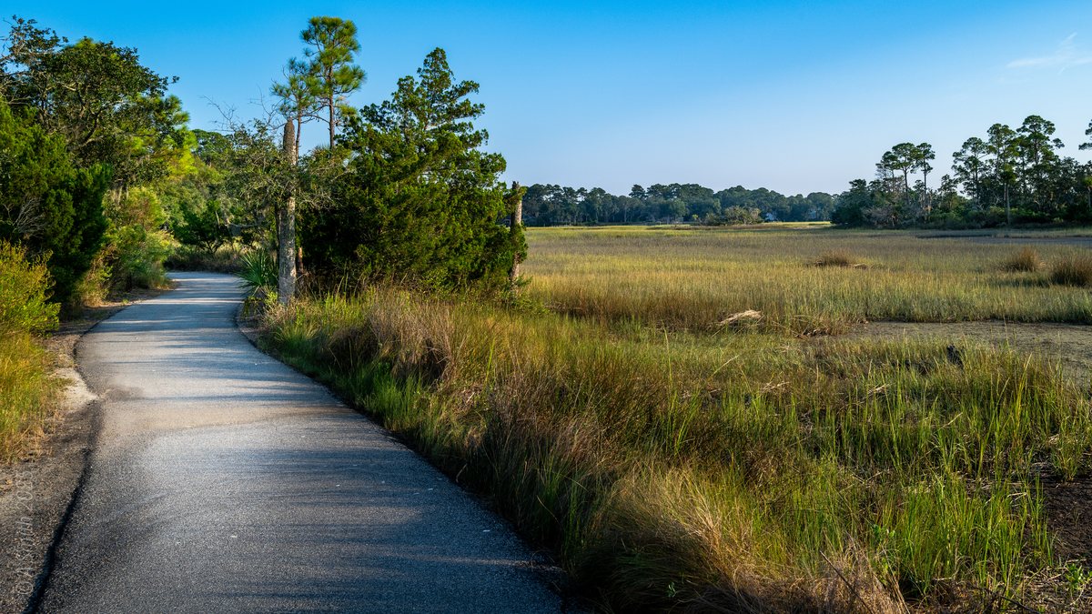
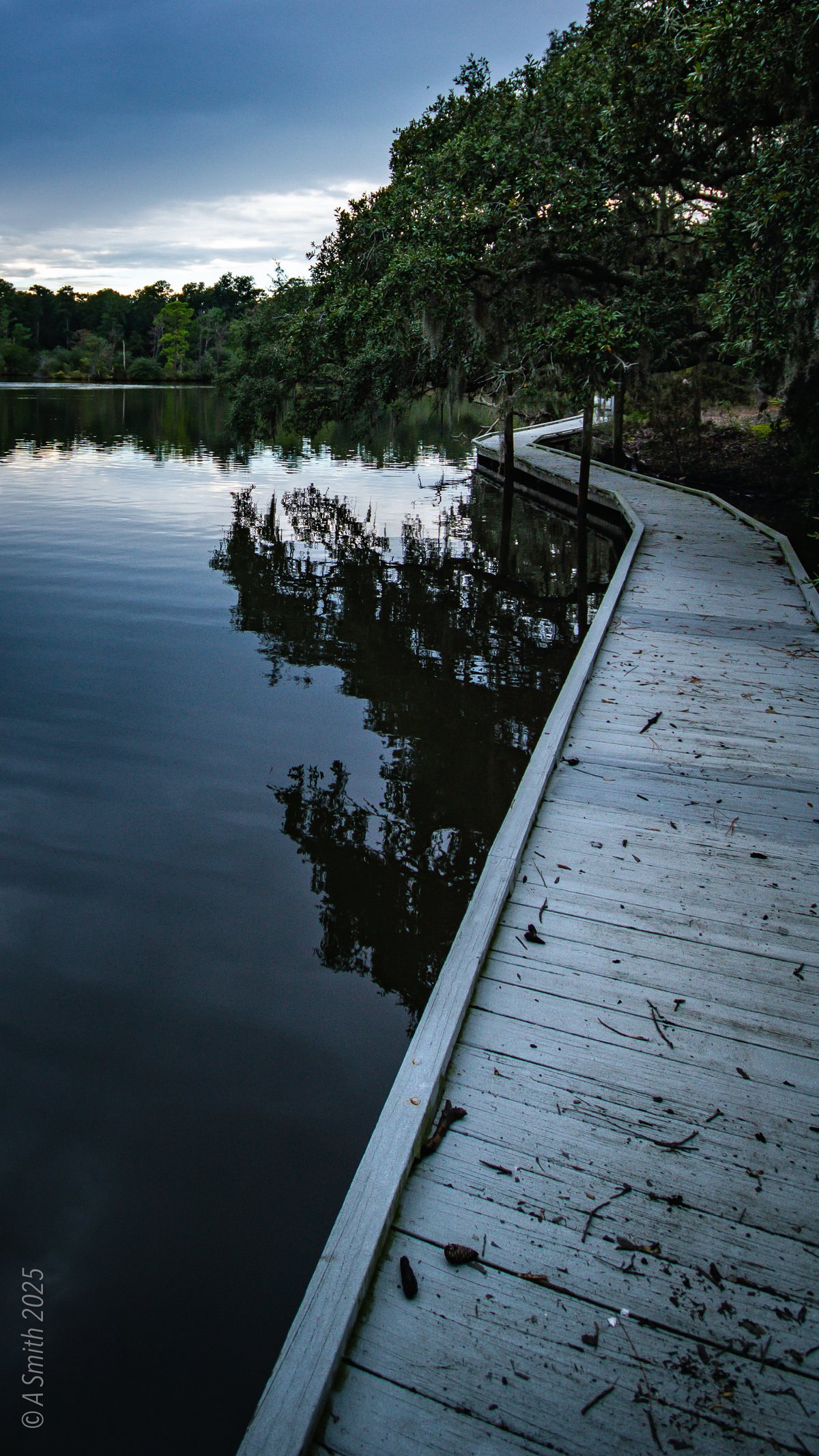
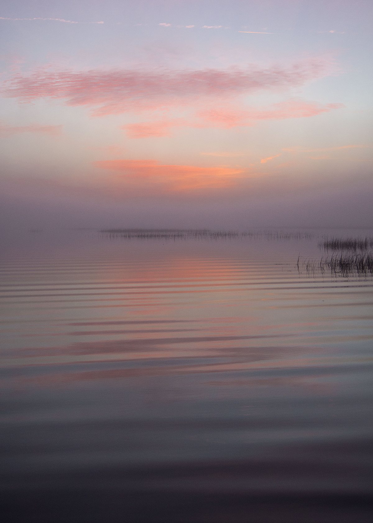
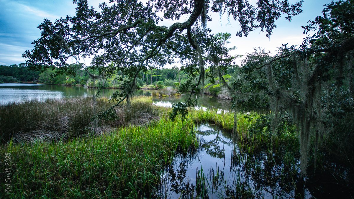
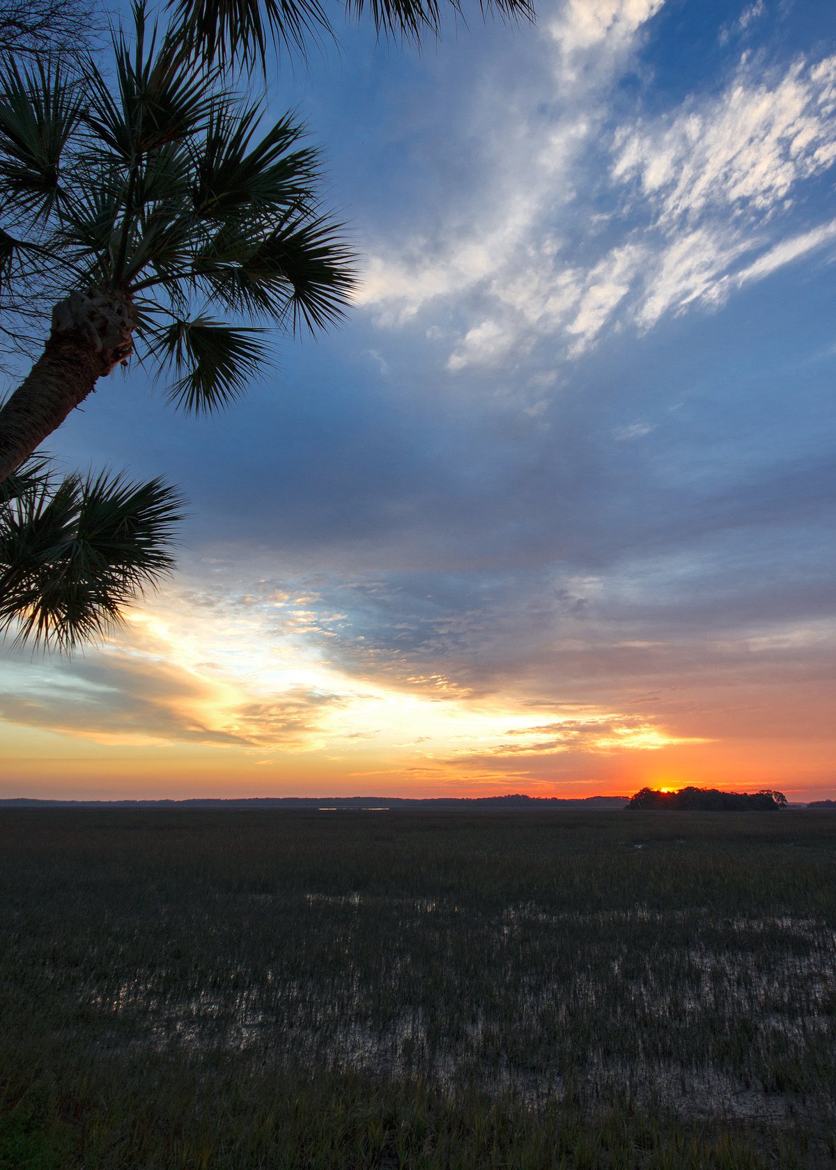
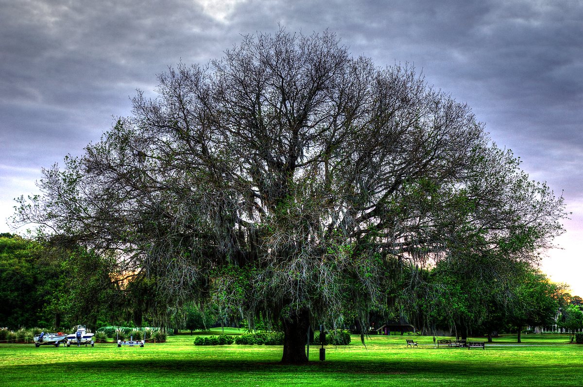
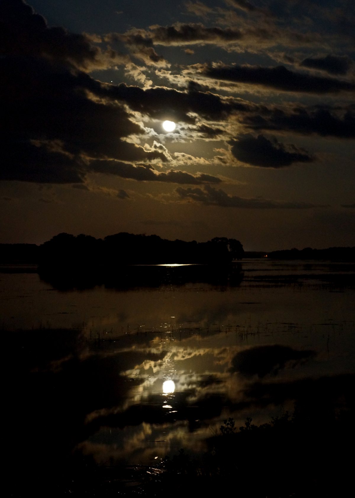
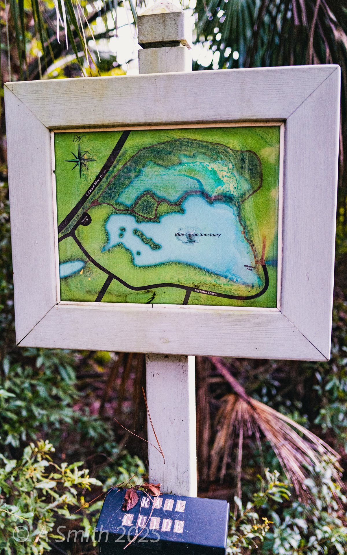
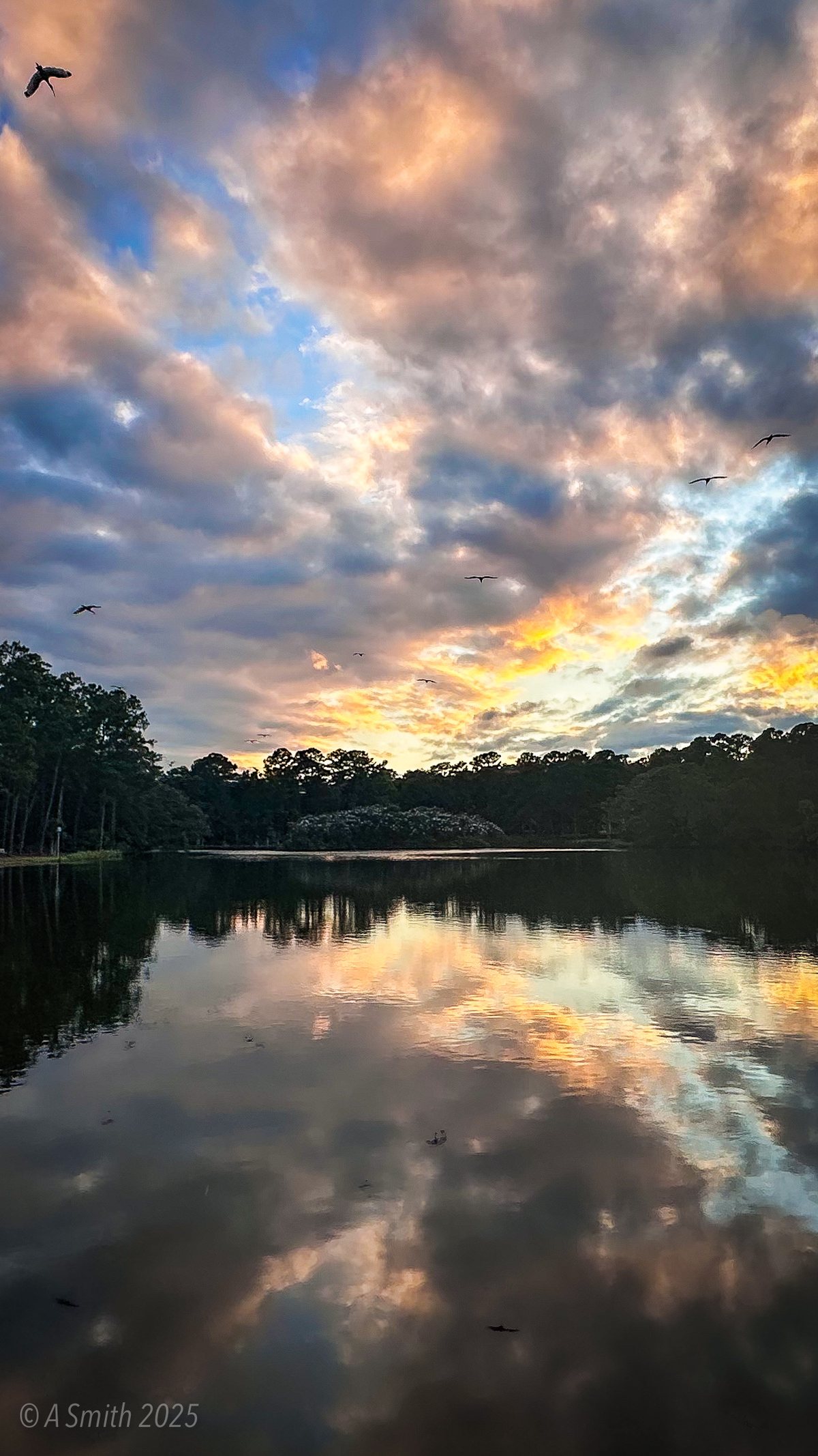
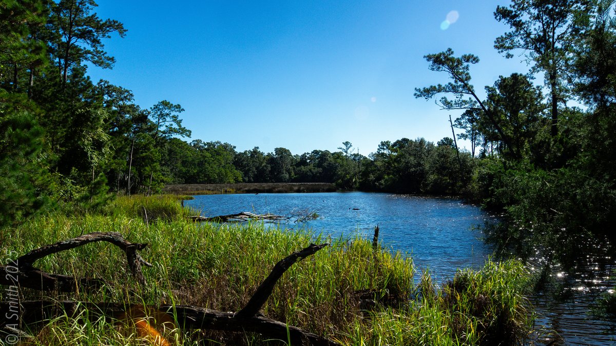
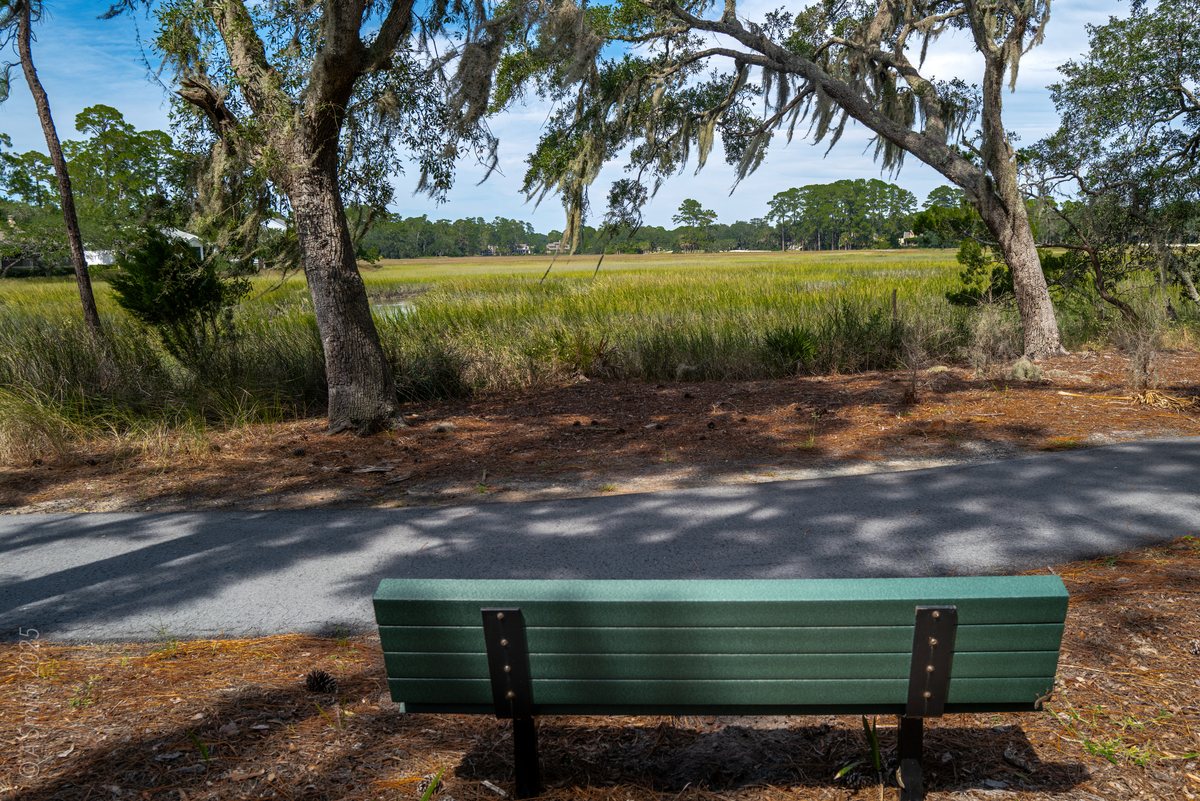
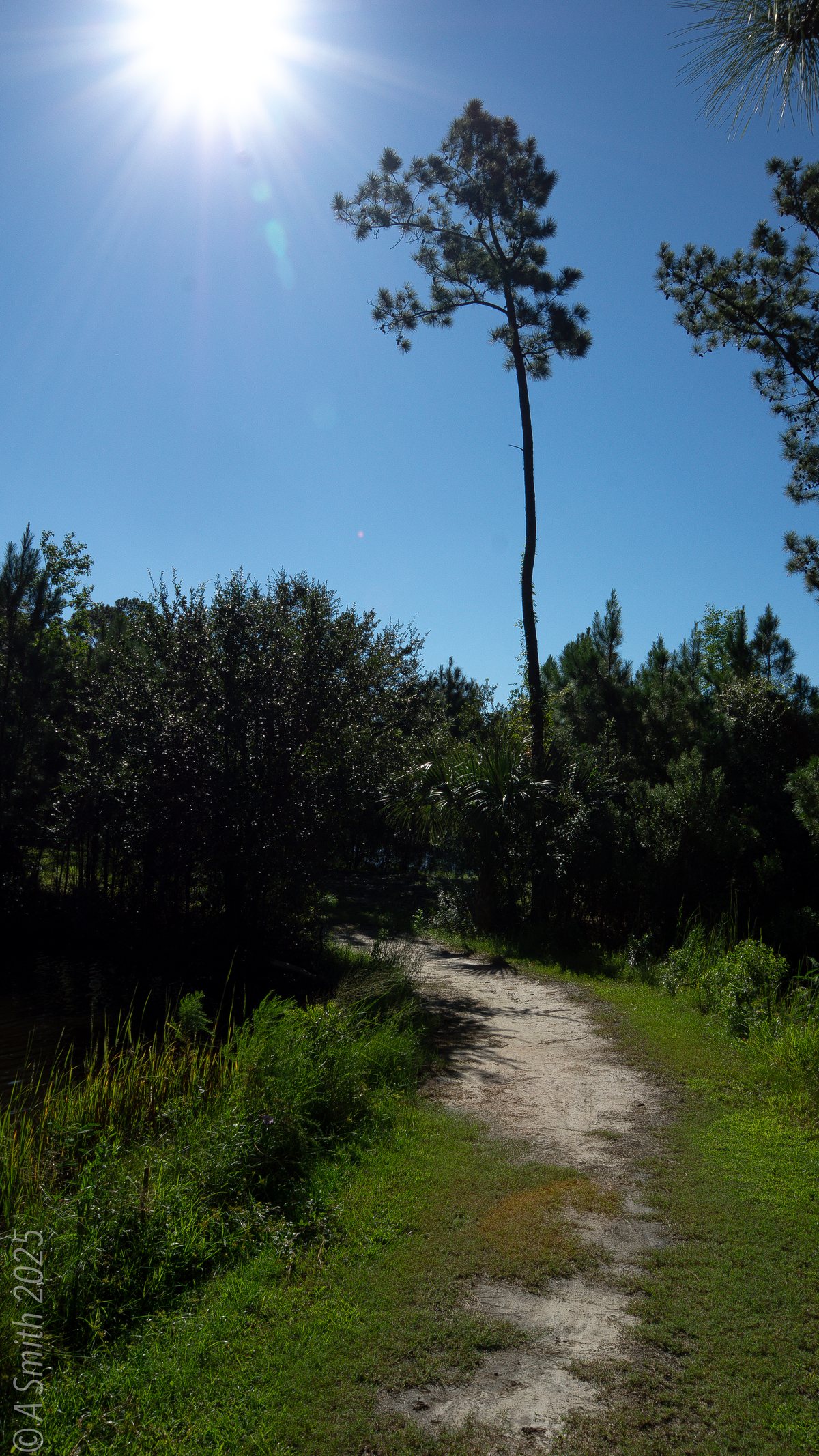
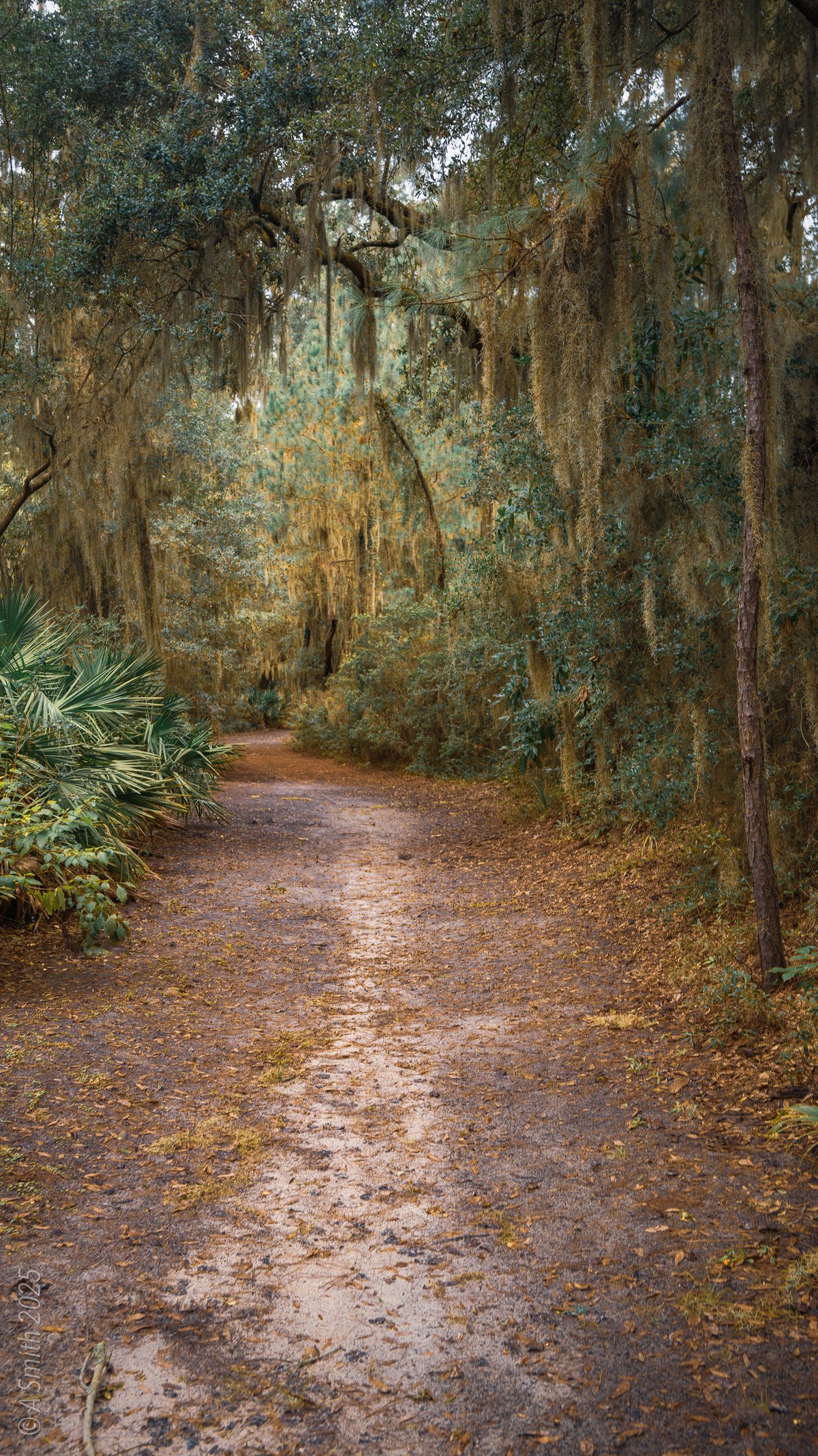
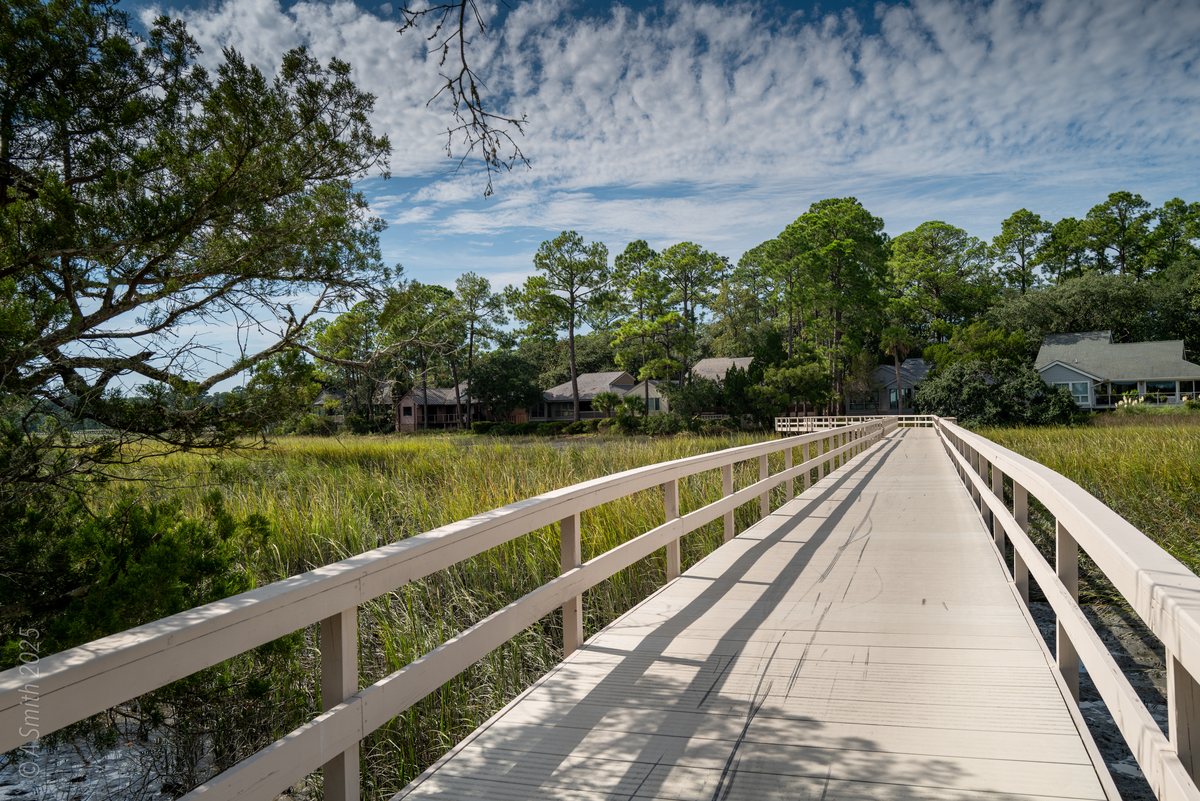
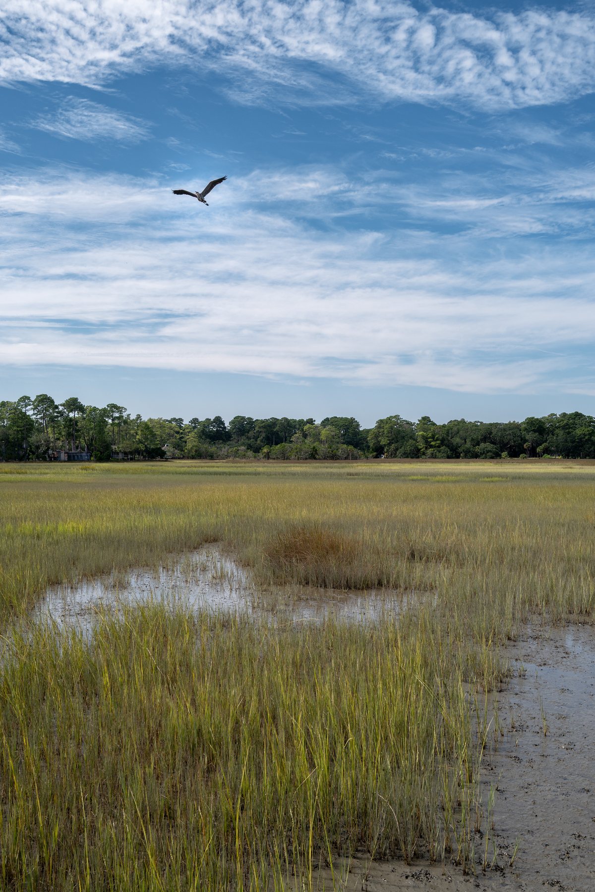
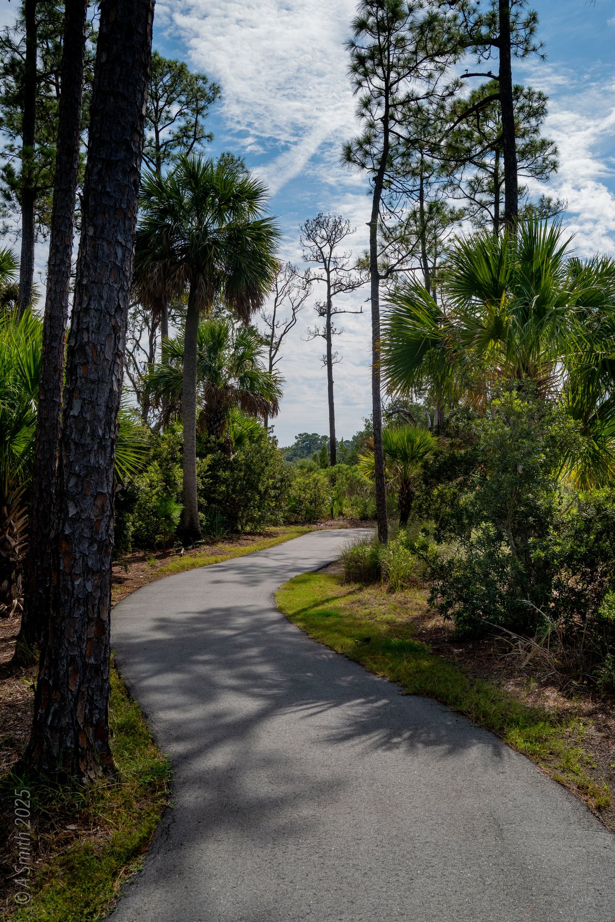
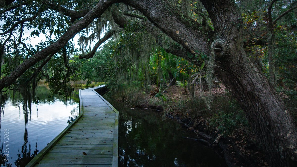
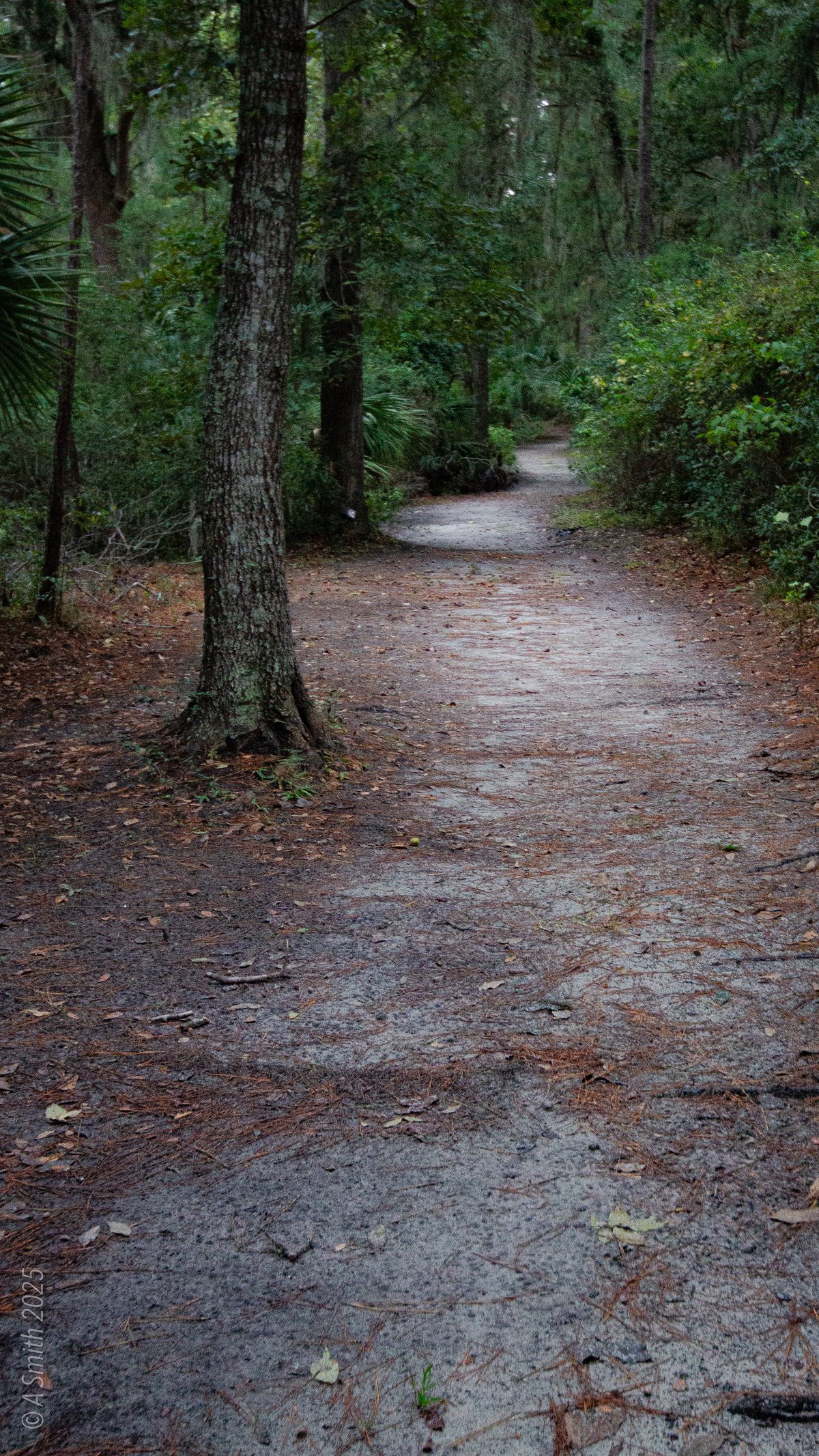
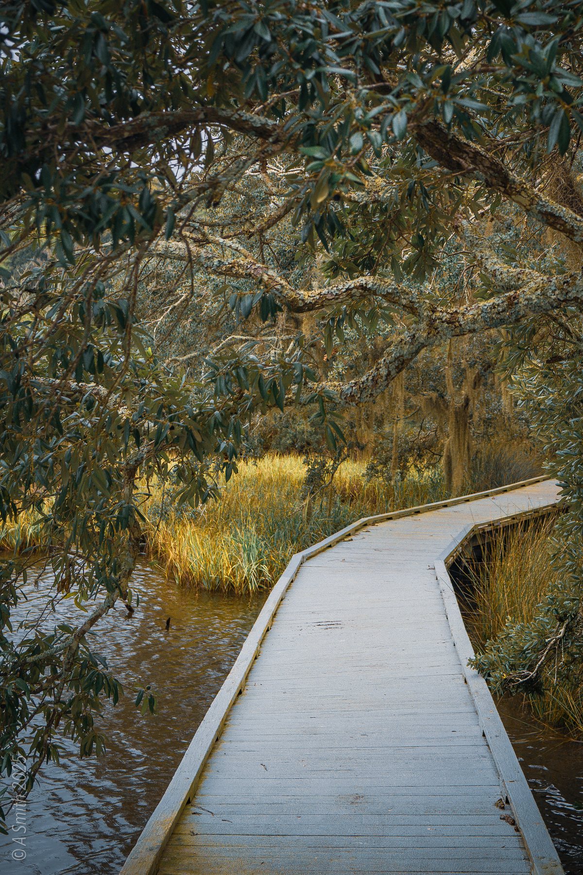
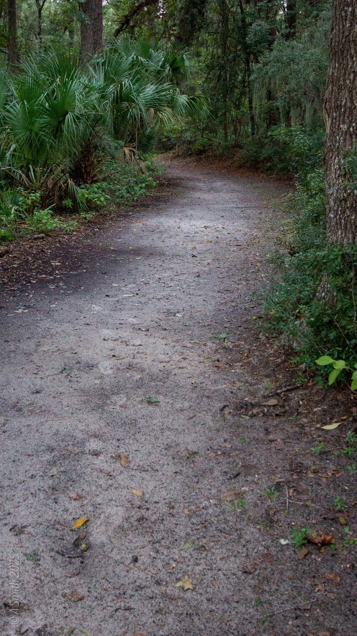
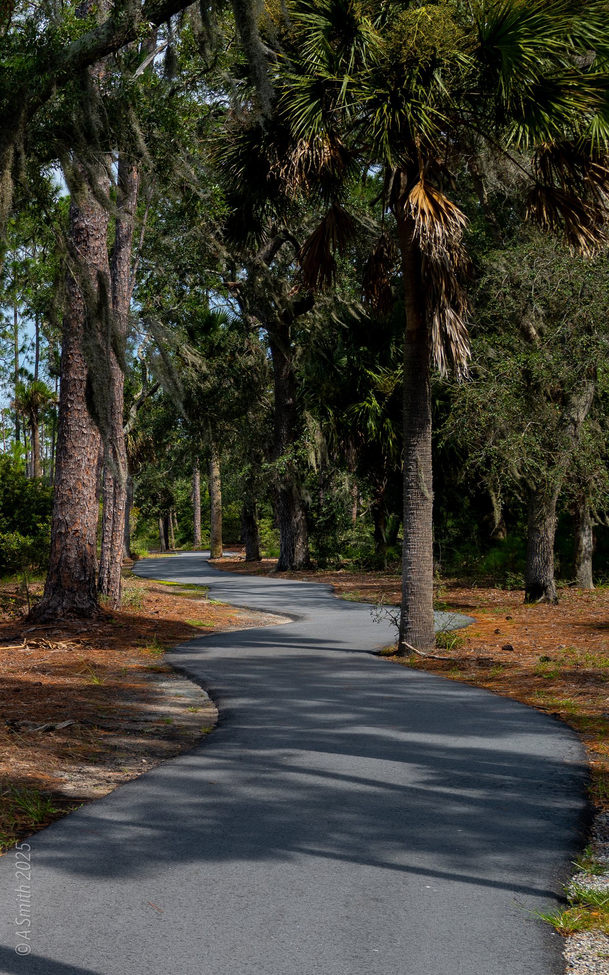
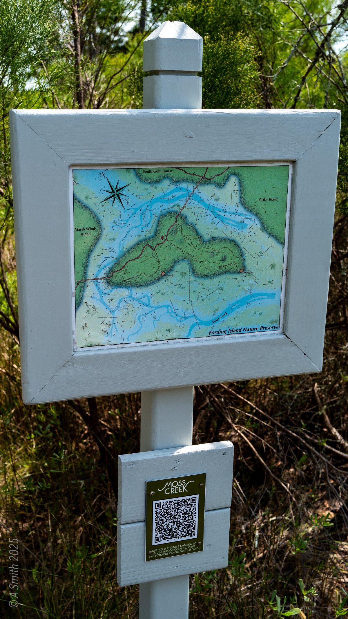
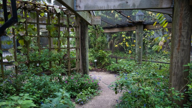
The marsh. Cordgrass and creek water — the preserve's front yard. 56,902 views on Google Maps · Photo taken Mar 2013The dog park. Residents only — the dog park gate lays down the law, politely. 38,979 views on Google Maps · Photo taken May 2023The preserve bridge. The boardwalk bridge on the biking trail, sun coming through the pines. 4,369 views on Google Maps · Photo taken Sep 2025Marsh sunset. The sun drops over the marsh grass. 3,300 views on Google Maps · Photo taken Mar 2013The rookery lake. The preserve lake in August — the rookery trees line the far shore. 3,062 views on Google Maps · Photo taken Aug 2025The lake, wide. Evening on the preserve lake, the rookery island mirrored whole. 2,083 views on Google Maps · Photo taken Aug 2025Hiking trails. Palms and pines crowd the hiking trail. 1,905 views on Google Maps · Photo taken Sep 2025Spoonbills in the rookery. Roseate spoonbills pick through the rookery branches alongside the ibis. 1,754 views on Google Maps · Photo taken Aug 2025Across the lake. Clouds pile up over the preserve lake. 1,613 views on Google Maps · Photo taken Oct 2025The pecan grove. The pecan grove in winter — moss, grass, and long shadows. 1,380 views on Google Maps · Photo taken Mar 2013Walking trails. A palmetto stands sentinel over the walking trail. 1,294 views on Google Maps · Photo taken Sep 2025Lake sunset. A whole sky's worth of sunset, doubled in the lake. 1,053 views on Google Maps · Photo taken Aug 2025The rookery at sunset. Ibis come home to roost as the sky turns. 1,018 views on Google Maps · Photo taken Aug 2025The grassy trail. A soft path through the preserve woods. 978 views on Google Maps · Photo taken Oct 2025The estuary. Egrets roost in a dead pine over the estuary marsh. 880 views on Google Maps · Photo taken Jul 2006The boardwalk. The boardwalk slips under the live oaks. 822 views on Google Maps · Photo taken Oct 2025Preserve marsh. Marsh grass, open water, and an egret on the wing. 803 views on Google Maps · Photo taken Sep 2025February sunrise. A February sunrise over the marsh, palms in silhouette. 638 views on Google Maps · Photo taken Feb 2013March sunset. March light on the creek. 613 views on Google Maps · Photo taken Mar 2013Sunrise over the marsh. First light sets the marsh grass glowing. 597 views on Google Maps · Photo taken Feb 2013The creek. The creek narrows between the pines. 573 views on Google Maps · Photo taken Sep 2025The gravel path. The hiking trail runs straight through palmettos and pines. 567 views on Google Maps · Photo taken Sep 2025The rookery, close. Ibis crowd the branches — the archive calls this corner a heron sanctuary. 539 views on Google Maps · Photo taken Aug 2025The shaded path. The paved trail bends through deep shade. 533 views on Google Maps · Photo taken Sep 2025The marsh pond. Open water inside the marsh, woods all around. 511 views on Google Maps · Photo taken Sep 2025Marsh and pines. Marsh grass in front, the pine wall behind. 500 views on Google Maps · Photo taken Sep 2025Heron on the oysters. A heron picks its way along an oyster bank. 431 views on Google Maps · Photo taken Sep 2025Marsh fog. Fog sits on the marsh at first light. 406 views on Google Maps · Photo taken Feb 2013Anhinga. An anhinga poses on a snag, beak up. 391 views on Google Maps · Photo taken Sep 2025Boardwalk oaks. Live oaks lean over the boardwalk at the lake's edge. 377 views on Google Maps · Photo taken Oct 2025Moonrise. Dusk on the creek, the moon already up. 366 views on Google Maps · Photo taken Mar 2013Heron on a log. A heron stands its watch on a floating log. 364 views on Google Maps · Photo taken Sep 2025Low-tide creek. The tidal creek threads through the mudflats. 342 views on Google Maps · Photo taken Oct 2025Spoonbills and egrets. Two roseate spoonbills wade with the snowy egrets — the preserve's signature shot. 340 views on Google Maps · Photo taken Sep 2025Path and marsh. The paved trail runs the edge of the marsh. 333 views on Google Maps · Photo taken Sep 2025The lake boardwalk. The boardwalk hugs the shoreline under the oaks. 310 views on Google Maps · Photo taken Oct 2025Dawn. Dawn turns the creek pink and silver. 309 views on Google Maps · Photo taken Mar 2013The marsh channel. A quiet channel cuts the marsh at the lake's edge. 307 views on Google Maps · Photo taken Oct 2025Sunrise, portrait. Another February sunrise — the marsh keeps a schedule. 299 views on Google Maps · Photo taken Feb 2013The live oak. One enormous live oak, bare for winter, owns this lawn. 269 views on Google Maps · Photo taken Apr 2013Moon over water. The moon breaks through cloud over the creek. 265 views on Google Maps · Photo taken Apr 2013Ibis, close. White ibis at telephoto length, settling into the branches. 263 views on Google Maps · Photo taken Aug 2025The preserve map. The trailhead map of the nature preserve — lake, island, and all. 261 views on Google Maps · Photo taken Aug 2025Sunset, with birds. Birds cross a burning sky over the lake. 259 views on Google Maps · Photo taken Aug 2025The inlet. Where the creek bends into the preserve lake. 237 views on Google Maps · Photo taken Sep 2025The bench. A green bench faces the marsh — sit a while. 233 views on Google Maps · Photo taken Sep 2025The rookery tree. One tree, every bird — herons, spoonbills, anhingas, night herons and ibis, per the archive's own caption. 231 views on Google Maps · Photo taken Aug 2025The sunlit trail. Sun blasts the dirt trail under a lone pine. 175 views on Google Maps · Photo taken Sep 2025The golden trail. The woods trail in late, honey-colored light. 172 views on Google Maps · Photo taken Oct 2025The white bridge. The preserve's white bridge crosses the marsh. 135 views on Google Maps · Photo taken Sep 2025Marsh sky. A lone bird rides the sky over the open marsh. 132 views on Google Maps · Photo taken Sep 2025The rookery, portrait. The whole rookery tree, top to waterline. 126 views on Google Maps · Photo taken Aug 2025The paved trail. The paved trail in dappled light. 115 views on Google Maps · Photo taken Sep 2025Boardwalk and oak. A giant oak leans over the boardwalk's bend. 84 views on Google Maps · Photo taken Oct 2025The rookery, 2026. The colony in June 2026 — one spoonbill stands pink above the white ibis. 80 views on Google Maps · Photo taken Jun 2026The woods path. A narrow path through dark woods. 57 views on Google Maps · Photo taken Oct 2025Marsh views. The marsh in full green, the creek winding through. 42 views on Google Maps · Photo taken Sep 2025The boardwalk curve. The boardwalk curves through golden marsh grass. 39 views on Google Maps · Photo taken Oct 2025Ibis and neighbors. The rookery shares its tree with the neighborhood — houses just behind the branches. 29 views on Google Maps · Photo taken Jun 2026October trail. A dirt trail through the fall woods. · Photo taken Oct 2025September trail. The paved trail under tall pines. · Photo taken Sep 2025The trail map sign. The preserve map post, QR code and all. · Photo taken Oct 2025See Moss Creek Nature Preserve on Google Maps
63 photos: 220,952 views on Google Maps — and counting.
 Hilton Head