 Hilton Head
Oyster Alley Boardwalk
Jarvis Creek · At Honey Horn, Hilton Head Island
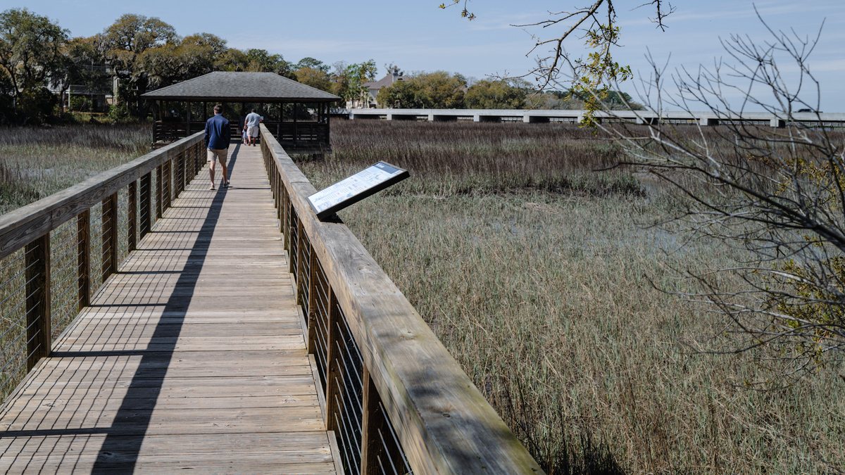
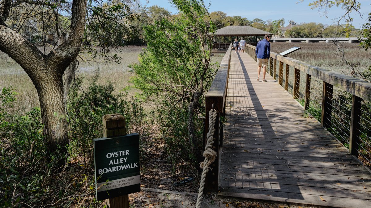
Oyster Alley Boardwalk. The boardwalk runs out over the marsh toward Jarvis Creek. 19,586 views on Google Maps · Photo taken Mar 2024
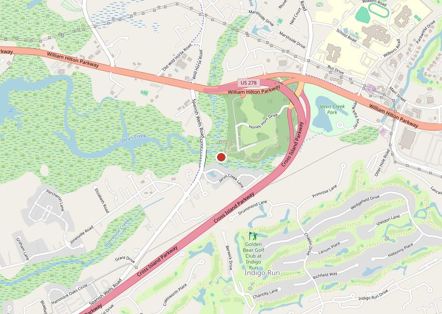
Where it is. The pin is the Oyster Alley Boardwalk at Honey Horn, overlooking Jarvis Creek. Tap the map to open it in Google Maps. Map © OpenStreetMap contributors.
Location: Honey Horn, Hilton Head Island
Category: Boardwalk & Piers
Best For: Marsh views over Jarvis Creek
The Archive: 7 photos · 47,157 views on Google Maps
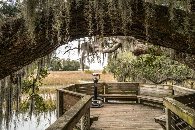
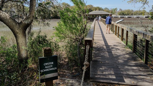
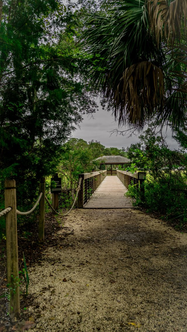
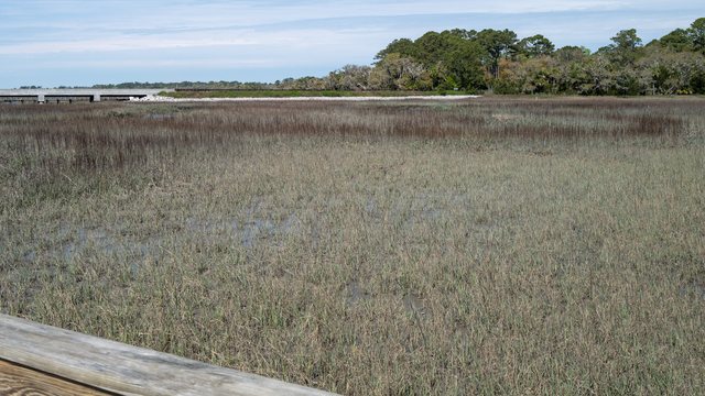

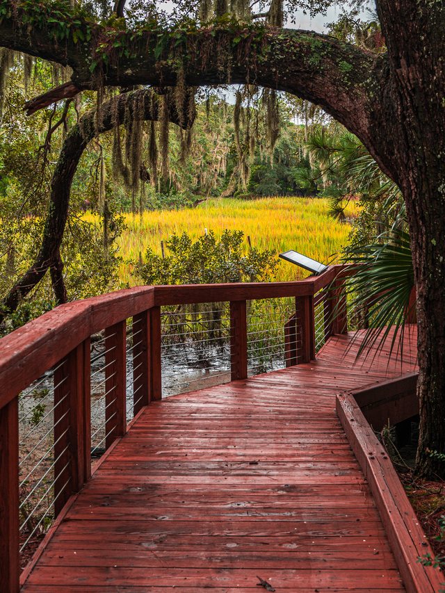
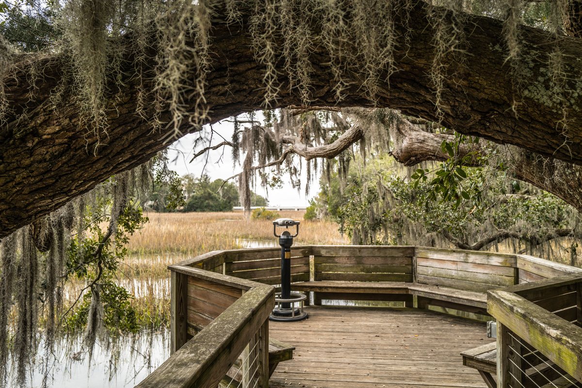
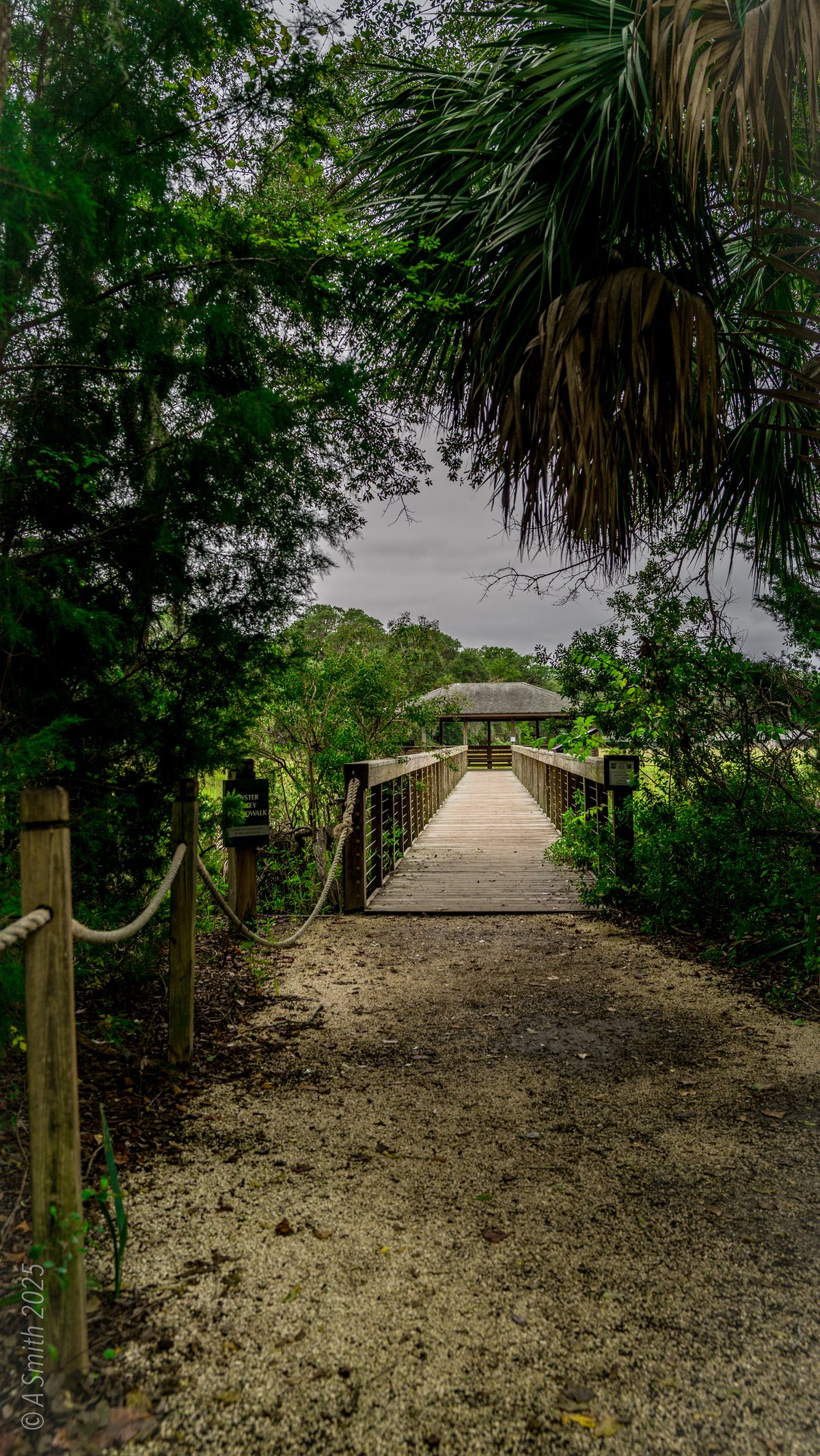
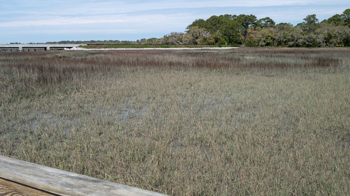
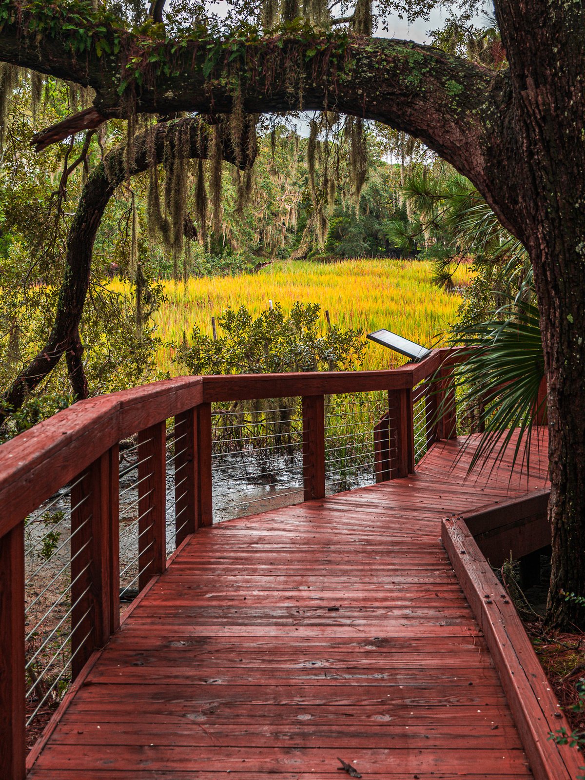
The Oyster Alley Boardwalk carries the Honey Horn grounds out over the salt marsh to Jarvis Creek — decks, benches and a viewing scope above the cordgrass. At low tide the mud flats shine; at high tide the creek comes right up to the rails. This photo has been viewed 19,586 times on Google Maps.
Key Takeaways
- 7 photos, shot between 2024 and 2026: 47,157 views on Google Maps and counting.
- The boardwalk path starts near the Nan Lloyd Nature Trail trailhead.
- Jarvis Creek Park, across the water, has its own page in this archive.

7 photos: 47,157 views on Google Maps — and counting.
Nearby Spots
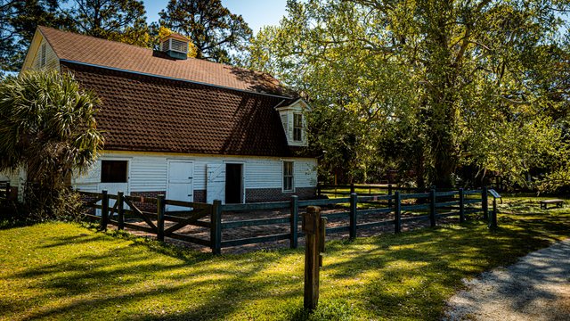
Coastal Discovery Museum
70 Honey Horn Drive, Hilton Head Island · Same center
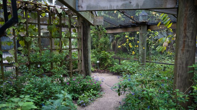
Karen Wertheimer Butterfly Habitat
Honey Horn, Hilton Head Island · 0.1 mi
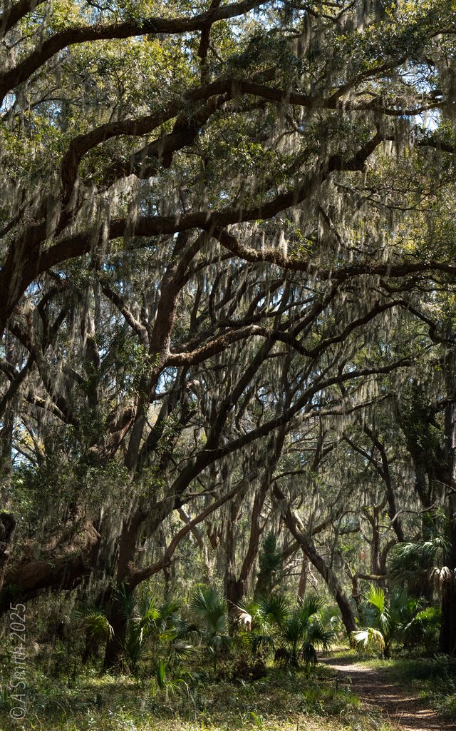
Nan Lloyd Nature Trail
Honey Horn, Hilton Head Island · 0.1 mi
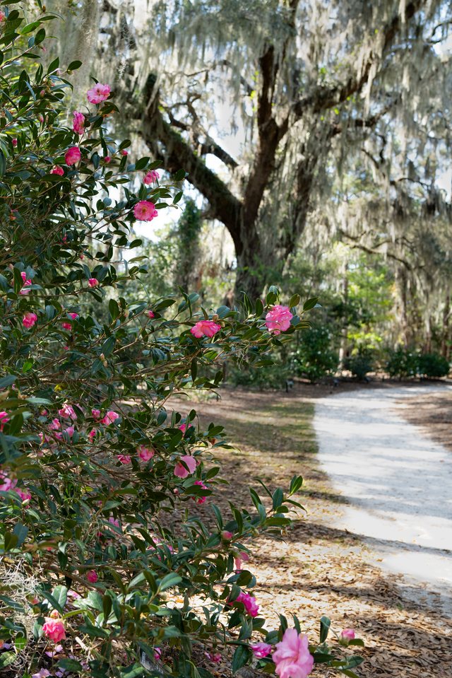
Manske Camellia Garden
Honey Horn, Hilton Head Island · 0.2 mi
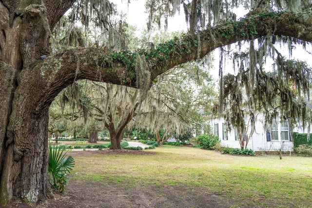
Honey Horn
70 Honey Horn Drive, Hilton Head Island · 0.2 mi

Ruan Thai Hut
Main Street Village, Hilton Head Island · 1.2 mi
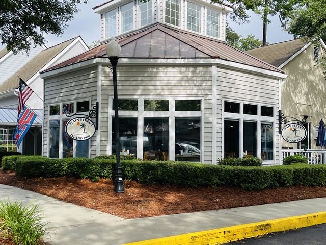
Main Street Island Pub
Main Street Village, Hilton Head Island · 1.3 mi

Pinckney Island
Off US 278, between Bluffton & Hilton Head Island · 1.9 mi
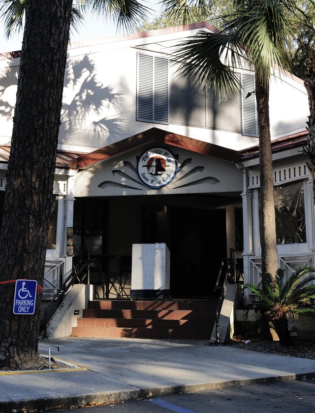
Palmetto Bay Sunrise Cafe
Palmetto Bay Road, Hilton Head Island · Parks
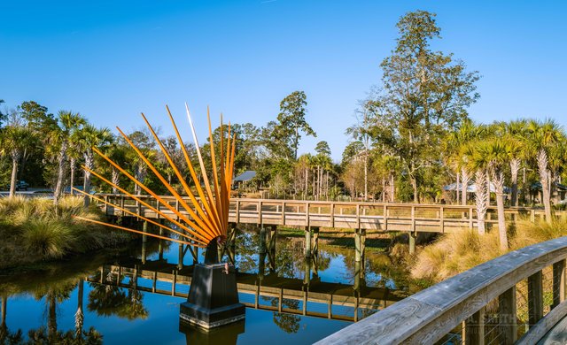
The Sunburst Sculpture
Coligny, Hilton Head Island · Parks
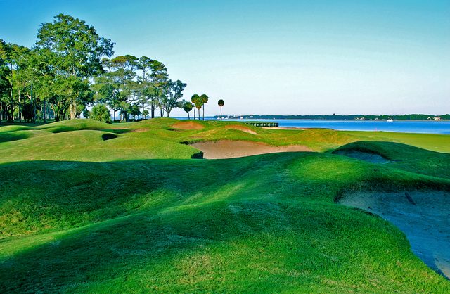
Daufuskie Island
Between Hilton Head & Savannah · By boat only · Parks
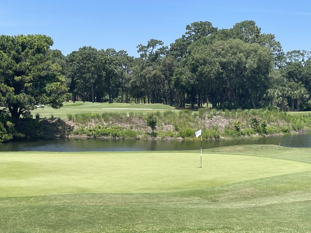
Hilton Head National Golf Club
Off US 278, Bluffton · Parks