 Hilton Head
Nan Lloyd Nature Trail
At Honey Horn · Hilton Head Island, South Carolina
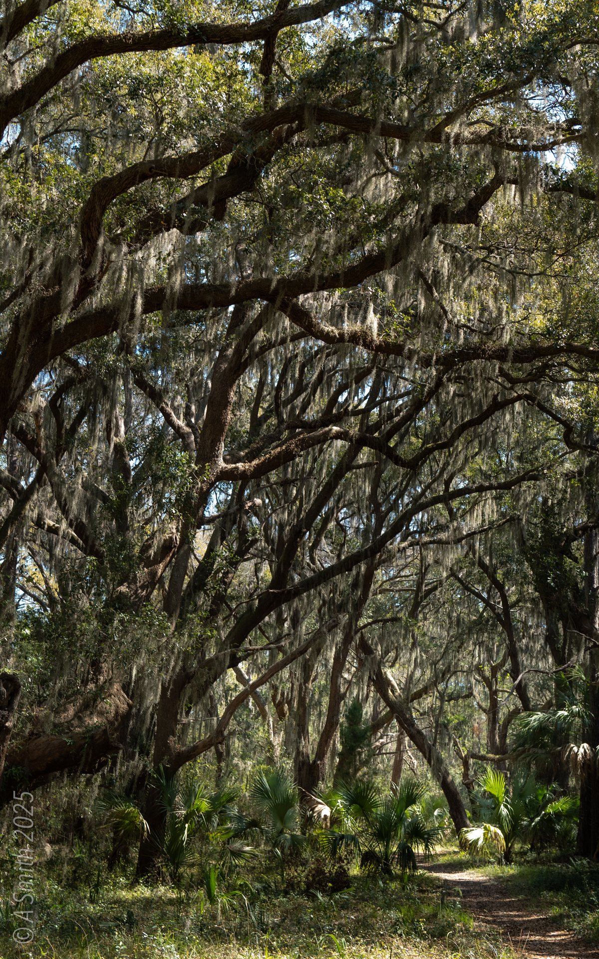
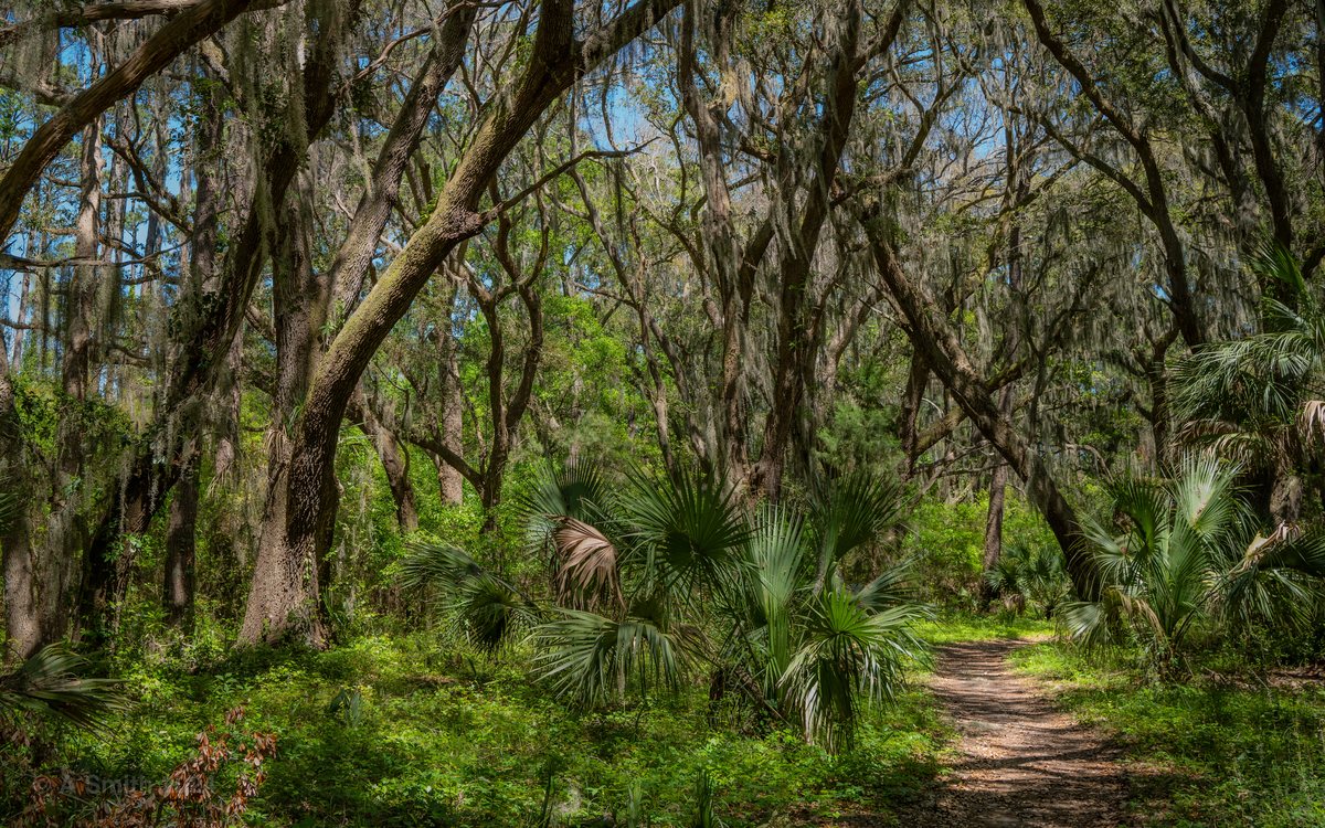
The Nan Lloyd Nature Trail. The trail runs through maritime forest — oaks, palmettos and pine straw underfoot. 9,871 views on Google Maps · Photo taken Oct 2025
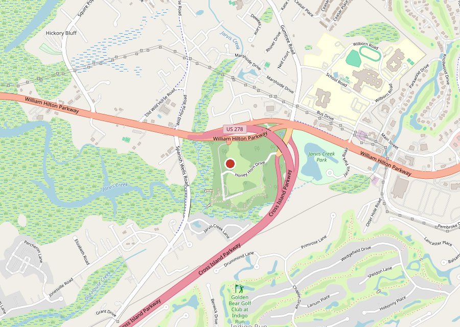
Where it is. The pin is the Nan Lloyd Nature Trail trailhead at Honey Horn. Tap the map to open it in Google Maps. Map © OpenStreetMap contributors.
Location: Honey Horn, Hilton Head Island
Category: Nature Trail
Best For: A shaded walk through maritime forest
The Archive: 22 photos · 32,524 views on Google Maps
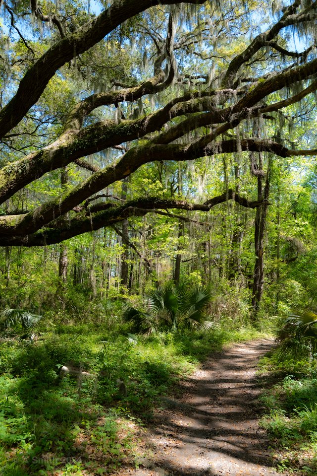
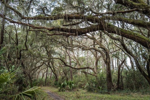
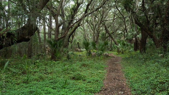
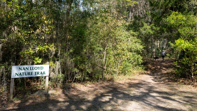
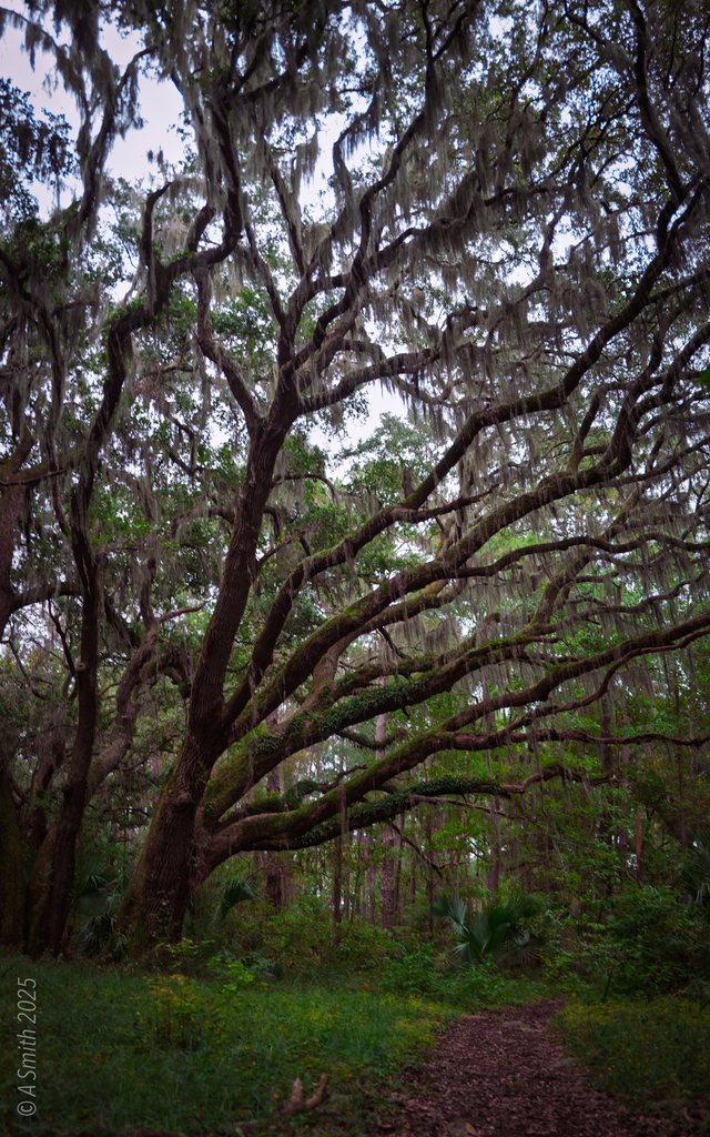
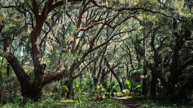
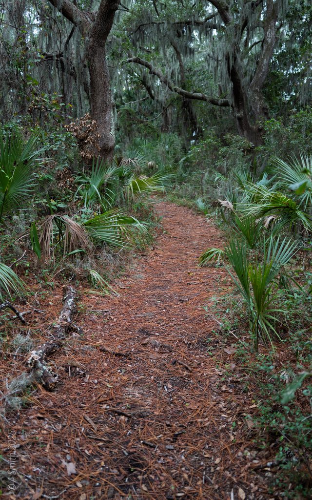
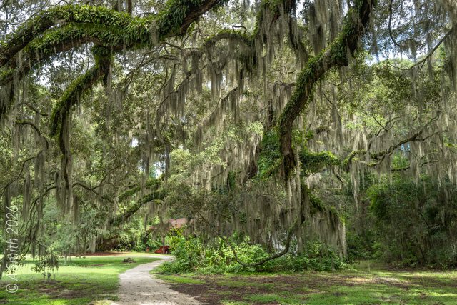
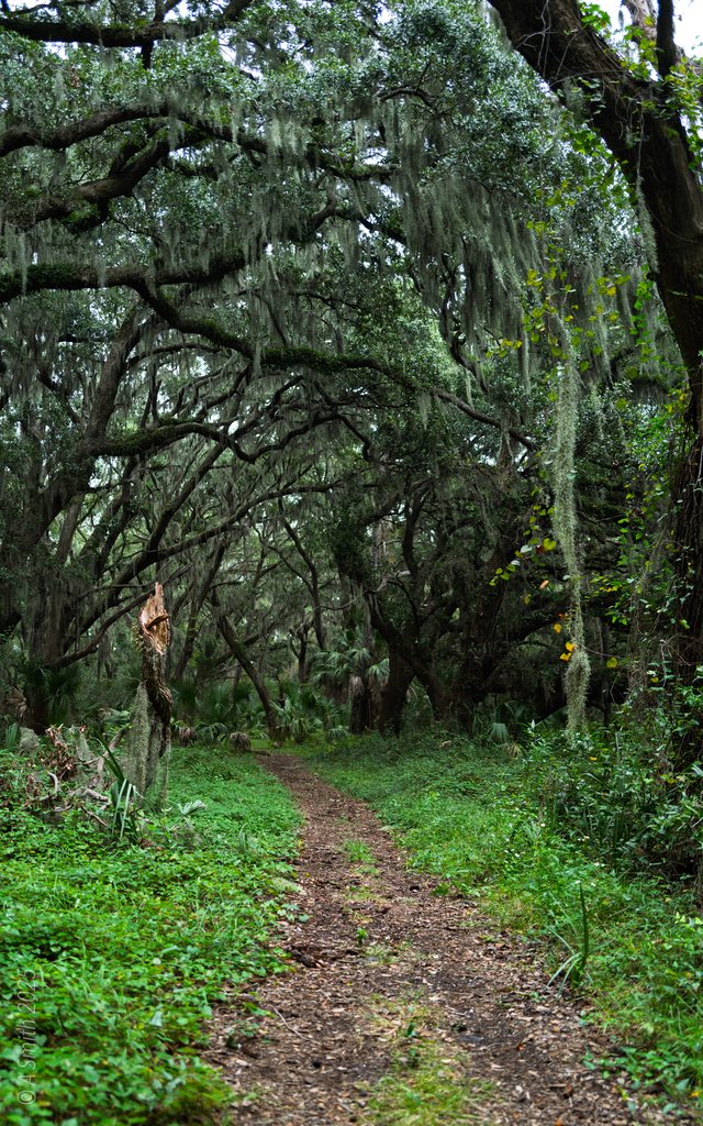
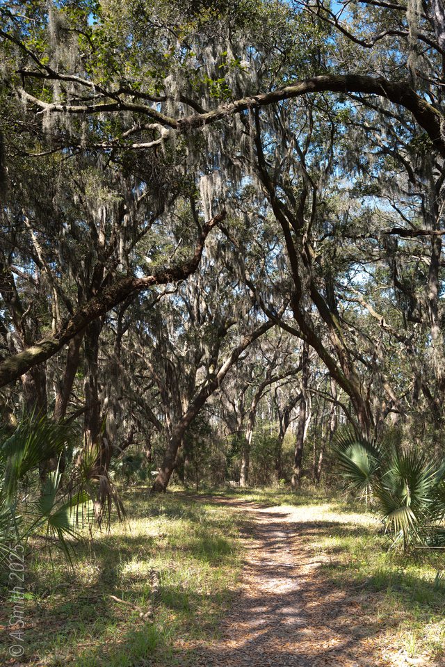
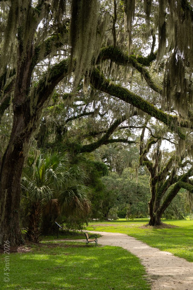
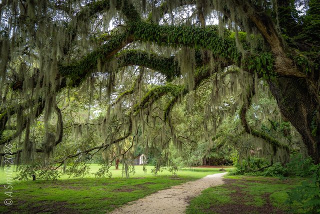
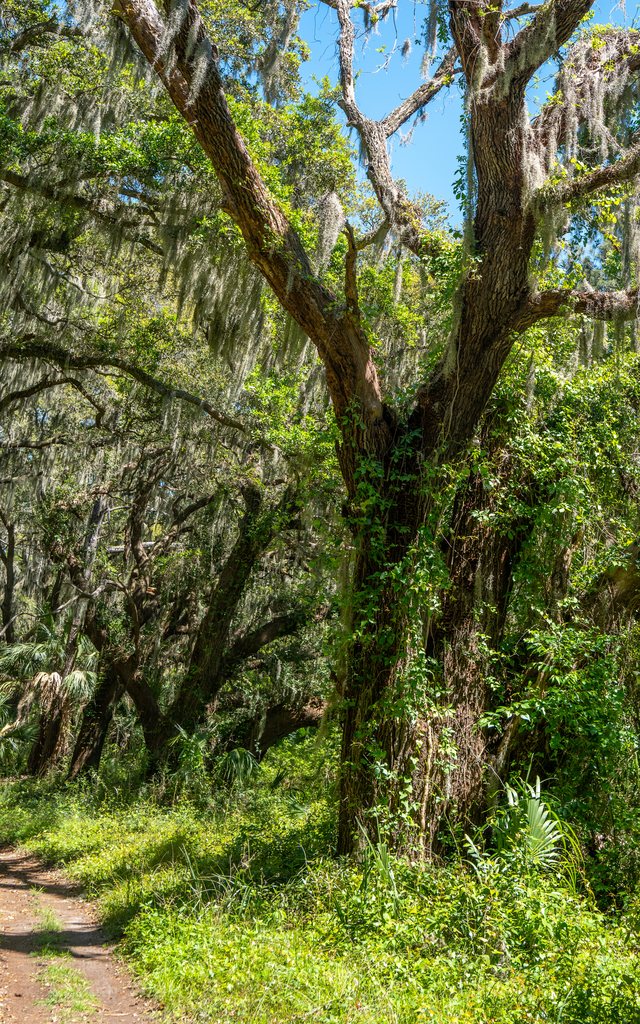
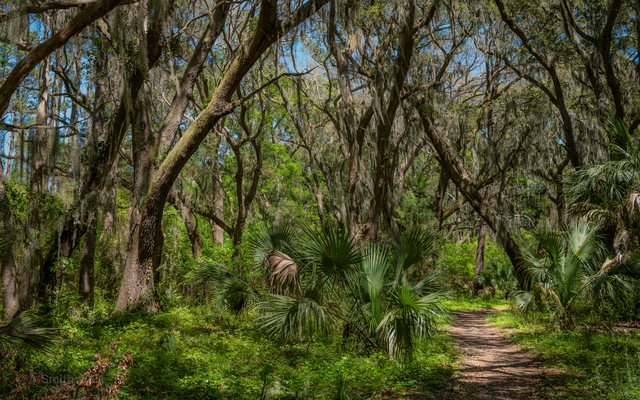
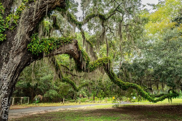
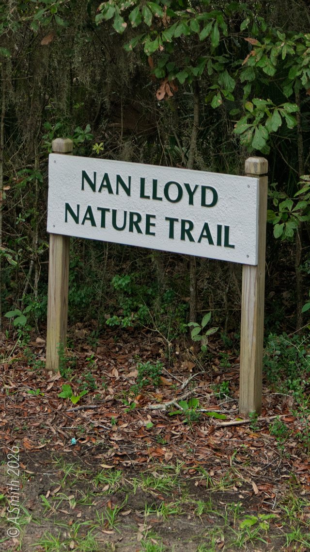
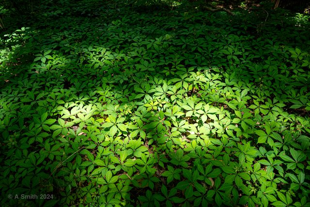
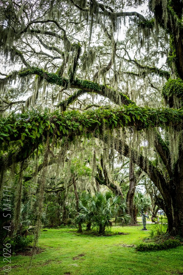
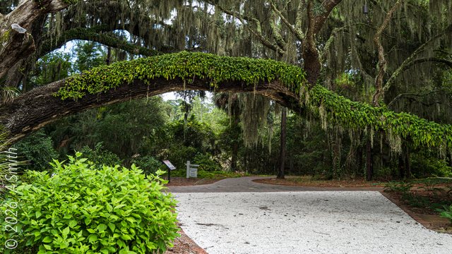
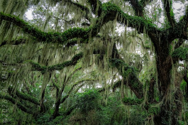
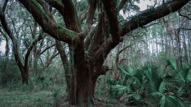
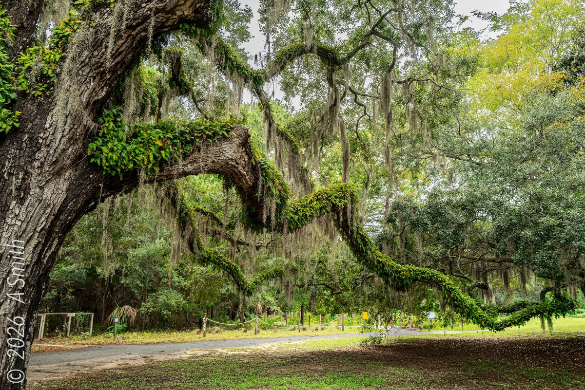
The Nan Lloyd Nature Trail loops through the maritime forest at Honey Horn — live oaks bent into green arches, palmetto understory, and pine straw soft underfoot. It is the shadiest walk on the island, and the most photographed corner of the grounds in this archive. This photo has been viewed 9,871 times on Google Maps.
Key Takeaways
- 22 photos, shot between 2024 and 2026: 32,524 views on Google Maps and counting.
- The trail is short and flat — the full loop fits inside a museum visit.
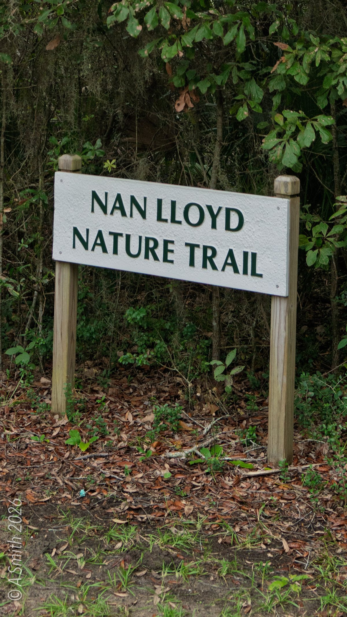
- Trailhead signs mark the start off the main grounds, near the Oyster Alley Boardwalk path.
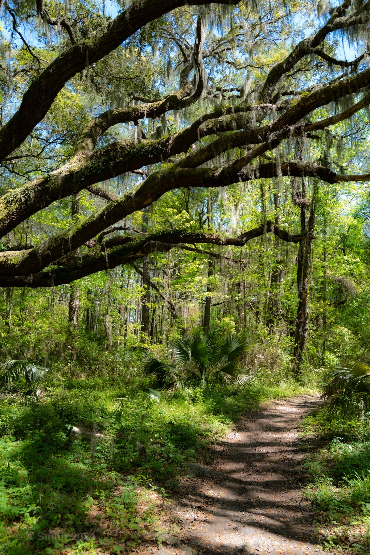
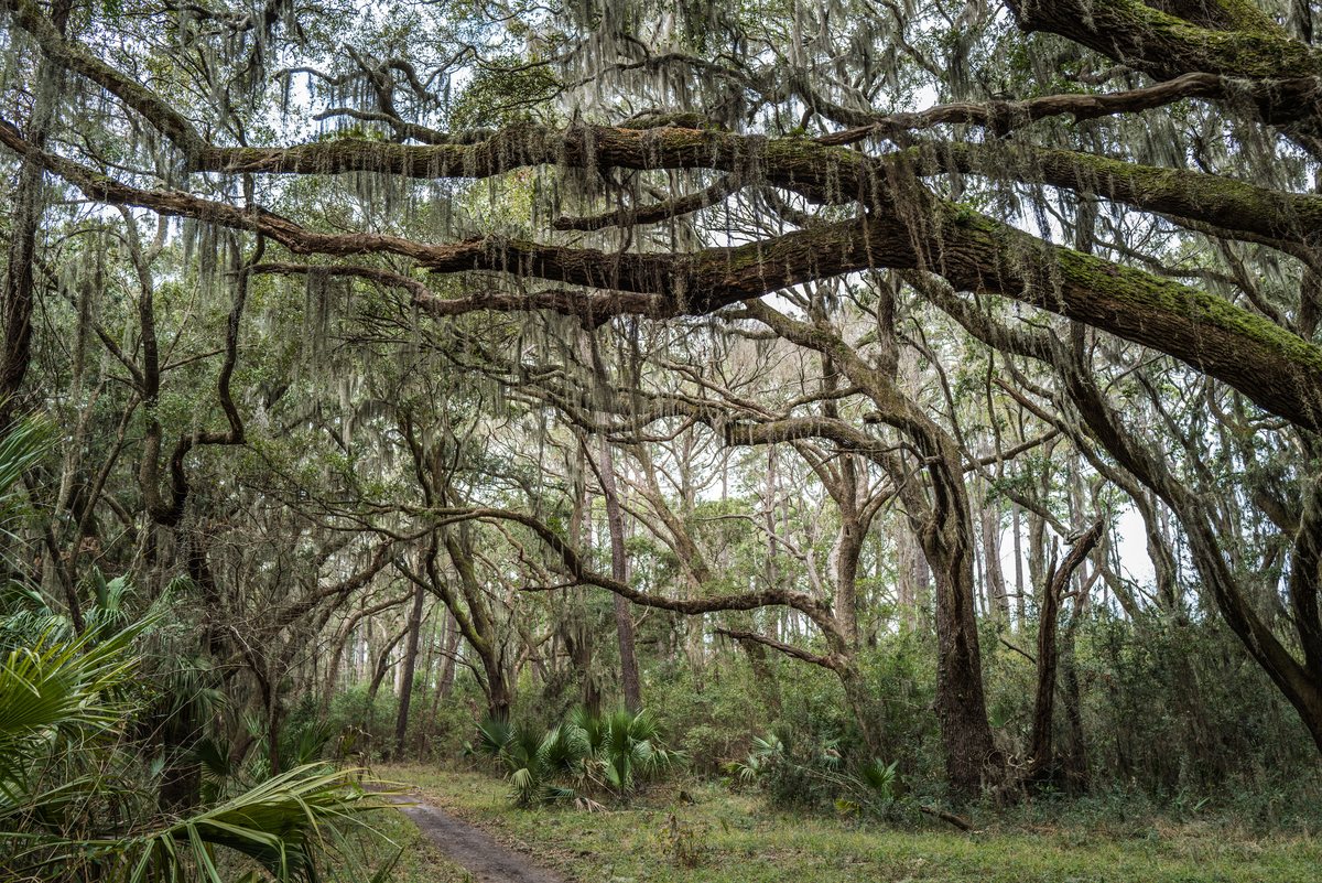
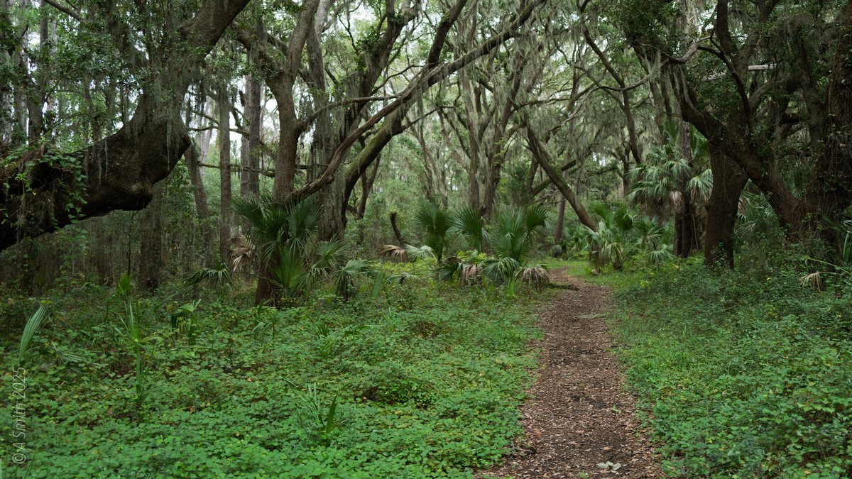
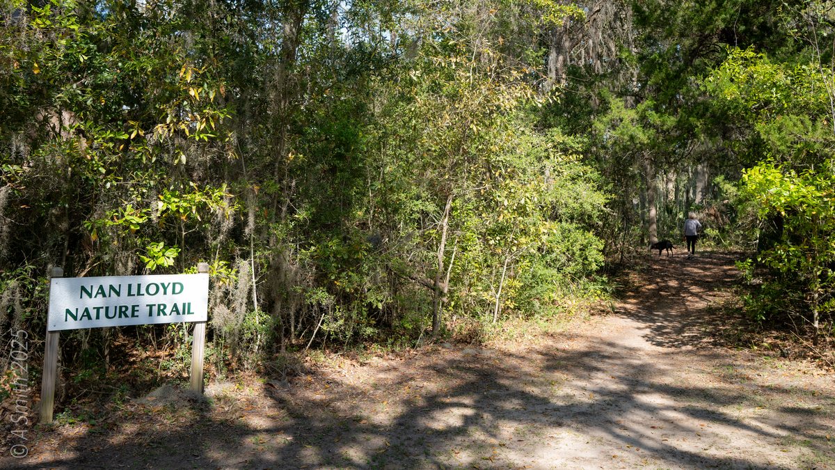
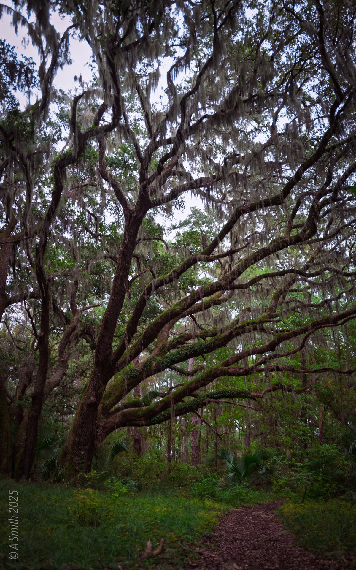
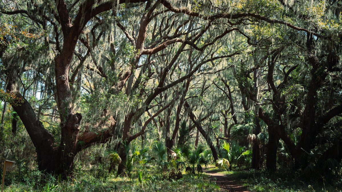
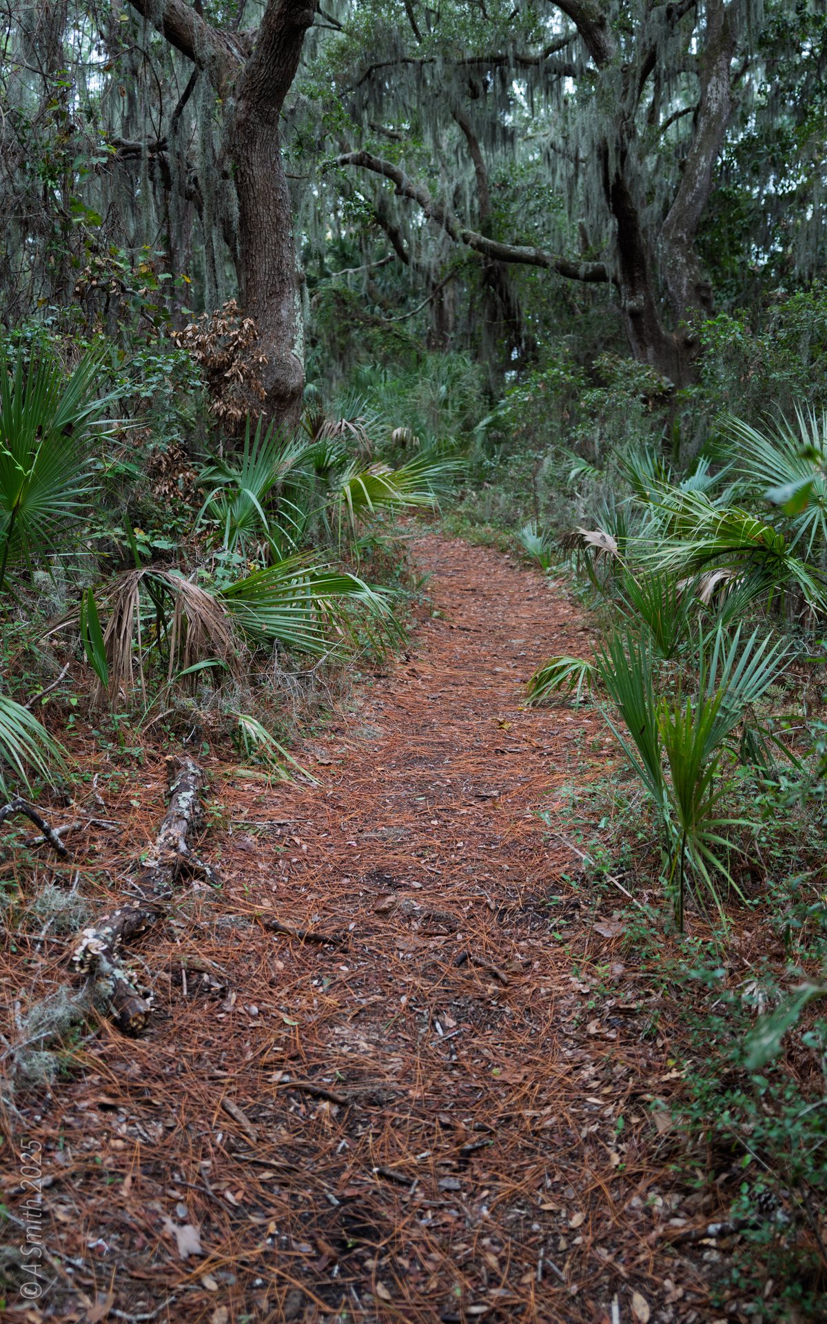
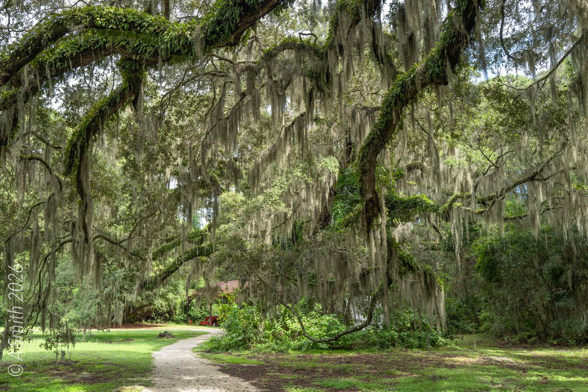
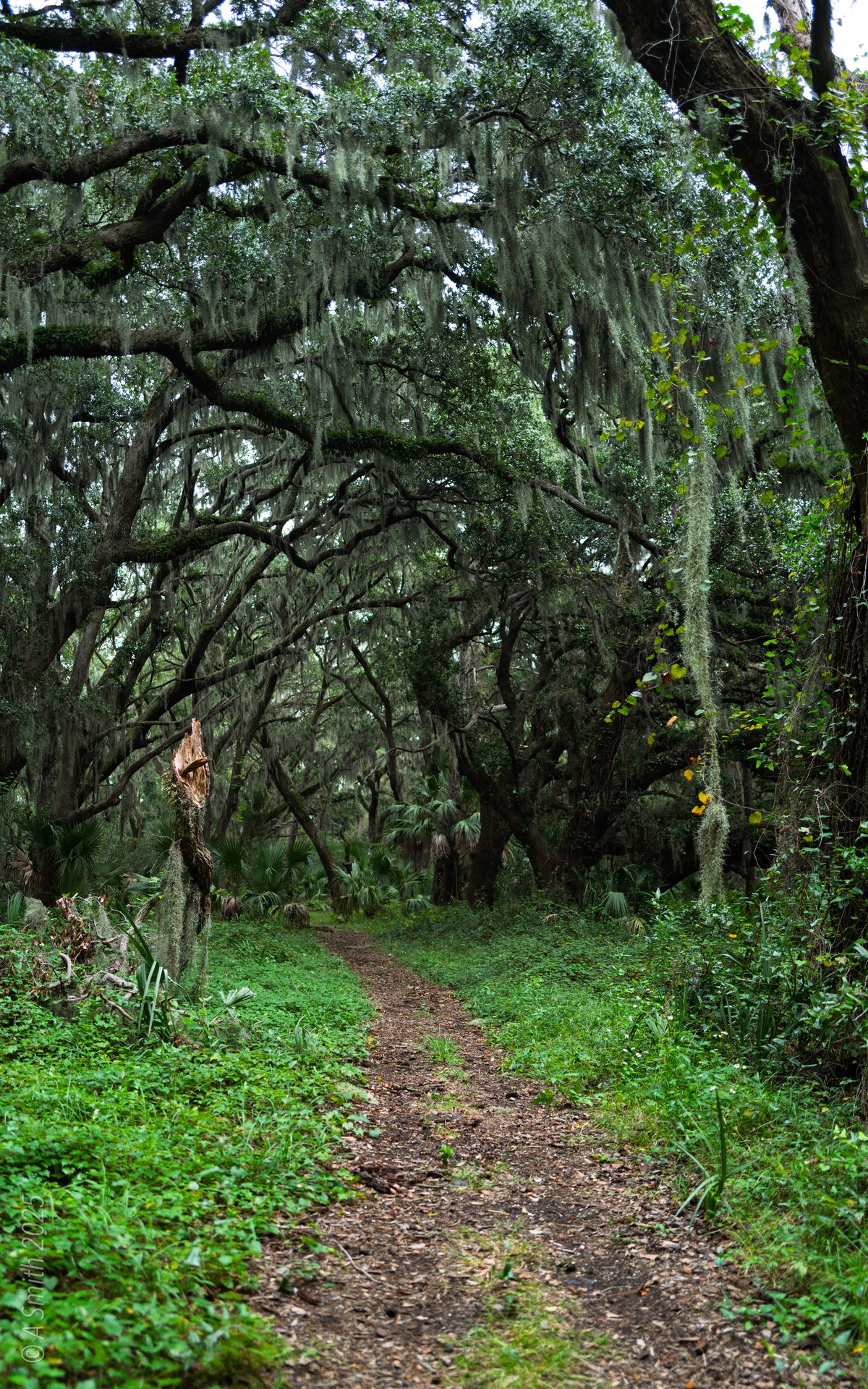
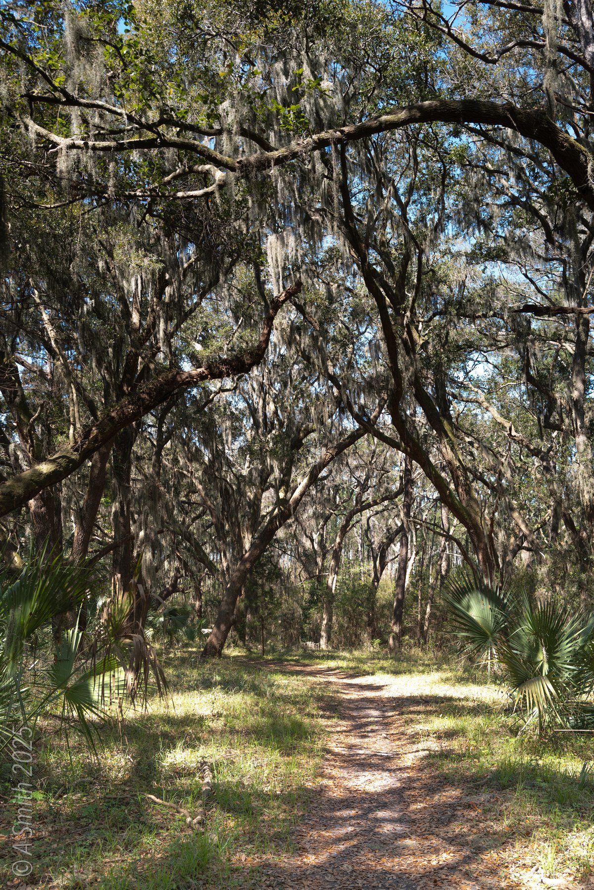
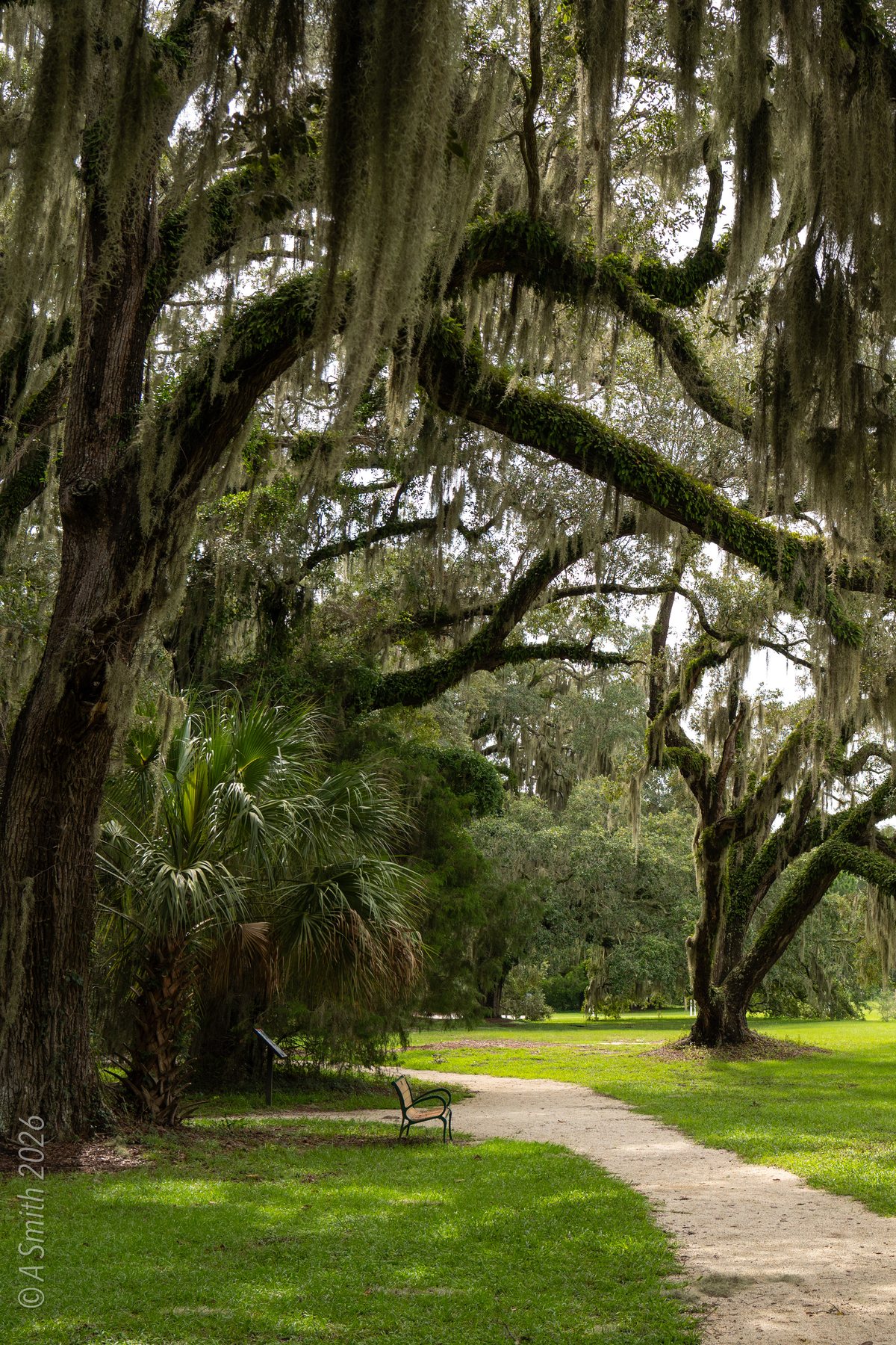
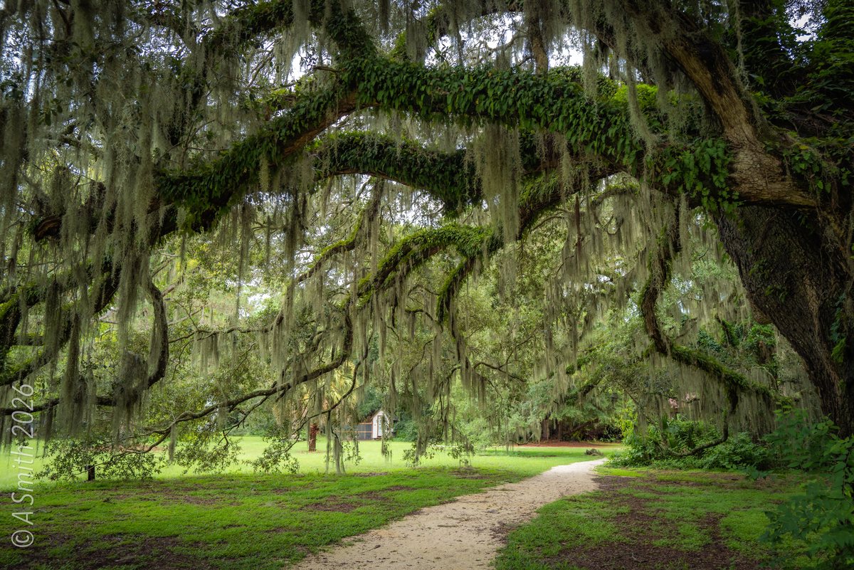
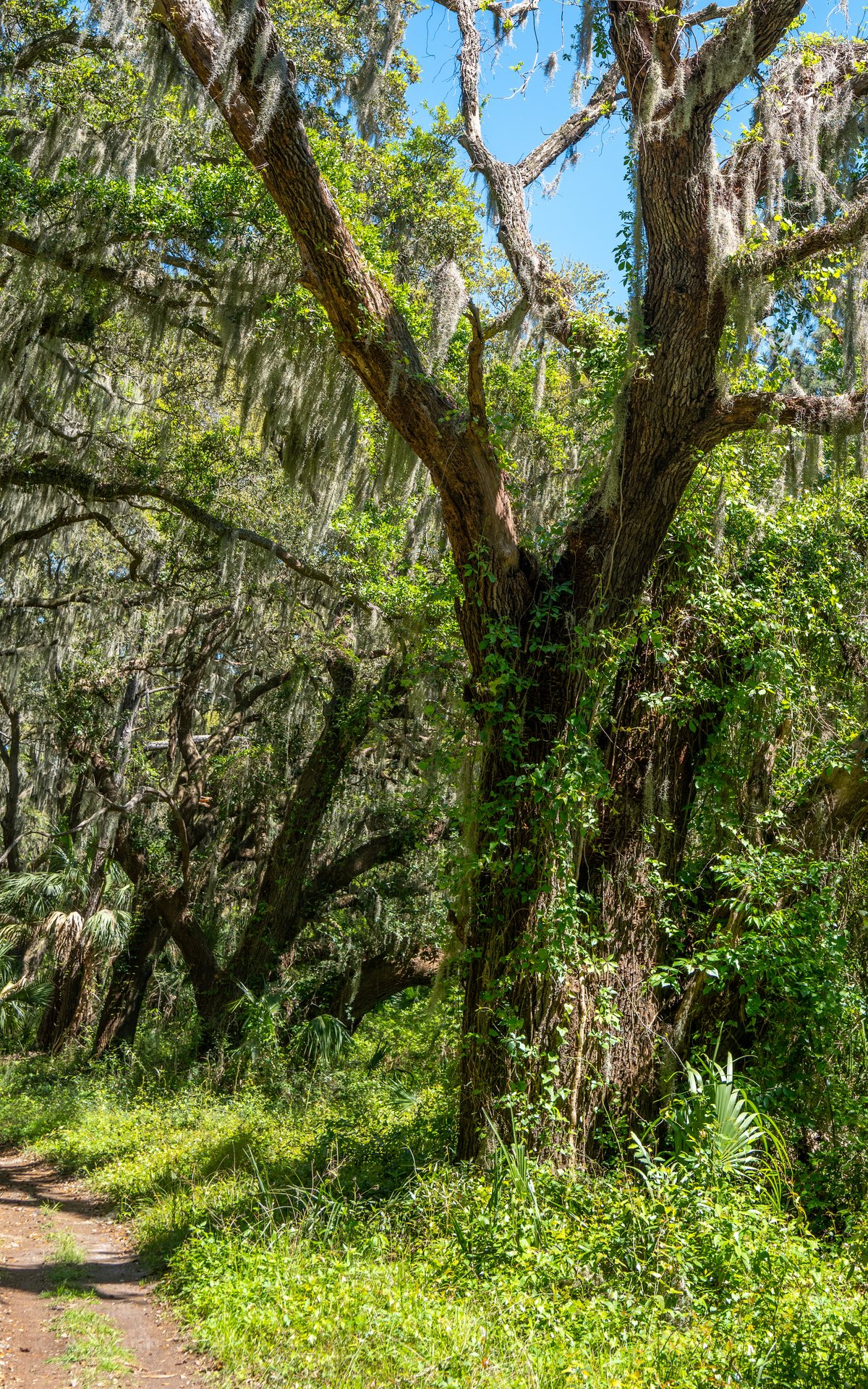
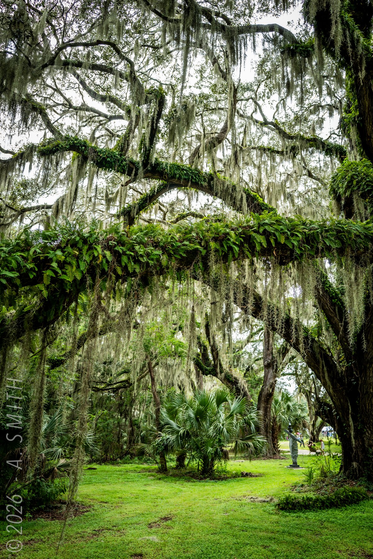
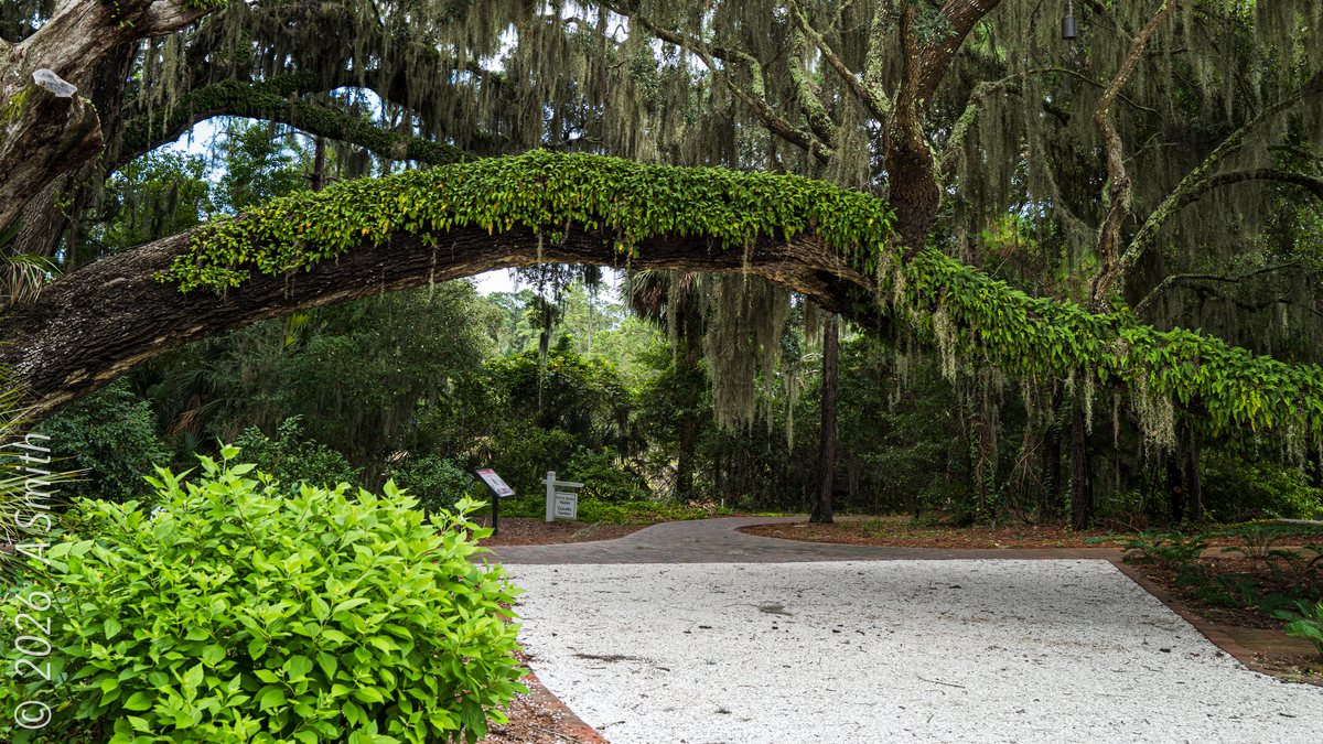
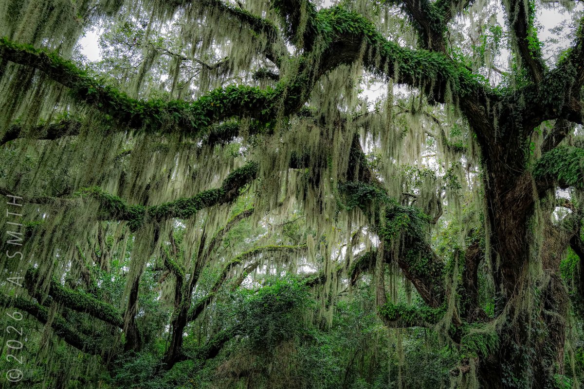
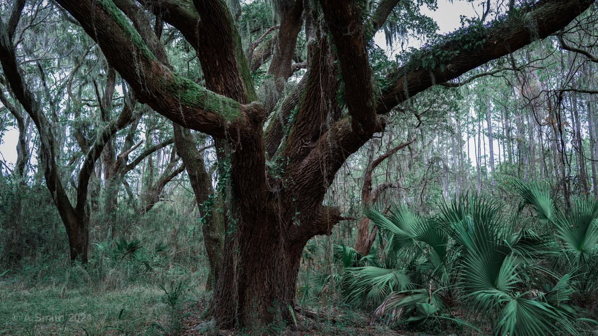
22 photos: 32,524 views on Google Maps — and counting.
Nearby Spots
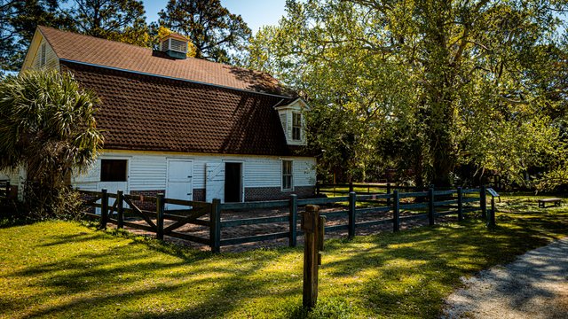
Coastal Discovery Museum
70 Honey Horn Drive, Hilton Head Island · 0.1 mi
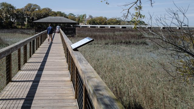
Oyster Alley Boardwalk
Honey Horn, Hilton Head Island · 0.1 mi
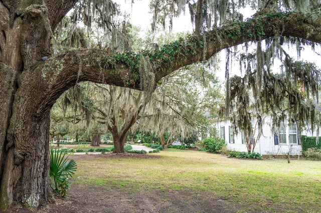
Honey Horn
70 Honey Horn Drive, Hilton Head Island · 0.1 mi
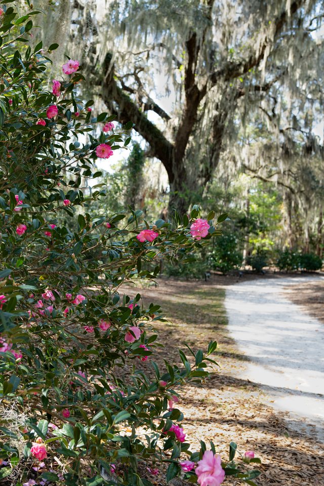
Manske Camellia Garden
Honey Horn, Hilton Head Island · 0.2 mi
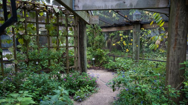
Karen Wertheimer Butterfly Habitat
Honey Horn, Hilton Head Island · 0.2 mi
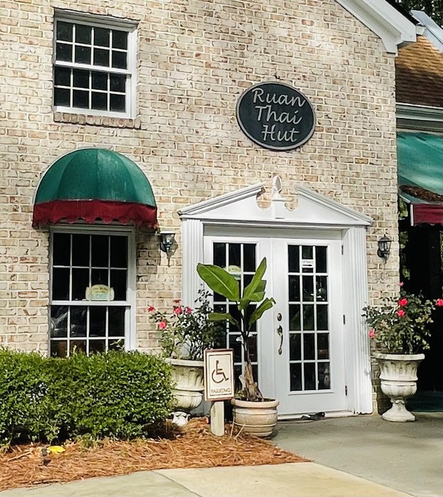
Ruan Thai Hut
Main Street Village, Hilton Head Island · 1.1 mi
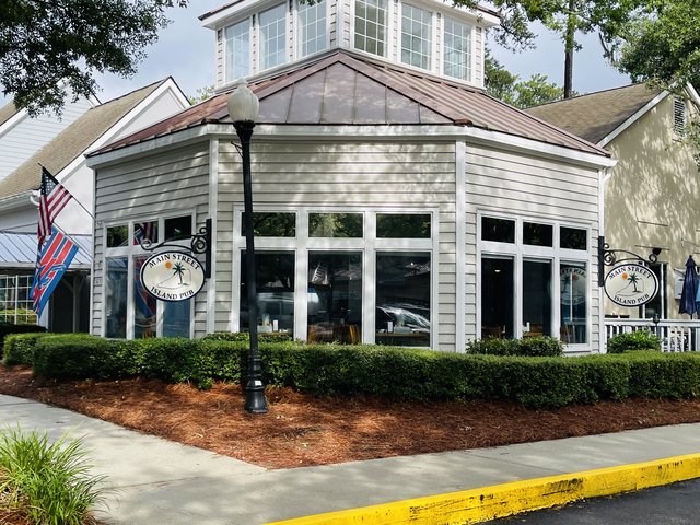
Main Street Island Pub
Main Street Village, Hilton Head Island · 1.2 mi
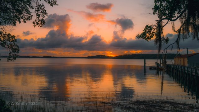
Pinckney Island
Off US 278, between Bluffton & Hilton Head Island · 1.8 mi
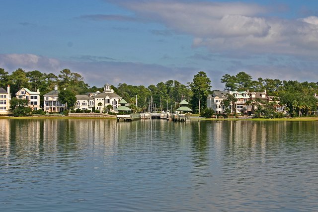
Windmill Harbour
North end, Hilton Head Island · Parks
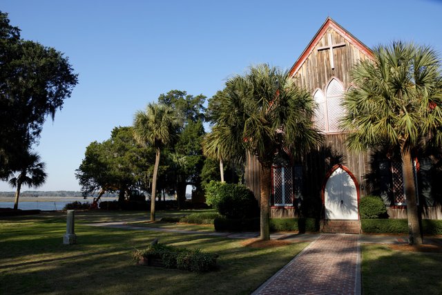
Church of the Cross
Calhoun Street, Old Town Bluffton · Parks
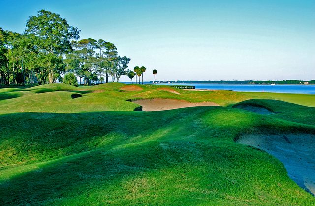
Daufuskie Island
Between Hilton Head & Savannah · By boat only · Parks
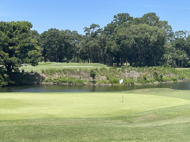
Hilton Head National Golf Club
Off US 278, Bluffton · Parks