Home › Parks › Beaufort › Beaufort Waterfront Park

Beaufort Waterfront Park

Downtown Beaufort, South Carolina
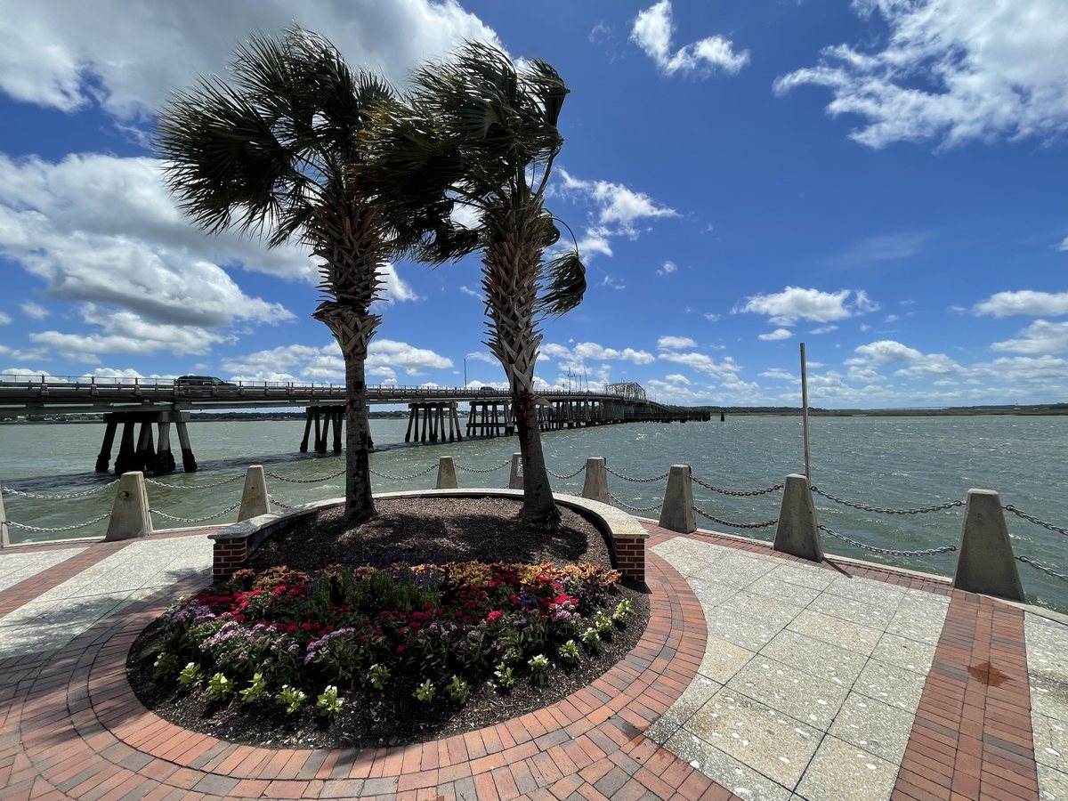
Two palms and the swing bridge. The promenade's point on the Beaufort River, the Woods Memorial Bridge behind — the most-viewed photo in this archive.

Two palms and the swing bridge. The promenade's point on the Beaufort River, the Woods Memorial Bridge behind — the most-viewed photo in this archive. 353,211 views on Google Maps · Photo taken May 2023
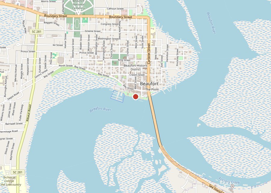
Map of Beaufort Waterfront Park on Hilton Head Island
Where it is. The pin is Henry C. Chambers Waterfront Park on the Beaufort River in downtown Beaufort, at the east end of Bay Street. Tap the map to open it in Google Maps. Map © OpenStreetMap contributors.
The promenade, teal and brick. Morning on the riverwalk. Under the bridge. Palms on the point. Chains and docks. Boats at rest. The marina side. The ivy wall. In black and white. Shade on the riverwalk.

Henry C. Chambers Waterfront Park is downtown Beaufort's front porch on the Beaufort River: a brick promenade with porch swings and bollards-and-chain railings, a marina in the middle, and the Woods Memorial swing bridge standing at the east end. The photo at the top of this page — two palms and the bridge — has been viewed 353,211 times on Google Maps, more than any other photo in this archive. Part of the Beaufort series, with the Spanish Moss Trail and Whitehall Park.

Key Takeaways

  • 11 photos, shot between 2023 and 2026: 428,993 views on Google Maps and counting.
  • The two-palm promenade shot leads the entire archive at 353,211 views.
  • Walk west for the marina and the pergola shade; the bridge end is the quiet end.
Tagged Features

The PromenadeBeaufort RiverThe MarinaSwing Bridge
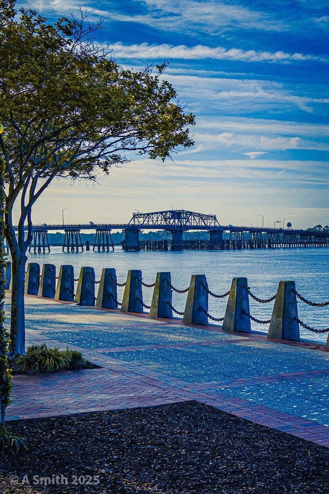
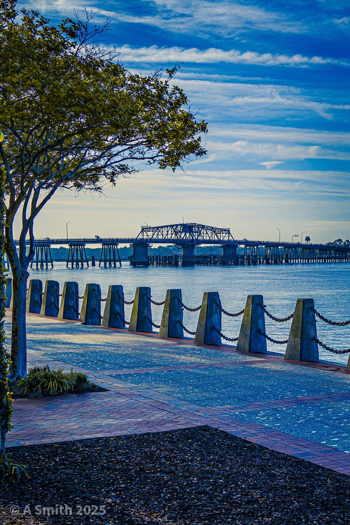
The promenade, teal and brick. The riverwalk running west from the park, the swing bridge low on the horizon.
The promenade, teal and brick. The riverwalk running west from the park, the swing bridge low on the horizon. 65,810 views on Google Maps · Photo taken Apr 2025
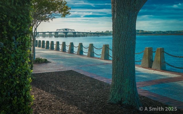
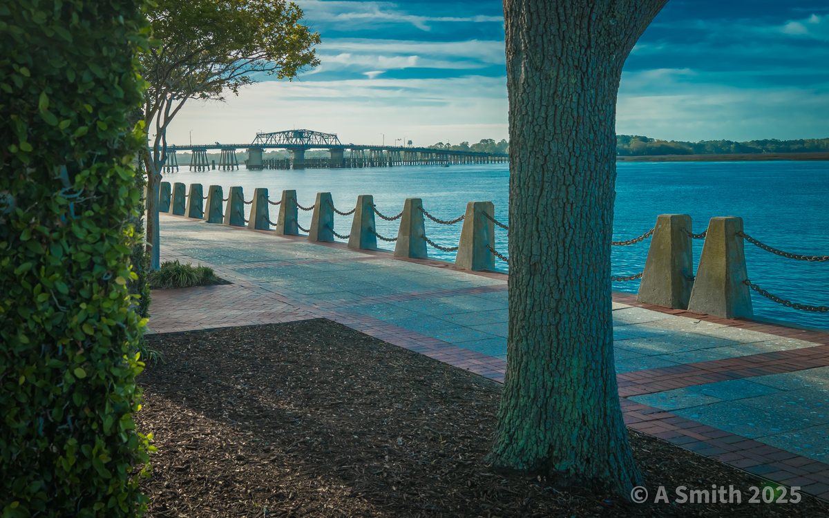
Morning on the riverwalk. Bollards and chain along the water, the bridge showing through the trees.
Morning on the riverwalk. Bollards and chain along the water, the bridge showing through the trees. 9,190 views on Google Maps · Photo taken Apr 2025
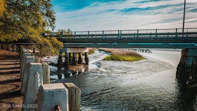
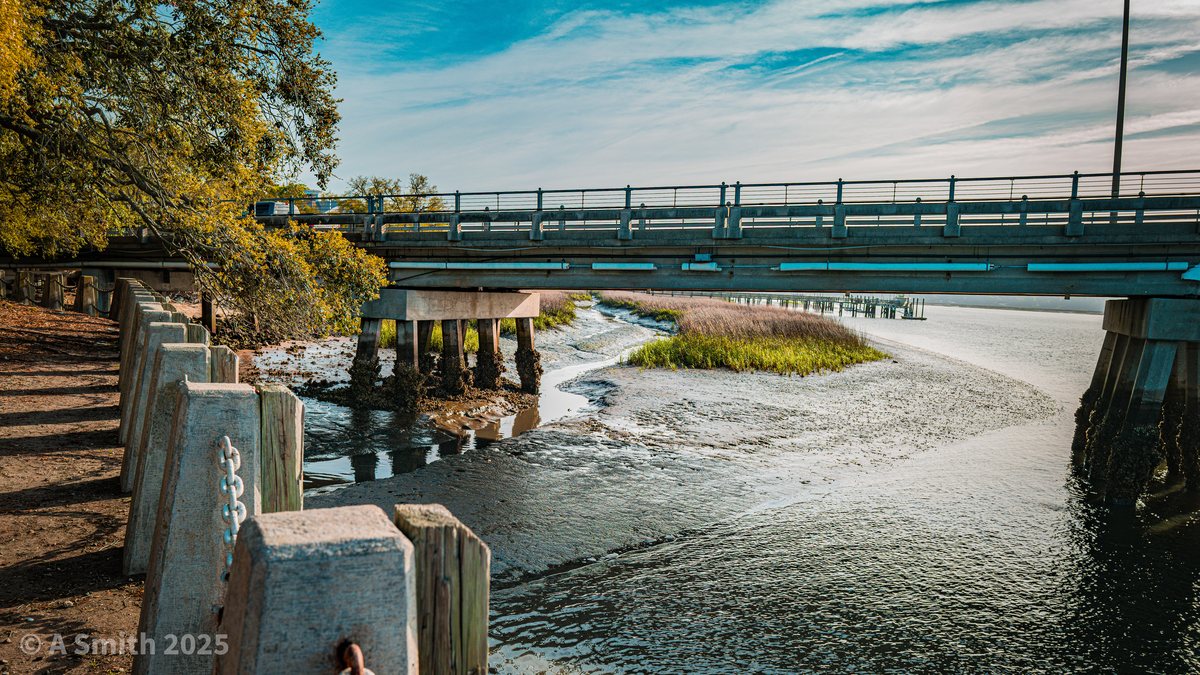
Under the bridge. The river sliding past the pilings where the promenade meets the bridge.
Under the bridge. The river sliding past the pilings where the promenade meets the bridge. 546 views on Google Maps · Photo taken Apr 2025
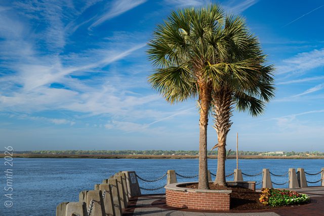
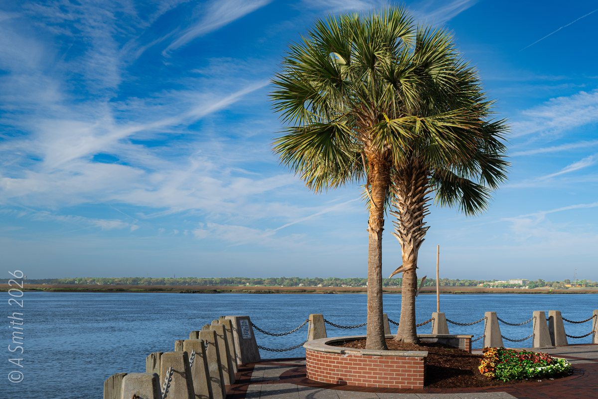
Palms on the point. The promenade's palm pair under streaked September skies.
Palms on the point. The promenade's palm pair under streaked September skies. 215 views on Google Maps · Photo taken Sep 2026
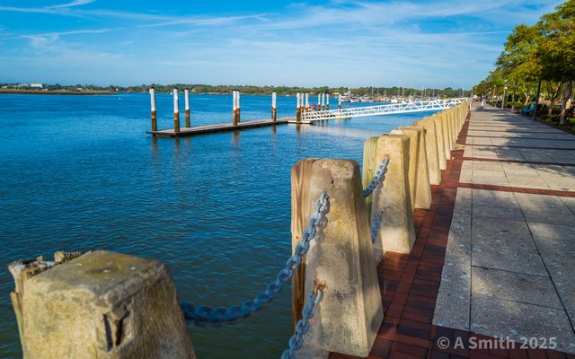
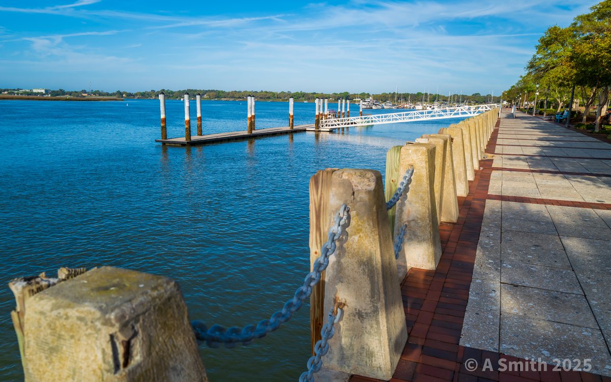
Chains and docks. The promenade railing up close, the marina docks spread out beyond.
Chains and docks. The promenade railing up close, the marina docks spread out beyond. 21 views on Google Maps · Photo taken Apr 2025
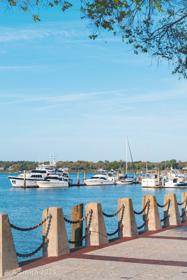
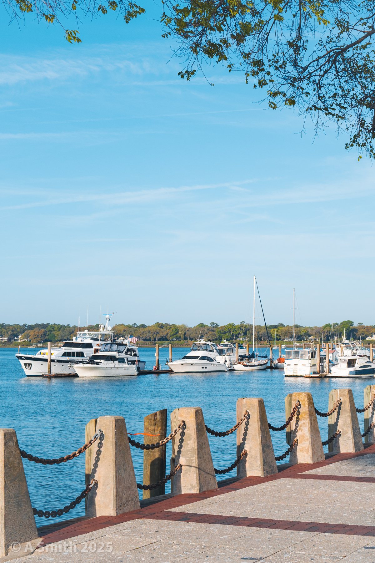
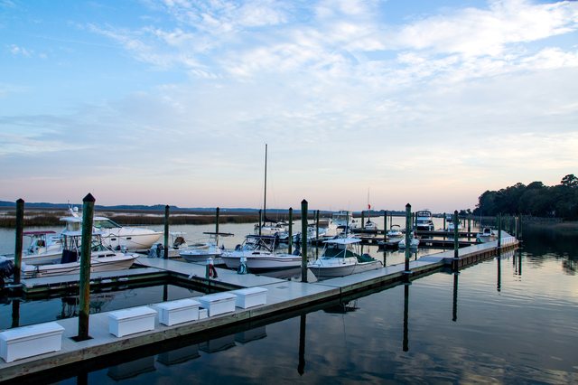
Boats at rest. The marina fleet seen from the promenade railing.
Boats at rest. The marina fleet seen from the promenade railing. · Photo taken Apr 2025
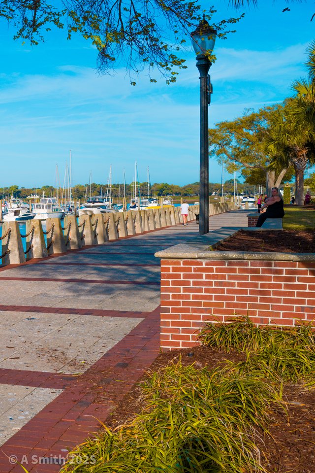
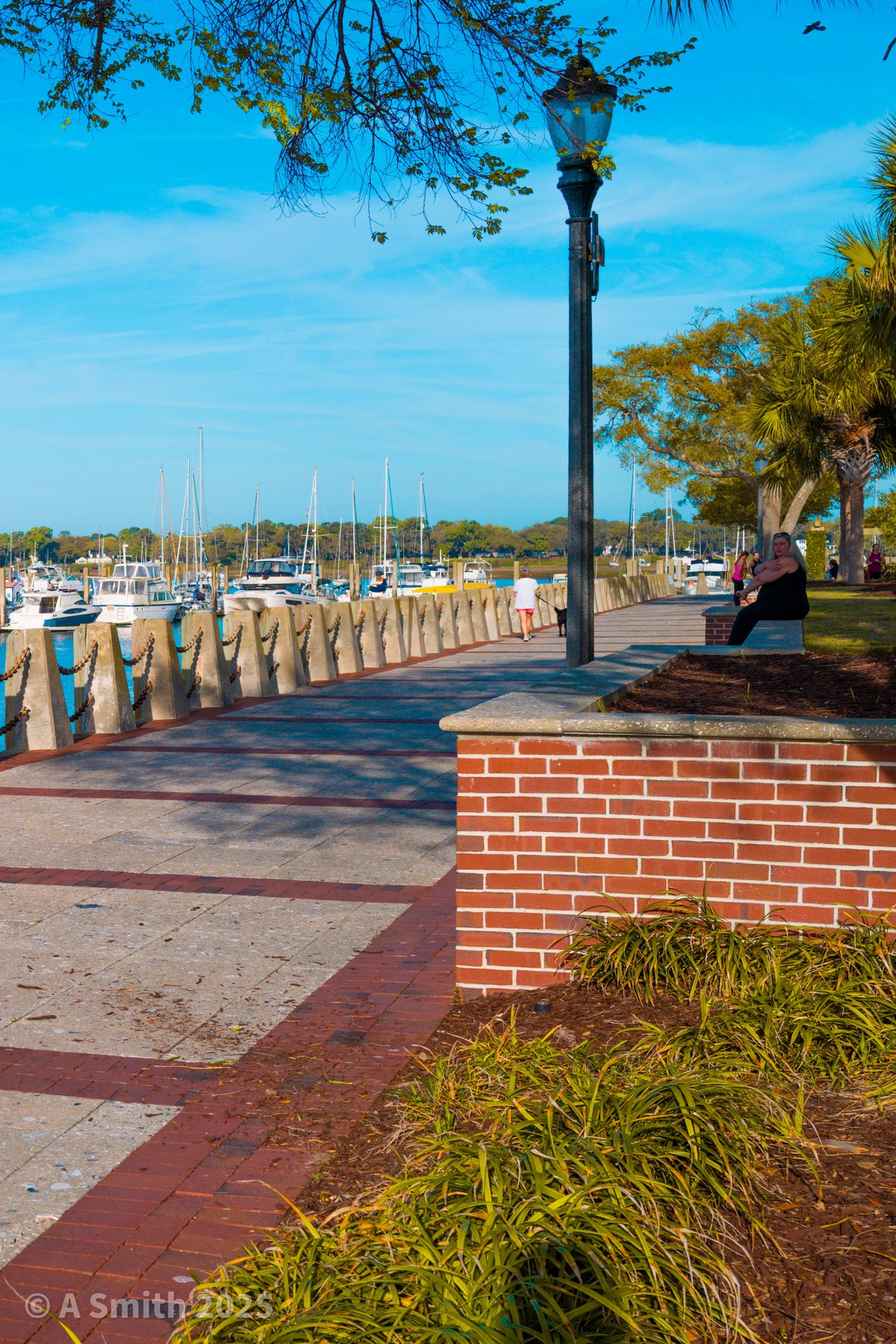
The marina side. Lamppost and brickwork where the promenade passes the marina.
The marina side. Lamppost and brickwork where the promenade passes the marina. · Photo taken Apr 2025
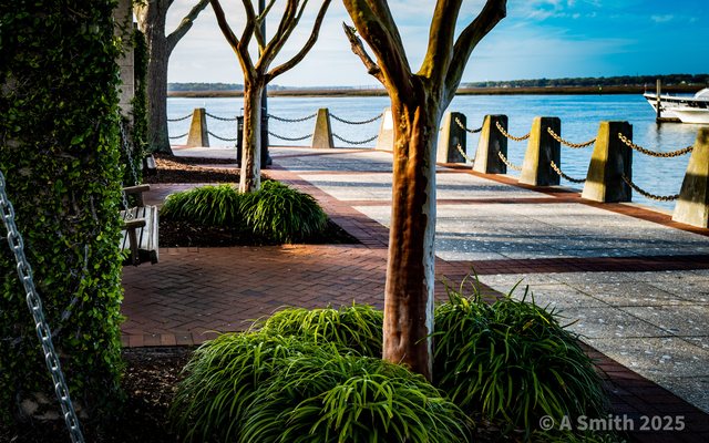
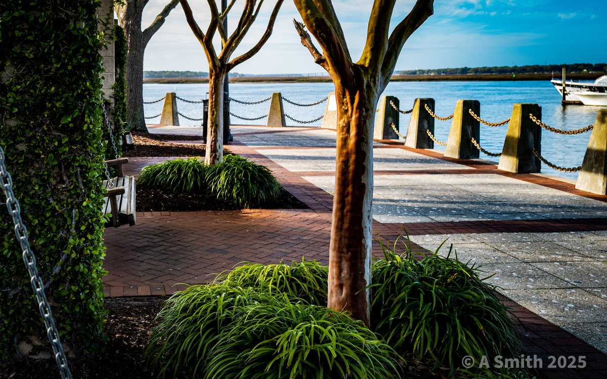
The ivy wall. Crepe myrtles and an ivy-covered wall along the promenade's edge.
The ivy wall. Crepe myrtles and an ivy-covered wall along the promenade's edge. · Photo taken Apr 2025
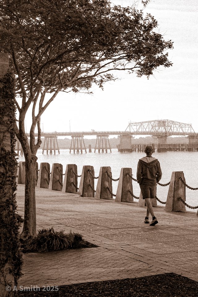
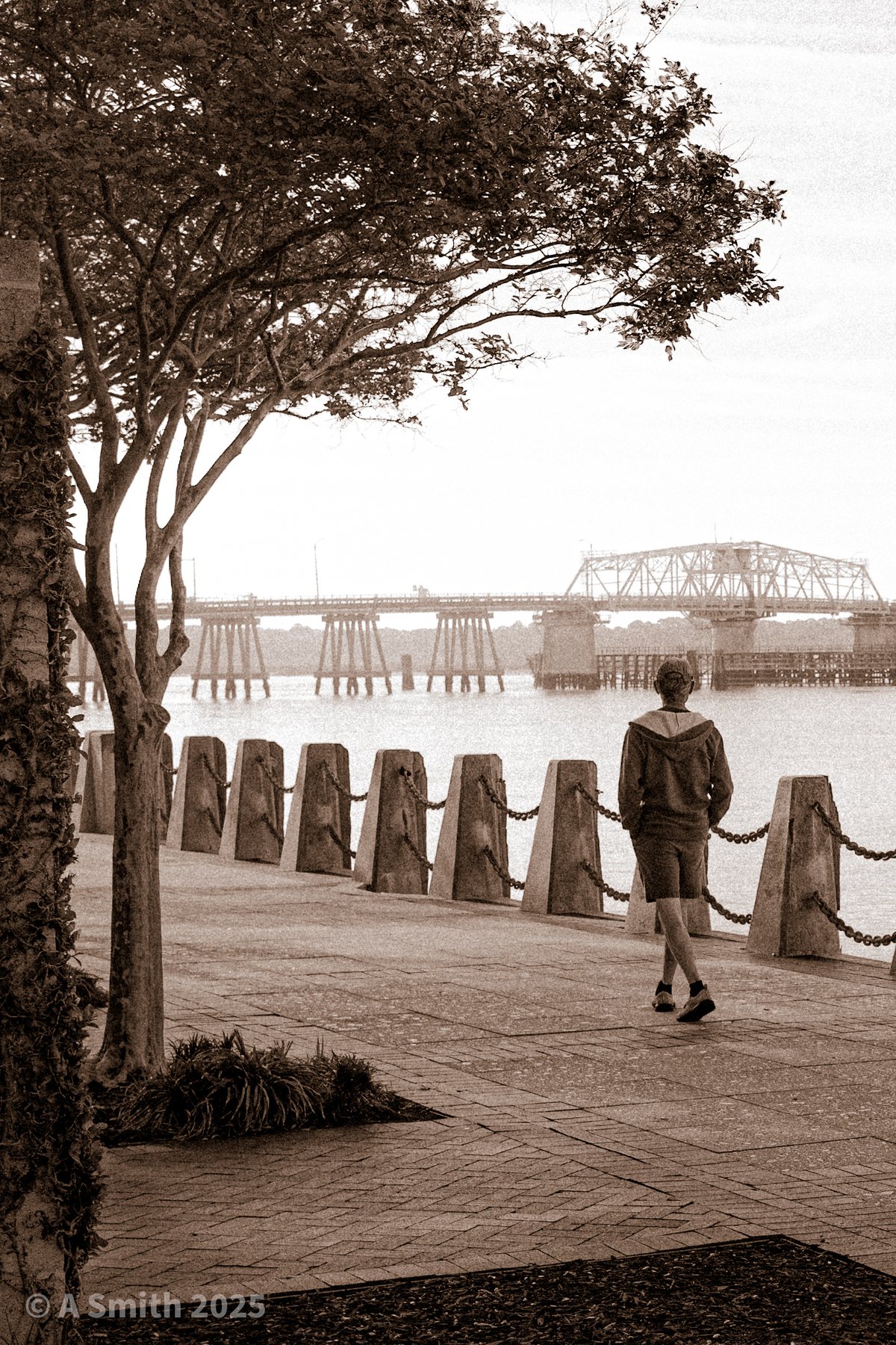
In black and white. A lone walker on the promenade, the bridge fading behind.
In black and white. A lone walker on the promenade, the bridge fading behind. · Photo taken Apr 2025
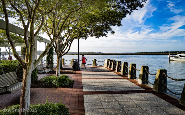
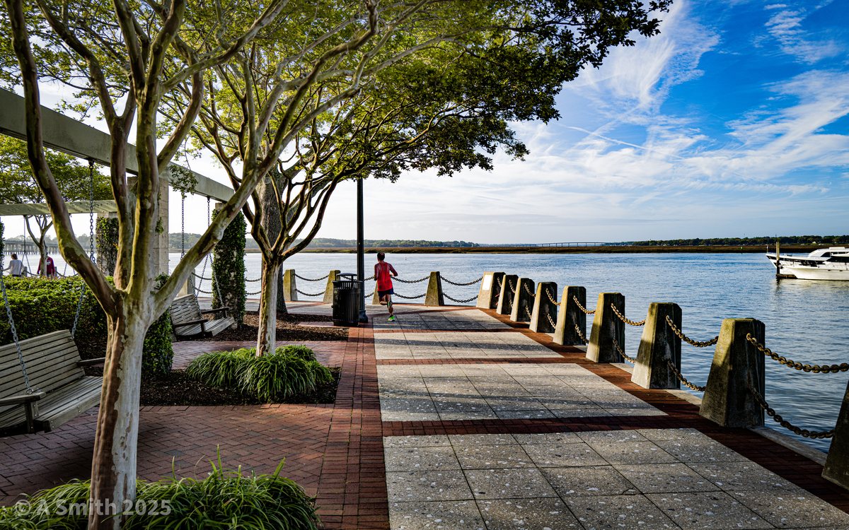
Shade on the riverwalk. The pergola stretch — benches, swings and shade facing the river.
Shade on the riverwalk. The pergola stretch — benches, swings and shade facing the river. · Photo taken Apr 2025
See Beaufort Waterfront Park on Google Maps

11 photos: 428,993 views on Google Maps — and counting.

Home › Parks › Beaufort › Beaufort Waterfront Park

Browse by subject

Marsh & Water (20) Beaches (10) Gardens & Flowers (8) Historic (5) Golf (5) Sunrises (4) Birds & Wildlife (4)