Home › Parks › Beaufort › Whitehall Park

Whitehall Park

Beaufort, South Carolina
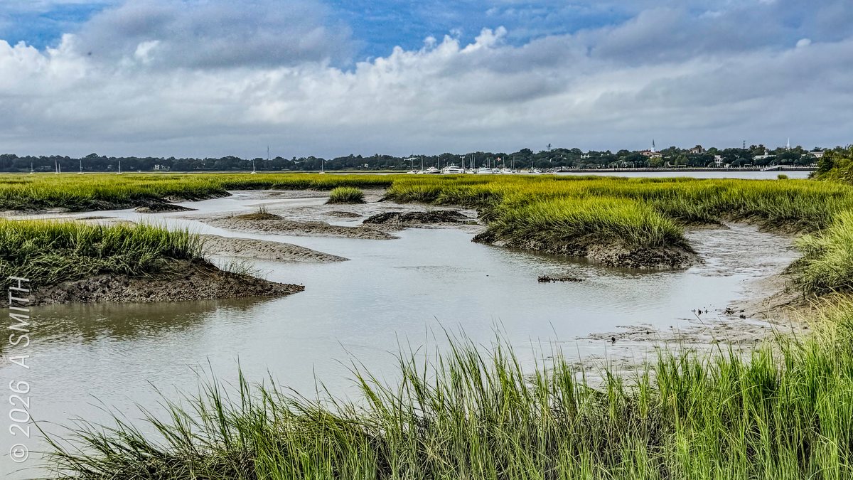
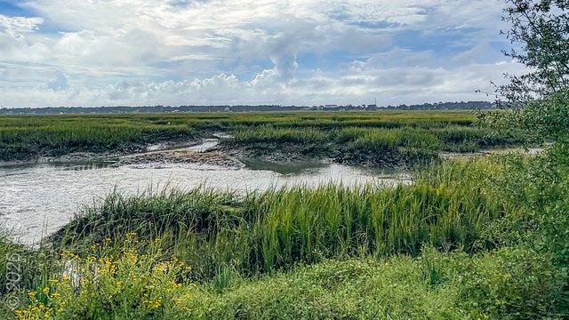
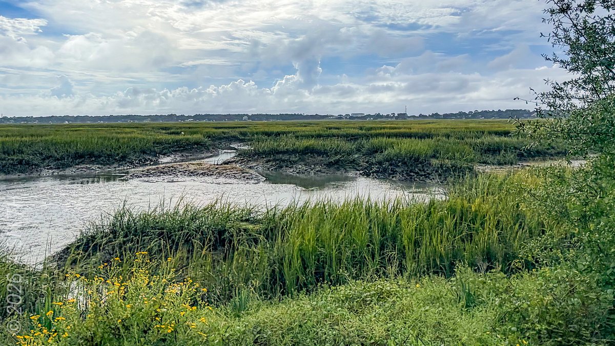
The tidal creek. Marsh channels braiding through the cordgrass at low water.

The tidal creek. Marsh channels braiding through the cordgrass at low water. 18 views on Google Maps · Photo taken Oct 2026
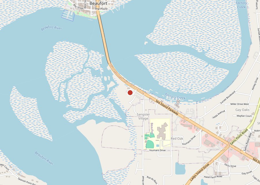
Map of Whitehall Park on Hilton Head Island
Where it is. The pin is Whitehall Park on the Beaufort River, east of downtown Beaufort. Tap the map to open it in Google Maps. Map © OpenStreetMap contributors.
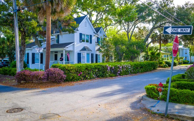
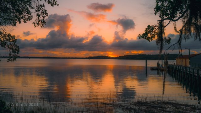
Under the moss. Open marsh. The park green. The walkway. The winding path. The fishing pier. Palm and sky. The boardwalk.

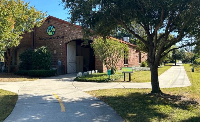
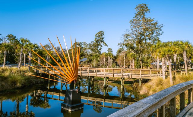
Whitehall Park is a small riverfront park east of downtown Beaufort: a boardwalk and fishing pier reaching over a tidal marsh, paved paths under big live oaks, and a ramp the archive's own caption calls the connecting ramp to the bridge. Every photo on this page was shot on one October morning in 2026, which is why the view counts are only just getting started. Part of the Beaufort series, with Waterfront Park and the Spanish Moss Trail.

Key Takeaways

  • 9 photos, all shot in October 2026: 44 views on Google Maps — brand new, and counting.
  • The boardwalk puts you out over the marsh at eye level with the cordgrass.
  • Whitehall is the quiet one of Beaufort's three parks in this archive.
Tagged Features

The BoardwalkFishing PierTidal MarshLive Oaks
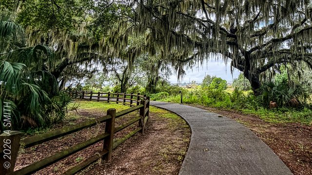
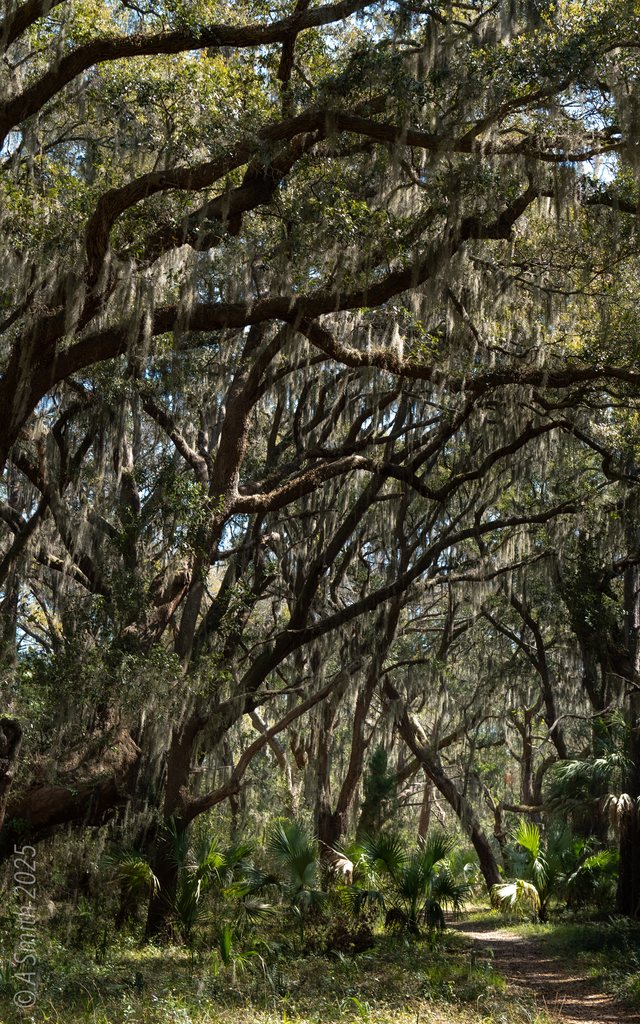
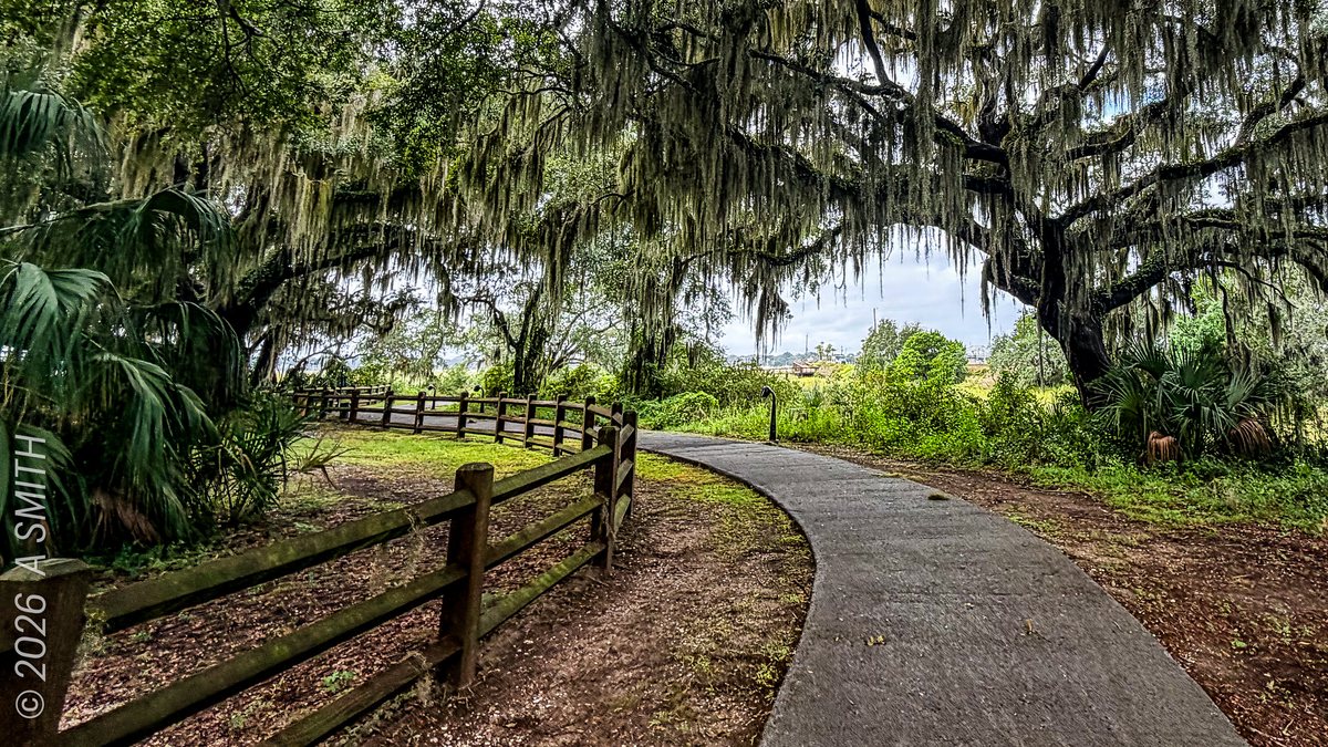
Under the moss. The path curving beneath Whitehall's big live oaks.
Under the moss. The path curving beneath Whitehall's big live oaks. 14 views on Google Maps · Photo taken Oct 2026
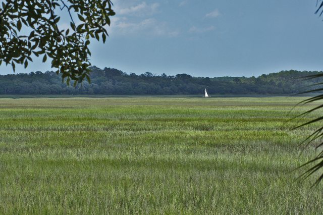
Open marsh. Creek and cordgrass under a wide October sky.
Open marsh. Creek and cordgrass under a wide October sky. 12 views on Google Maps · Photo taken Oct 2026
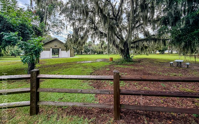
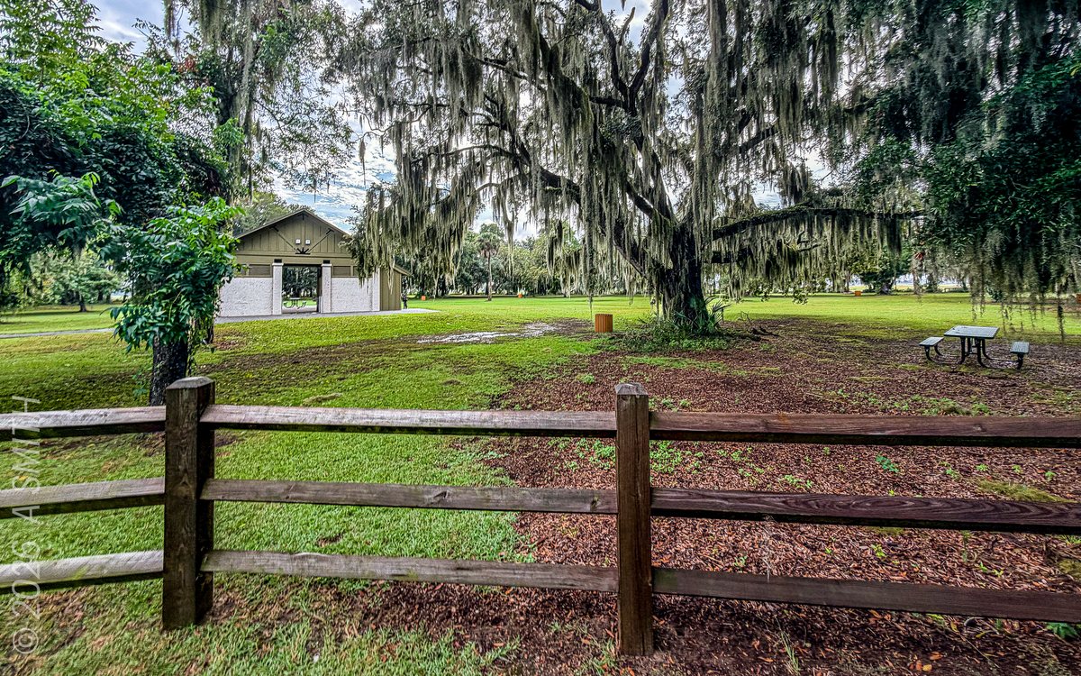
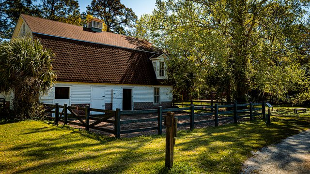
The park green. Lawn, split-rail fence and the little park building under the oaks.
The park green. Lawn, split-rail fence and the little park building under the oaks. · Photo taken Oct 2026
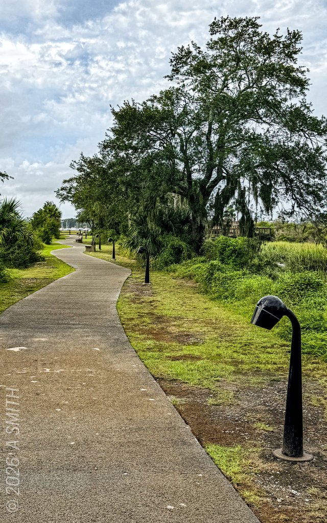
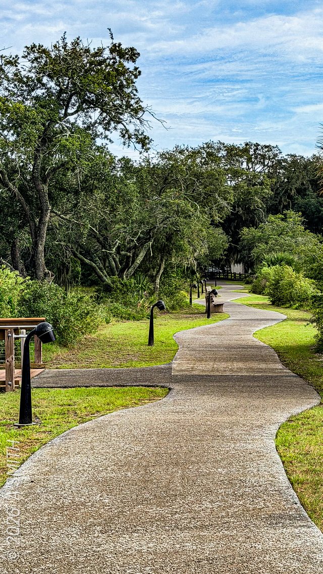
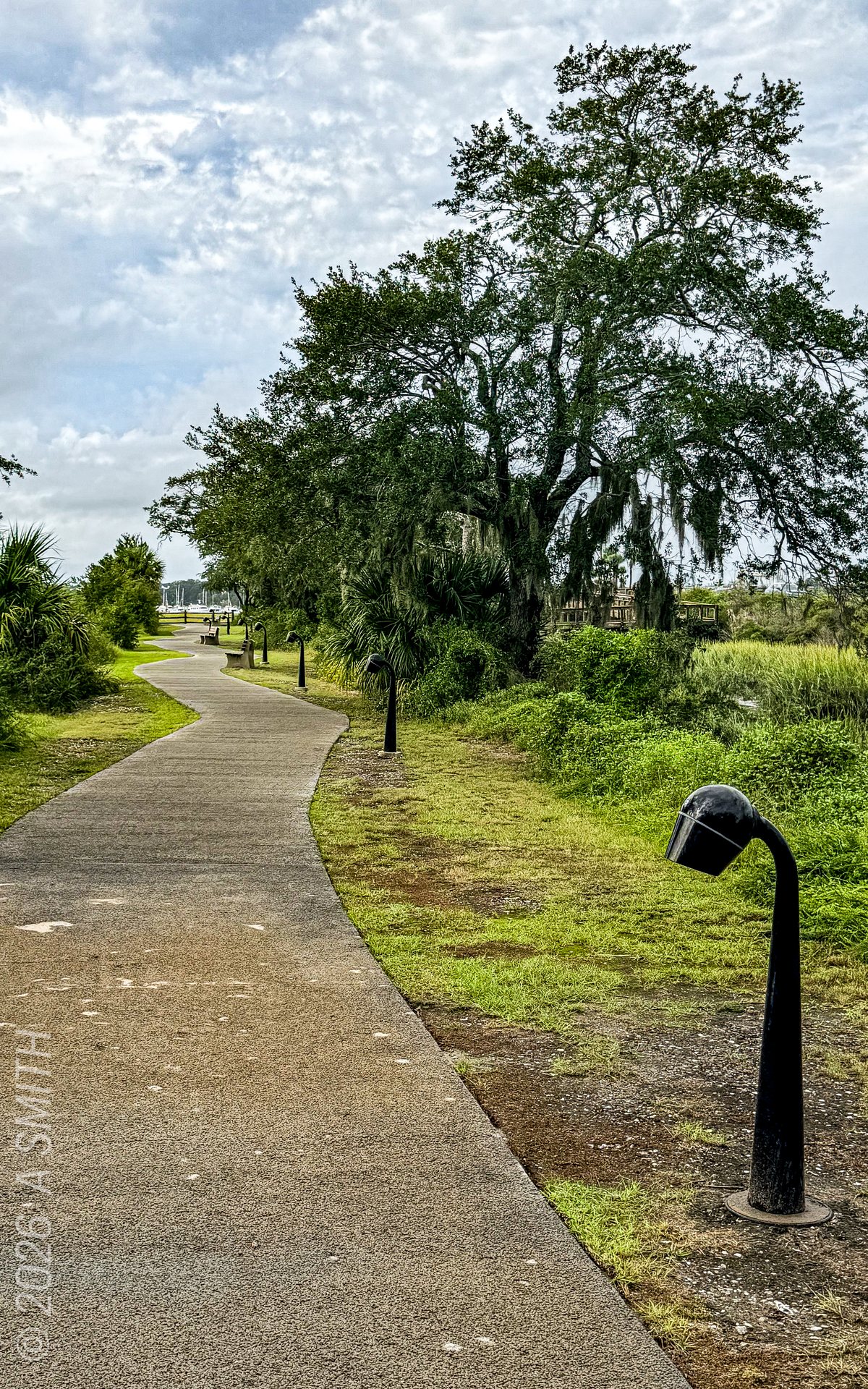
The walkway. Paved path and lampposts along the grass.
The walkway. Paved path and lampposts along the grass. · Photo taken Oct 2026
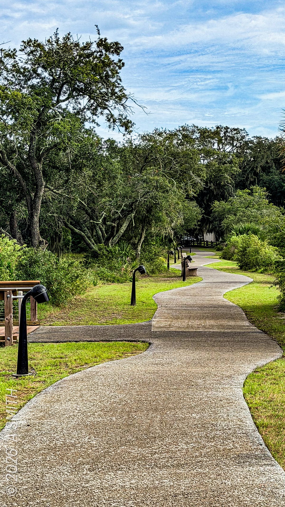
The winding path. The walkway bending through the trees toward the water.
The winding path. The walkway bending through the trees toward the water. · Photo taken Oct 2026
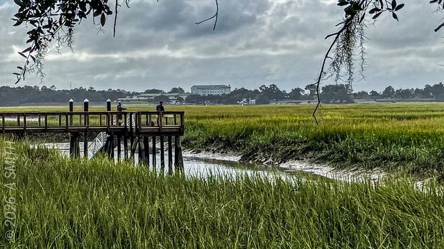
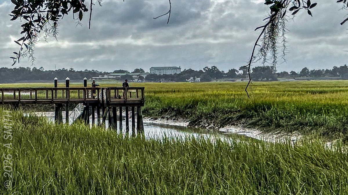
The fishing pier. A wooden pier reaching out over the marsh grass.
The fishing pier. A wooden pier reaching out over the marsh grass. · Photo taken Oct 2026
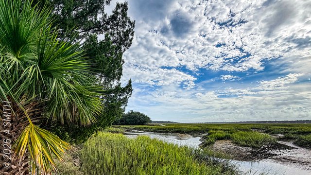
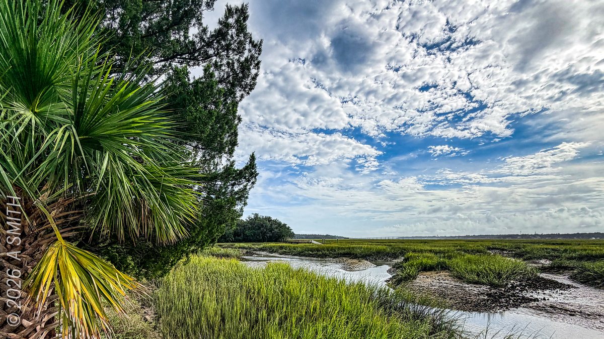
Palm and sky. A palmetto leaning over the creek flats.
Palm and sky. A palmetto leaning over the creek flats. · Photo taken Oct 2026
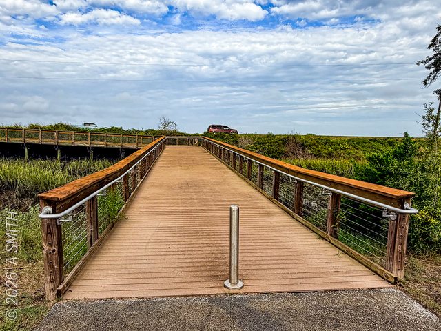
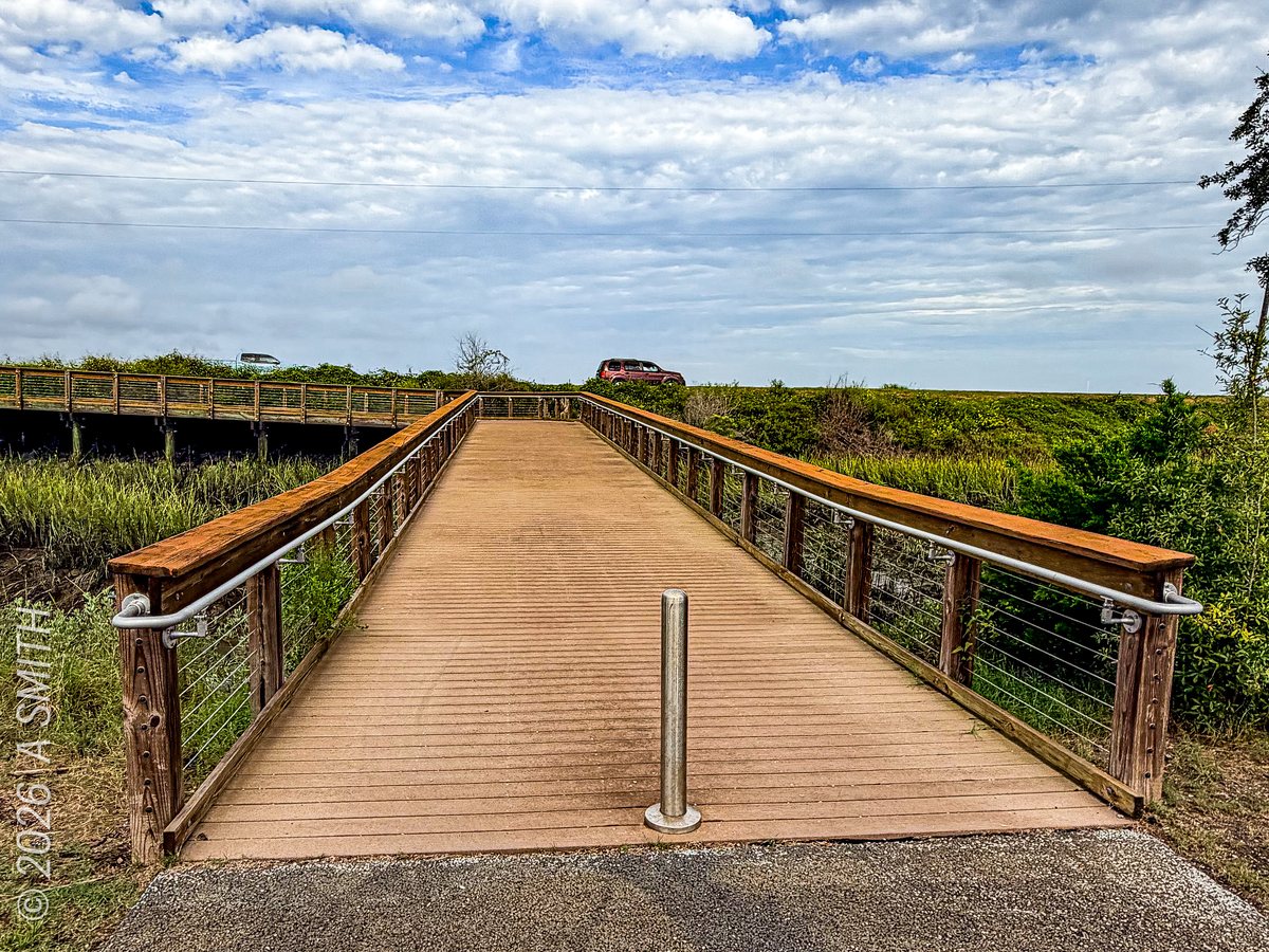
The boardwalk. The ramp running out over the marsh — the archive's own caption calls it the connecting ramp to the bridge.
The boardwalk. The ramp running out over the marsh — the archive's own caption calls it the connecting ramp to the bridge. · Photo taken Oct 2026
See Whitehall Park on Google Maps

9 photos: 44 views on Google Maps — and counting.

Home › Parks › Beaufort › Whitehall Park

Browse by subject

Marsh & Water (20) Beaches (10) Gardens & Flowers (8) Historic (5) Golf (5) Sunrises (4) Birds & Wildlife (4)