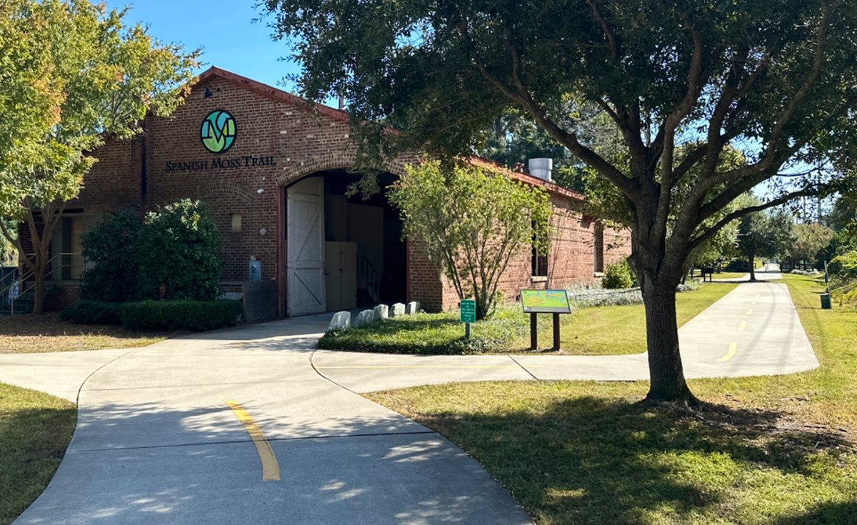
The old depot. The brick trailhead building in Beaufort, wearing the trail's green logo — the northern start of the Spanish Moss Trail. 45,954 views on Google Maps · Photo taken Oct 2025
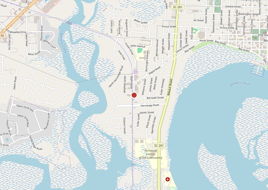
Best For: Ten miles of old rail line — a brick depot, boardwalks and a fishing pier
The Archive: 20 photos · 90,296 views on Google Maps
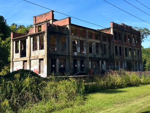
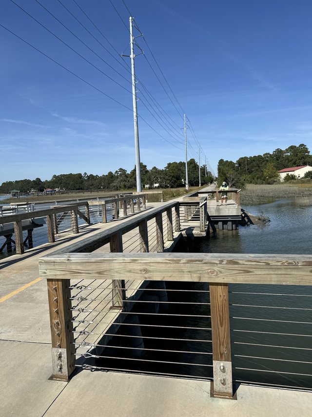
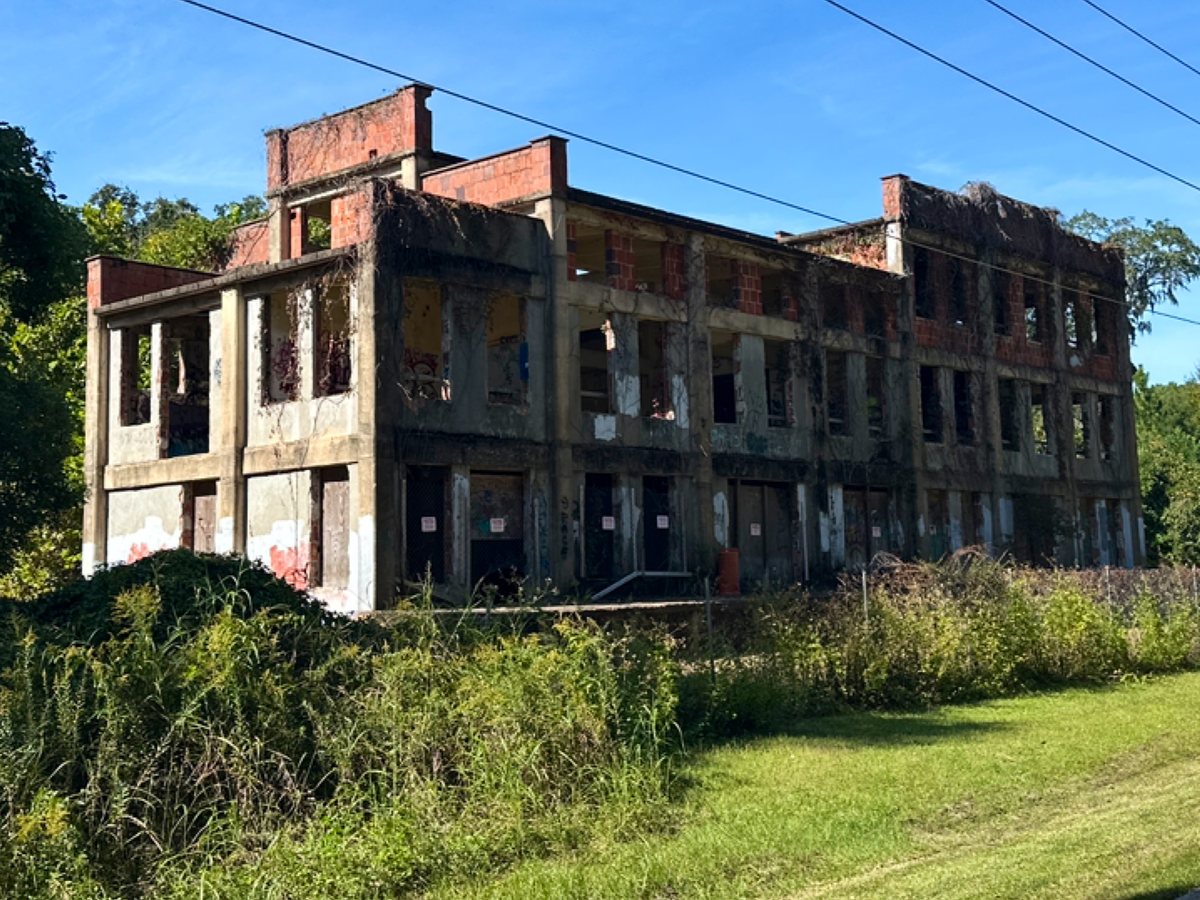
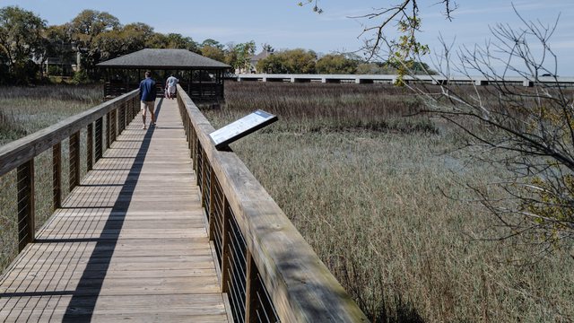
The Spanish Moss Trail is a ten-mile rail trail between Beaufort and Port Royal, built on the old Magnolia Line rail bed — paved, flat, and strung with boardwalks and a long fishing pier over the marsh creeks. It starts at a brick depot in Beaufort and passes one memorable oddity: a burned-out brick ruin standing in the trees. Every photo here was shot in a single October 2025 ride. The depot photo at the top of this page has been viewed 45,954 times on Google Maps. Part of the Beaufort series, with Waterfront Park and Whitehall Park.
Key Takeaways
20 photos, all shot in October 2025: 90,296 views on Google Maps and counting.
The trail follows a Civil War-era rail bed — that is why it runs so straight and flat.
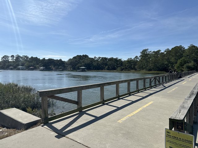
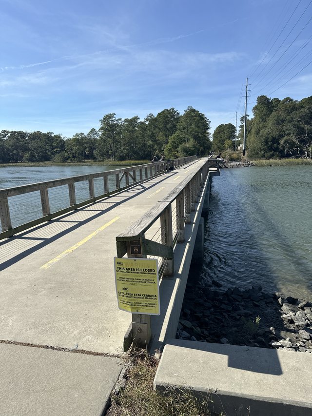
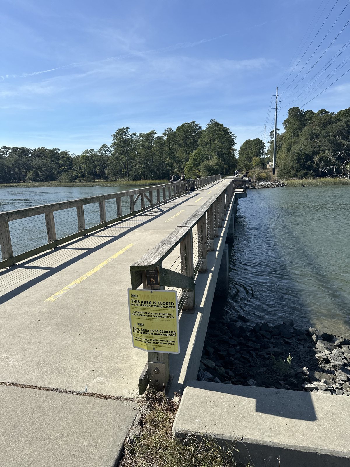
The fishing pier's far end was posted closed the day these were shot; the boardwalk run is the consolation prize.
Tagged Features
The DepotFishing PierBoardwalksThe Marsh
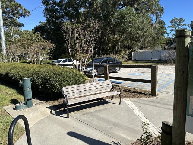
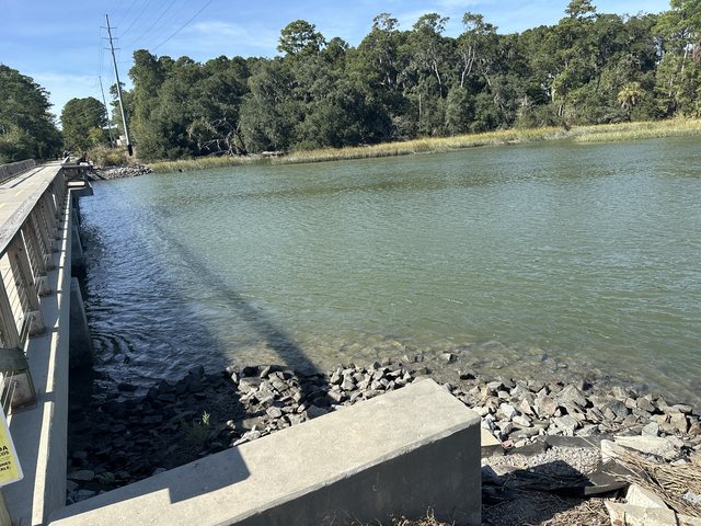
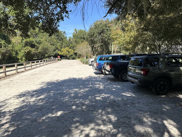
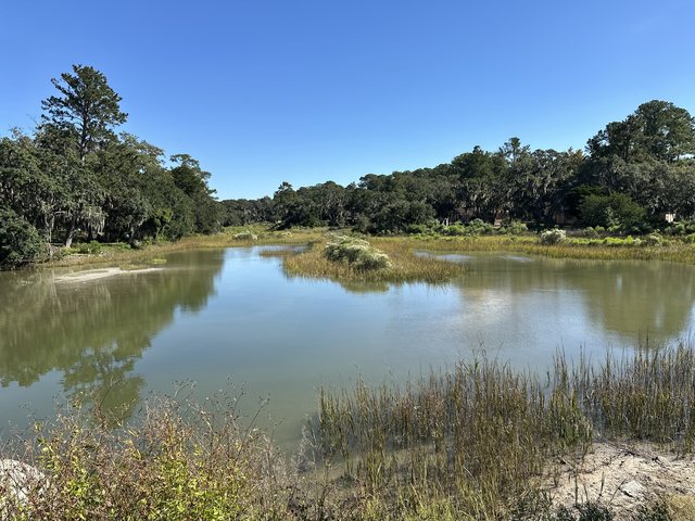
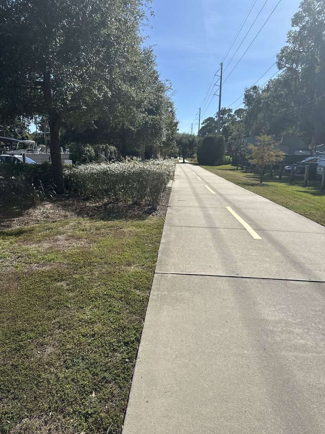
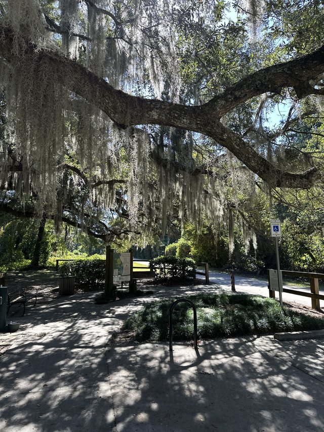
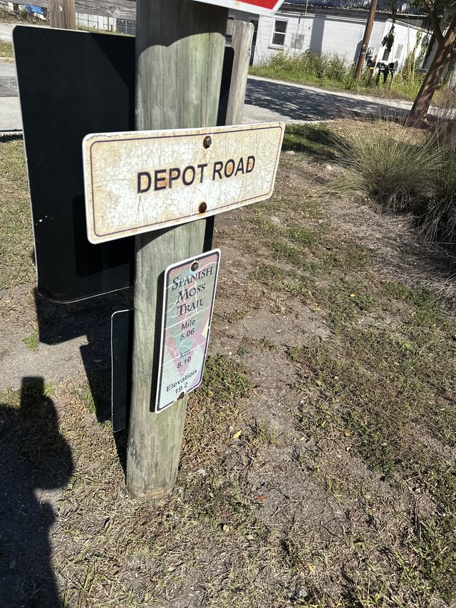
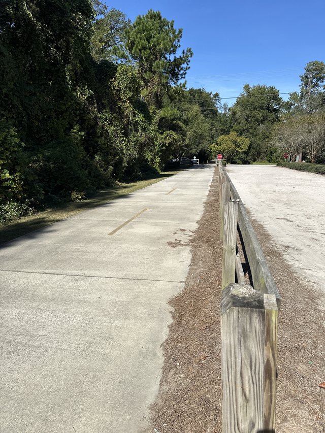
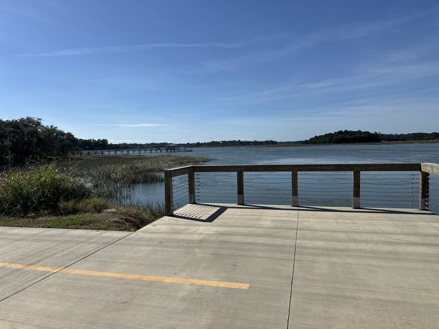
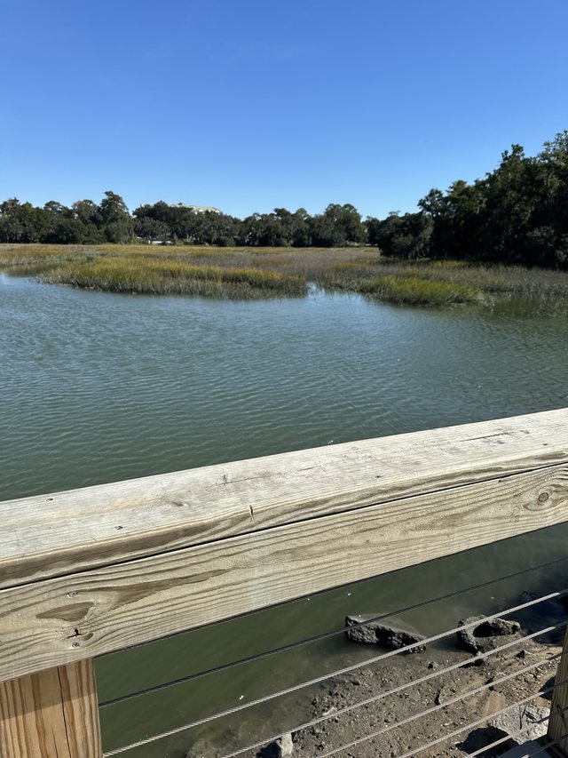
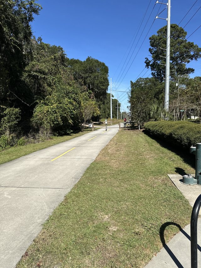
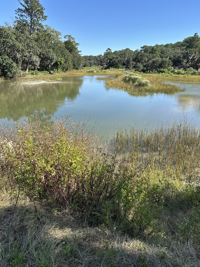
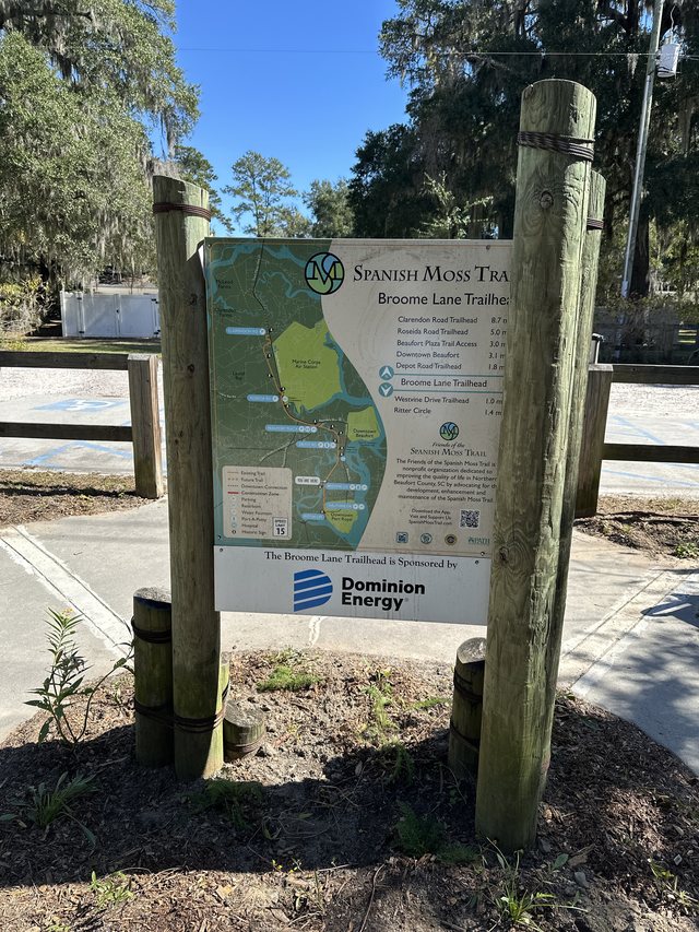
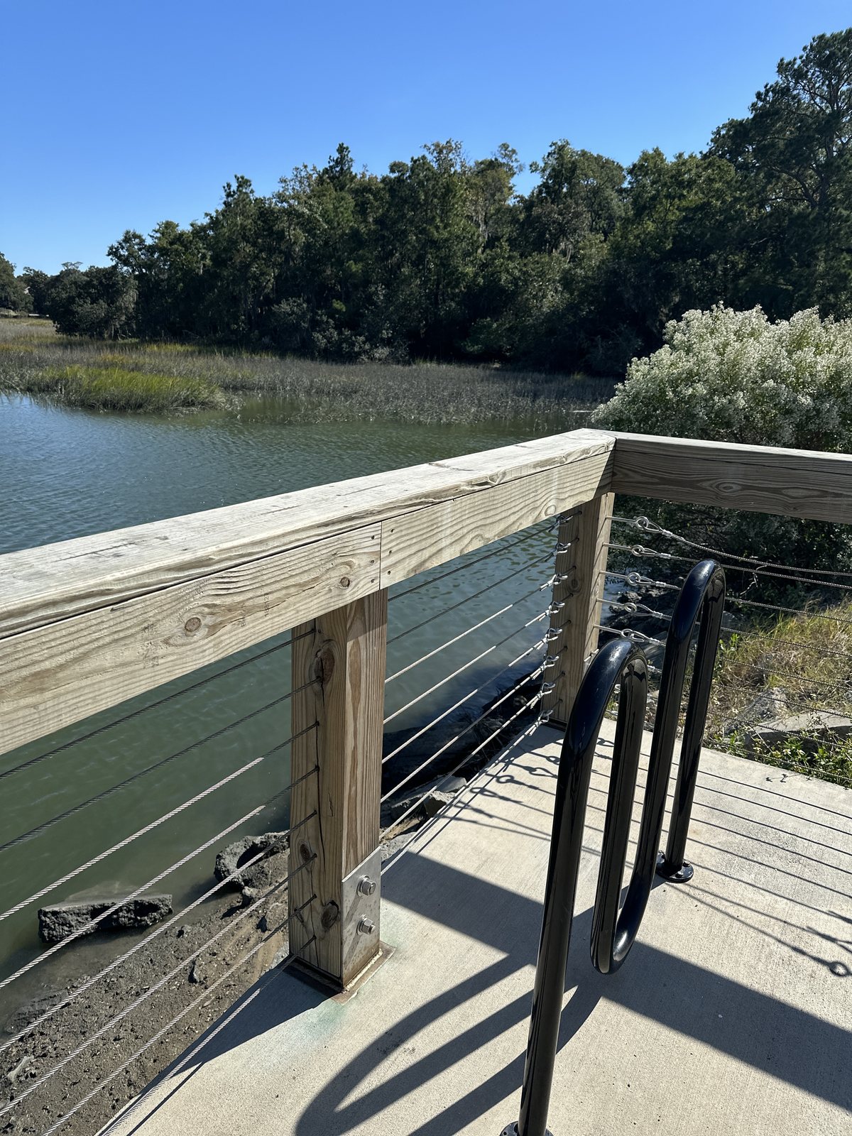
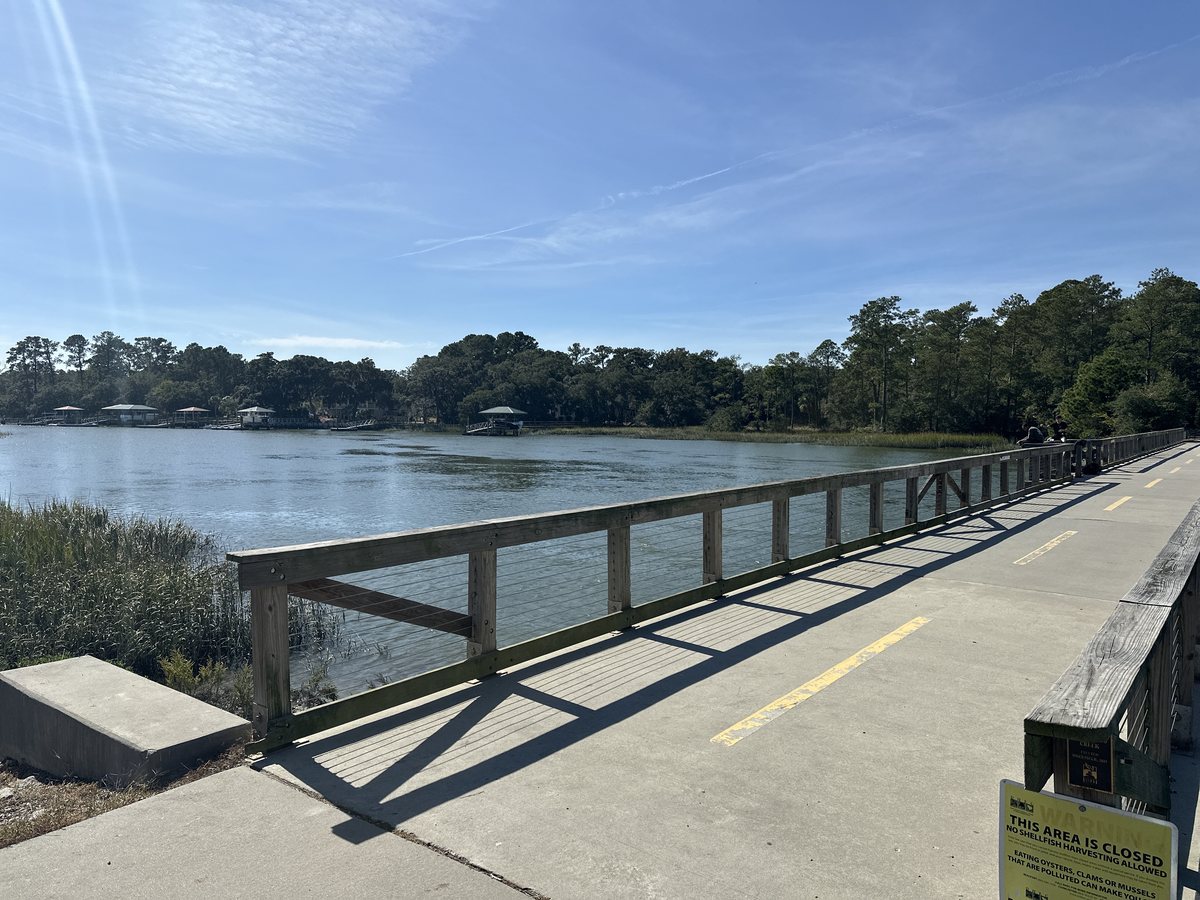
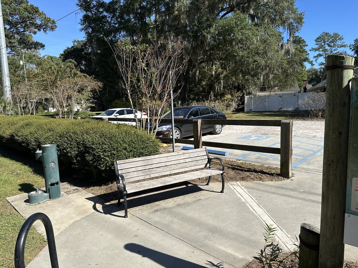
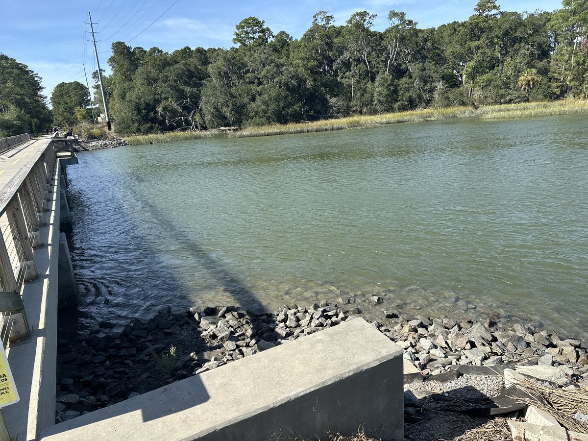
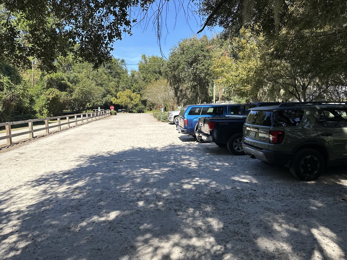
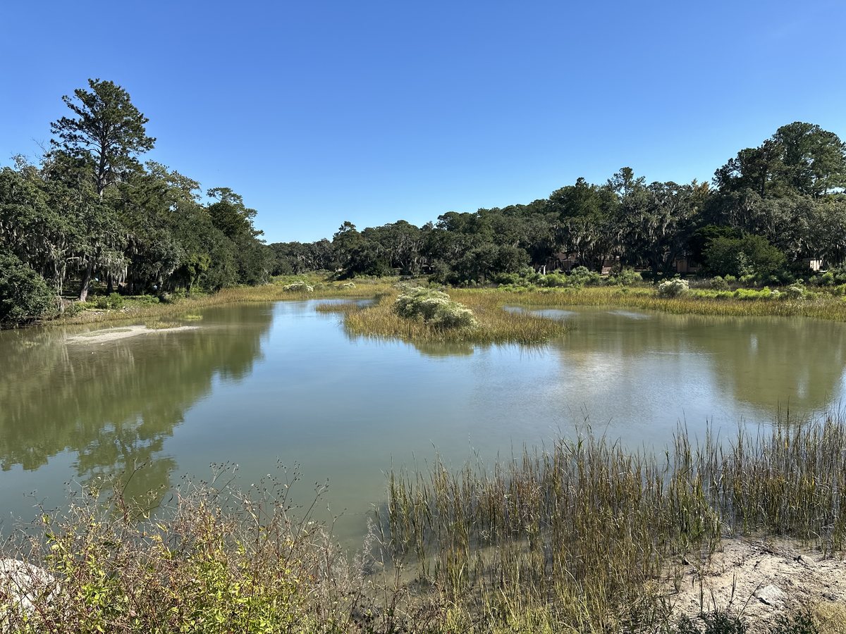
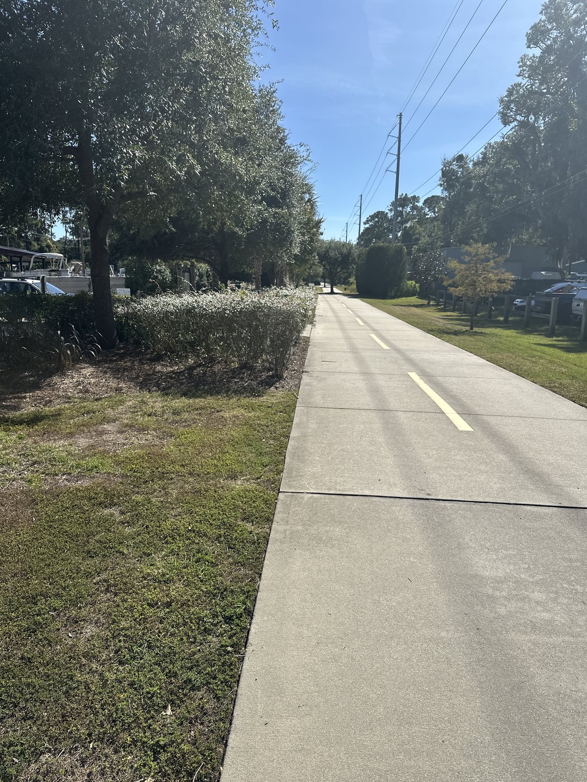
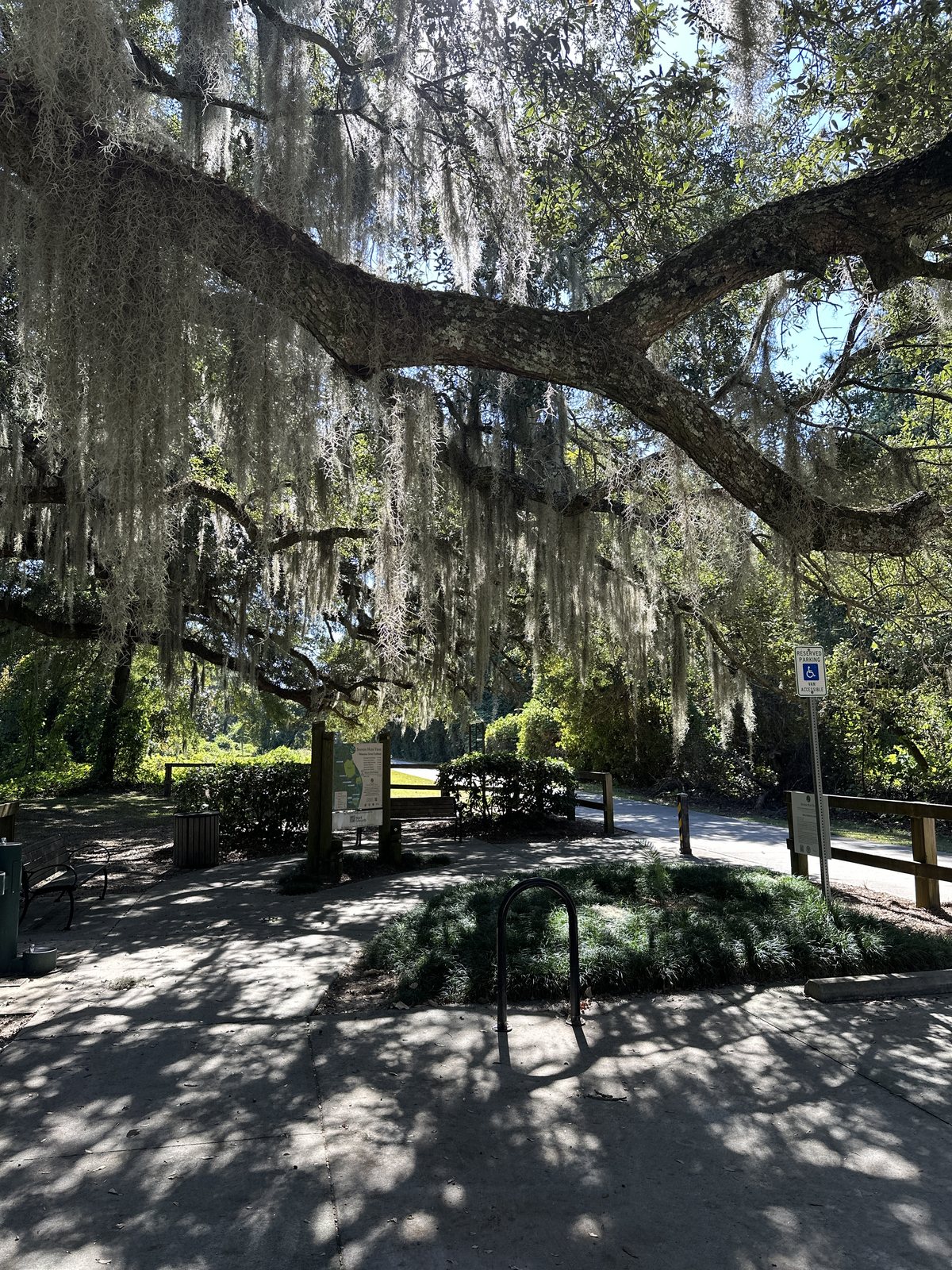
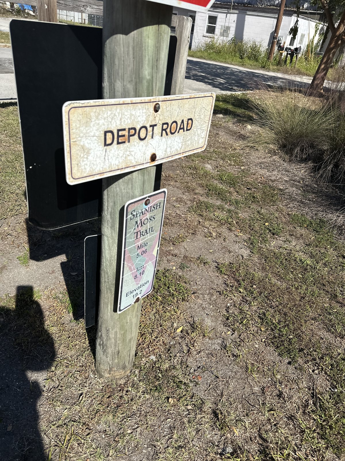
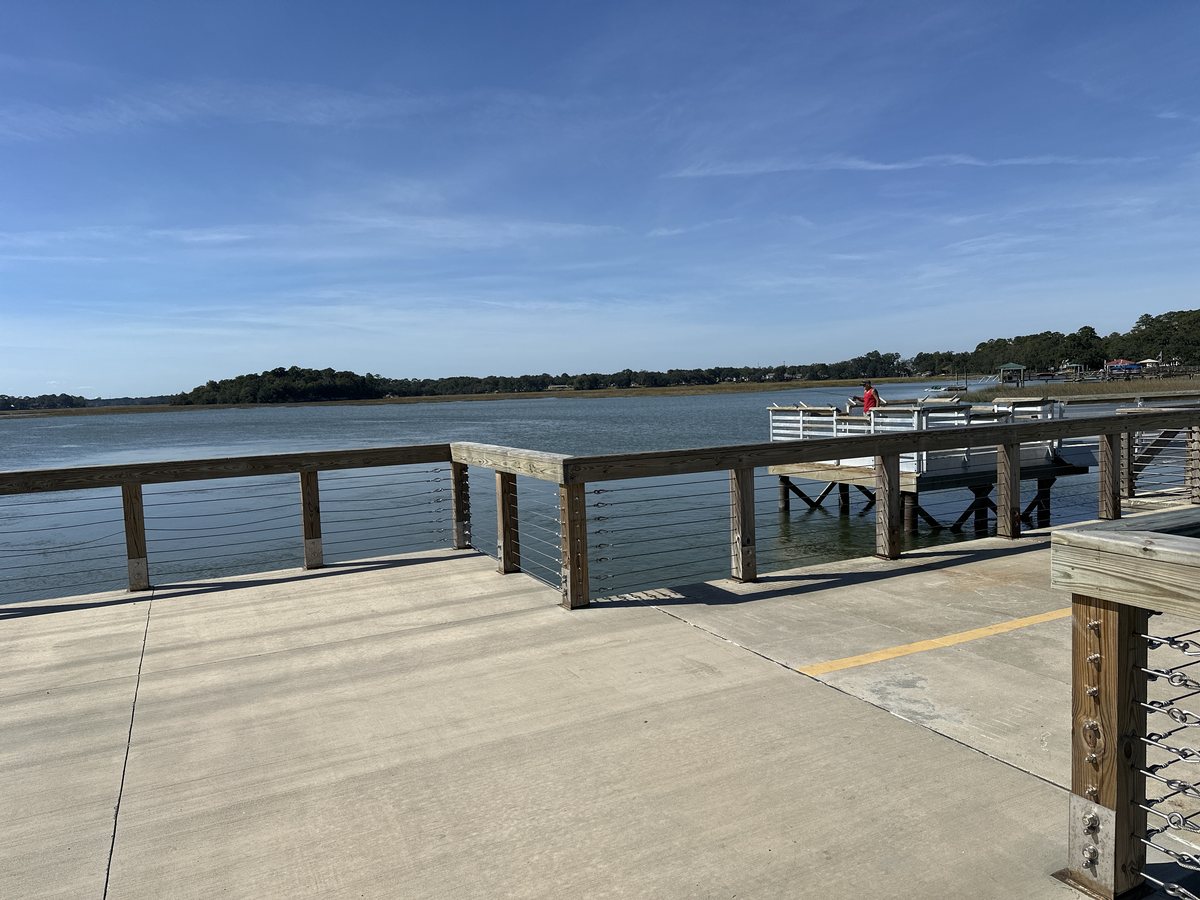
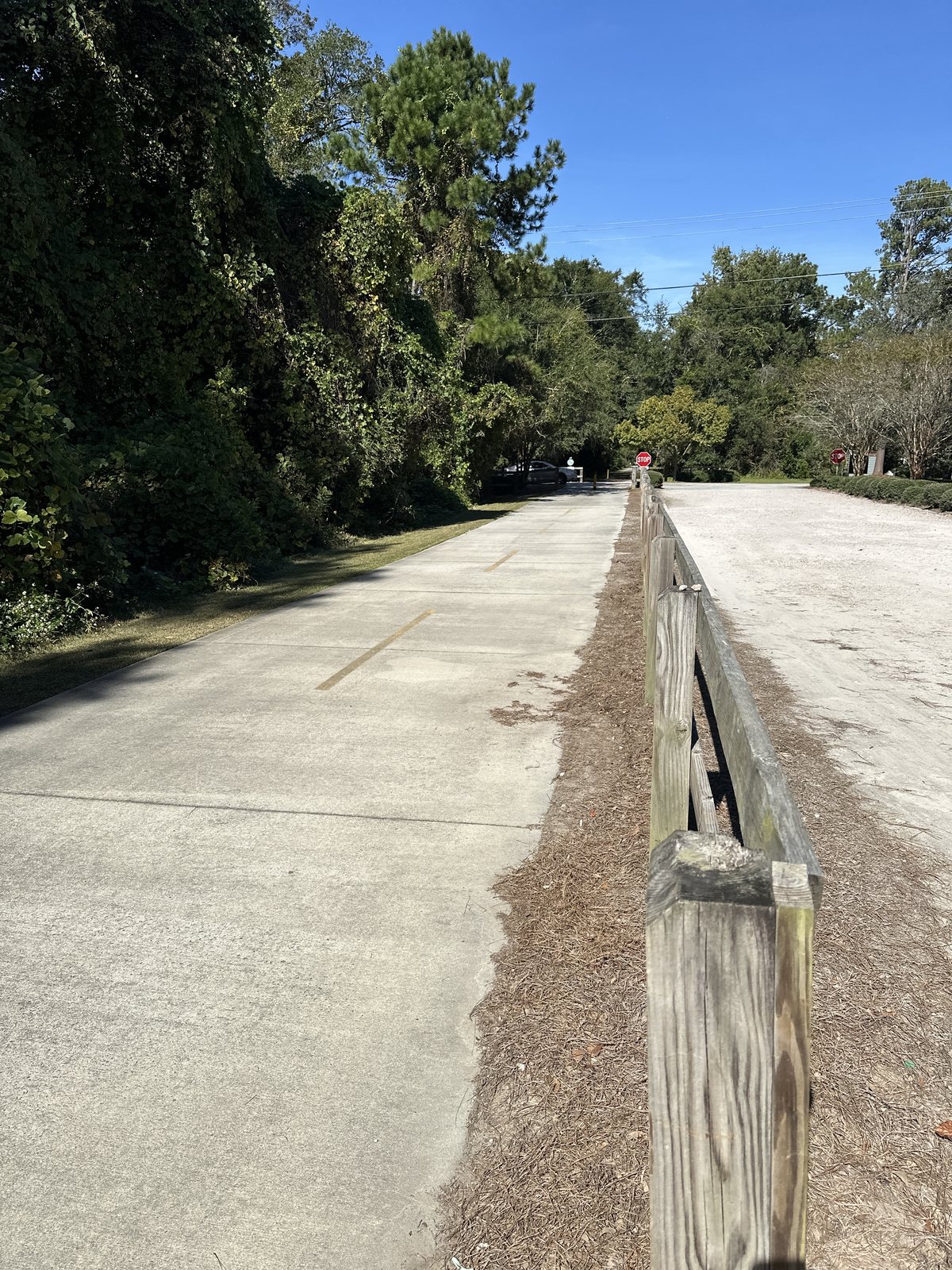
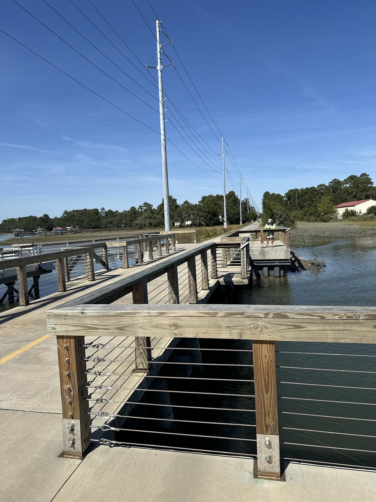
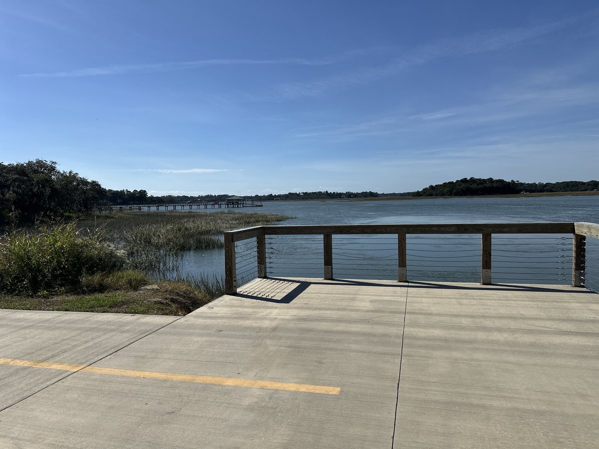
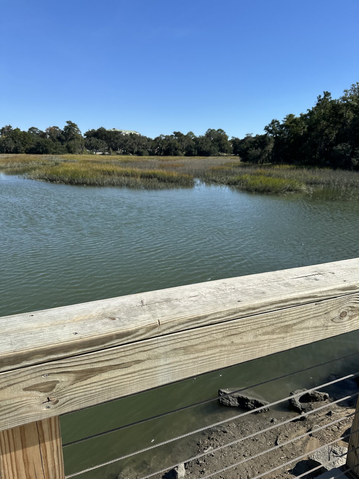
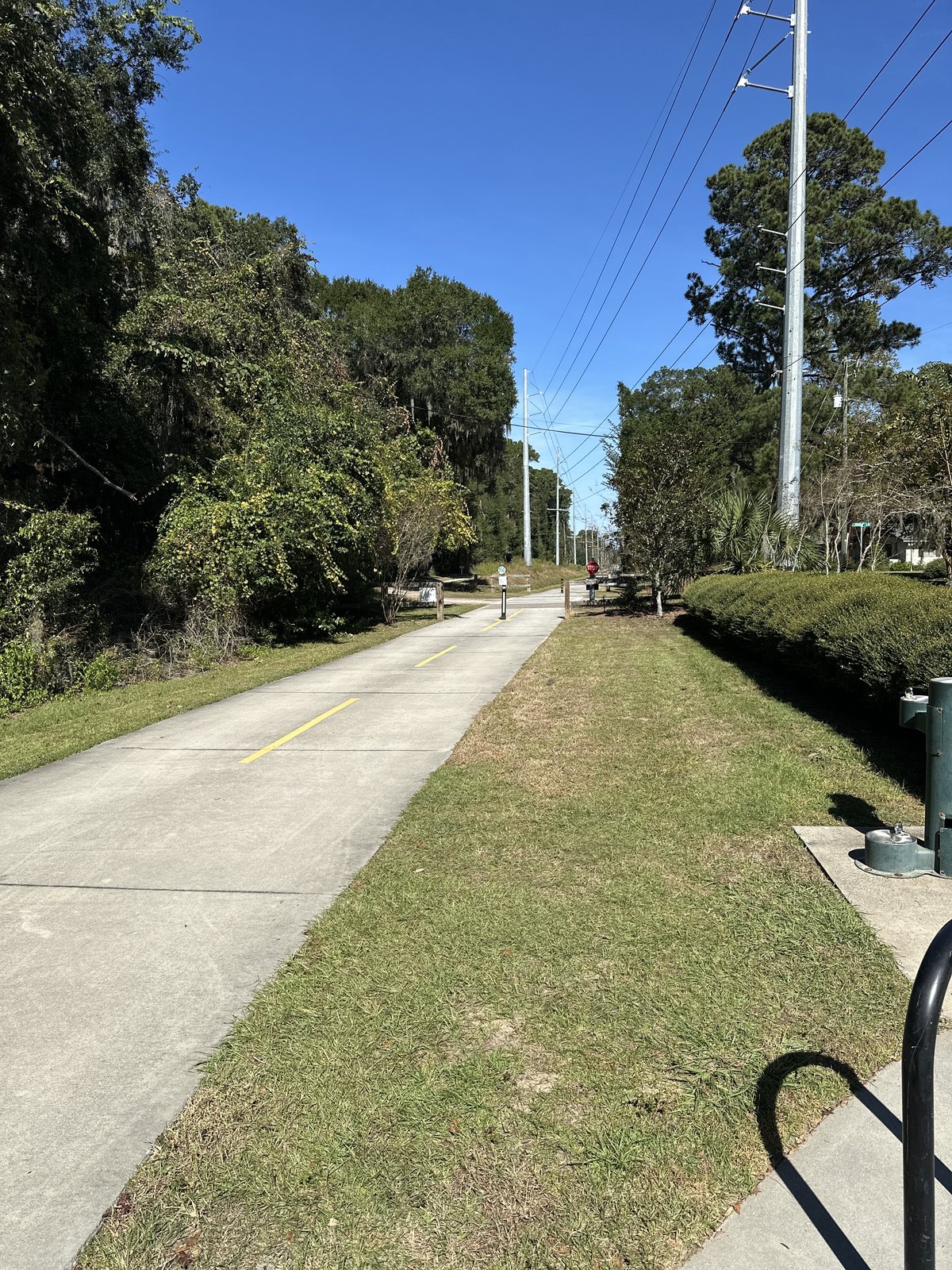
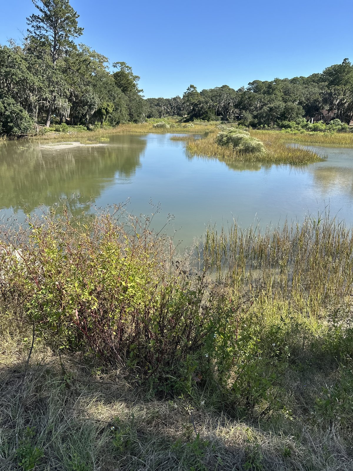
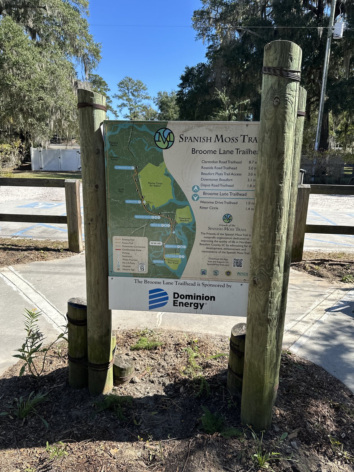
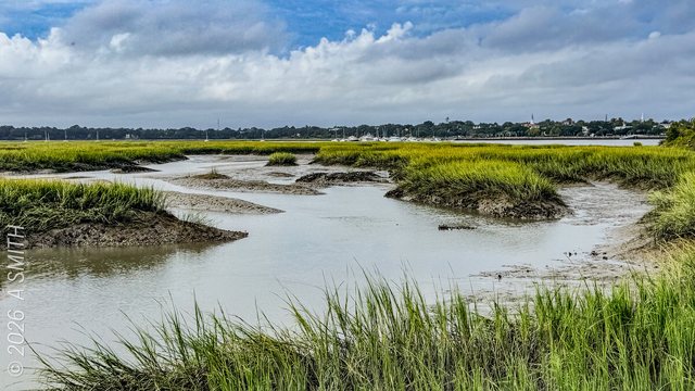
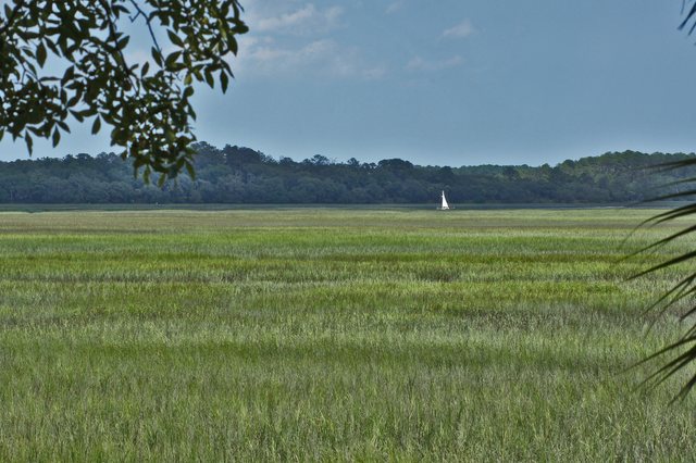
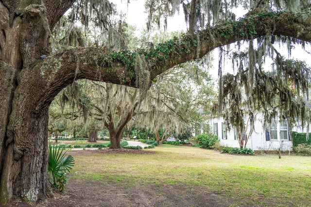
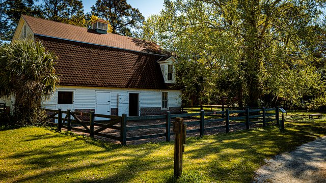
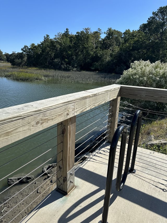
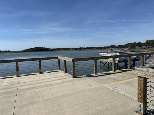
Over the creek. The fishing pier's rail above the marsh grass, the creek sliding under. 18,545 views on Google Maps · Photo taken Oct 2025The ruin. A burned-out brick shell standing in the trees just off the trail — Beaufort keeps its ghosts in plain sight. 10,444 views on Google Maps · Photo taken Oct 2025The long boardwalk. The trail's elevated run over the water, railings both sides. 6,217 views on Google Maps · Photo taken Oct 2025A bench at the trailhead. Bench, water fountain and bike rack where the pavement starts. 4,299 views on Google Maps · Photo taken Oct 2025The pier's shadow. Looking down past the boardwalk's shadow line to the rocky shore. 1,502 views on Google Maps · Photo taken Oct 2025The south lot. Gravel parking shaded by live oaks at the trail's southern end. 1,193 views on Google Maps · Photo taken Oct 2025Still water. A tidal creek folding through the marsh grass. 801 views on Google Maps · Photo taken Oct 2025The fishing pier. The full length of the pier over the creek — its far end posted closed the day this was shot. 572 views on Google Maps · Photo taken Oct 2025Straight and shaded. The paved line running south under the trees. 180 views on Google Maps · Photo taken Oct 2025Under the big oak. A picnic clearing drowned in Spanish moss beside the trail. 146 views on Google Maps · Photo taken Oct 2025Depot Road. The street sign where the trail crosses Depot Road. 143 views on Google Maps · Photo taken Oct 2025The pier deck. Open concrete at the pier's end, river on both sides. 79 views on Google Maps · Photo taken Oct 2025Fence line. The trail running beside the split-rail fence. 76 views on Google Maps · Photo taken Oct 2025The far dock. Across the water to a dock and a houseboat, from the pier. 71 views on Google Maps · Photo taken Oct 2025The overlook. The deck's wide end above the river. 20 views on Google Maps · Photo taken Oct 2025Marsh from the rail. Cordgrass and open water below the pier railing. 20 views on Google Maps · Photo taken Oct 2025The power-line straightaway. The trail's long flat run under the wires. 17 views on Google Maps · Photo taken Oct 2025Creek portrait. Marsh banks folding into still, green water. 17 views on Google Maps · Photo taken Oct 2025The trail map. The route board at a trailhead — ten miles of old rail line, mapped. · Photo taken Oct 2025See Spanish Moss Trail on Google Maps
20 photos: 90,296 views on Google Maps — and counting.