 Hilton Head
Beaufort
Beaufort, South Carolina
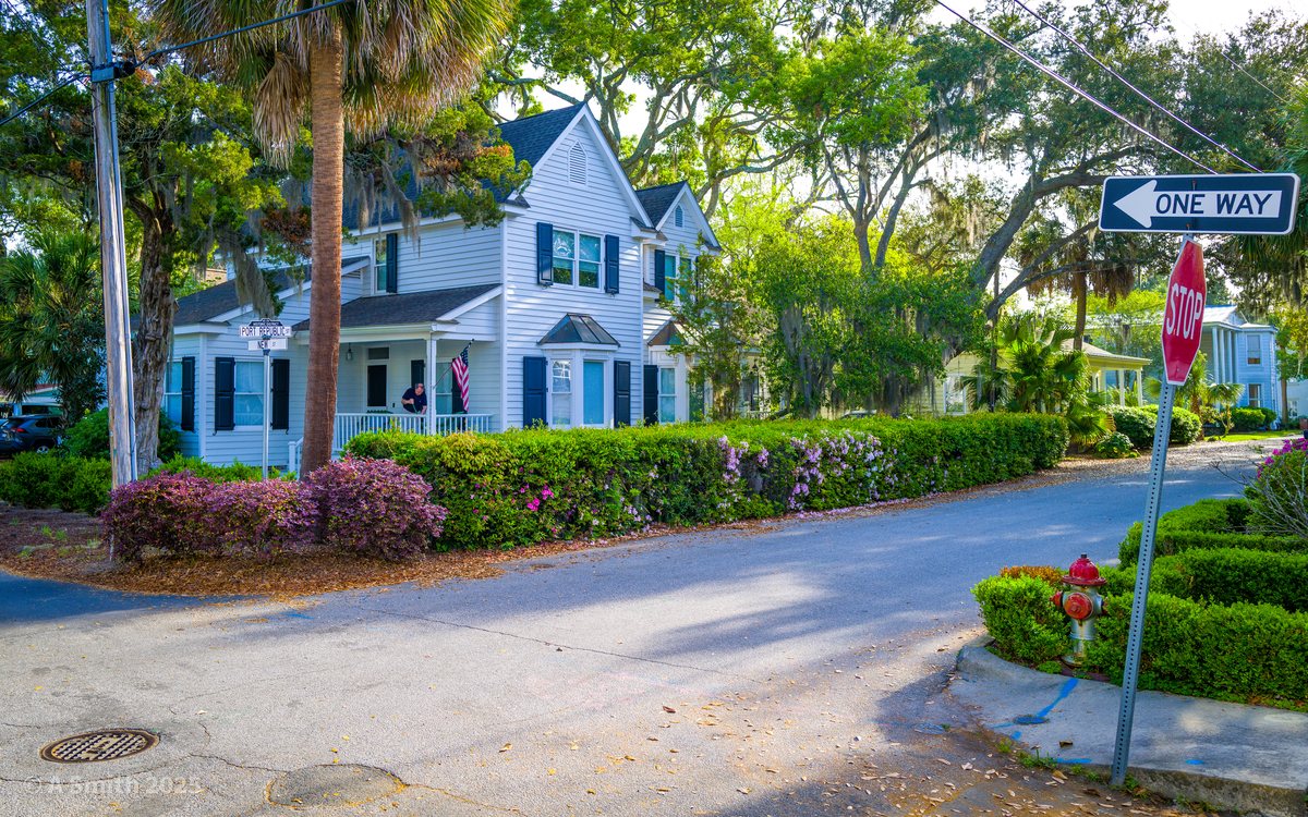
The Point. A quiet corner in Beaufort's historic Point neighborhood — white clapboard, azaleas, and a one-way sign pointing deeper into the old streets. 33,709 views on Google Maps · Photo taken Apr 2025
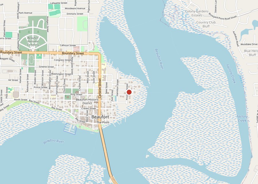
Location: Beaufort, South Carolina
Category: Town
Best For: The waterfront, the trail and The Point — one old river town
The Archive: 1 photos · 33,709 views on Google Maps
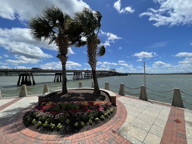
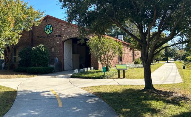
Beaufort is the Lowcountry's old river town — antebellum streets in The Point, a brick promenade on the Beaufort River, and a rail trail running south to Port Royal. This page is the hub for the archive's Beaufort coverage: the corner above sits in The Point, and the town's parks each have their own page — Waterfront Park on the river, the Spanish Moss Trail, and Whitehall Park. The photo at the top of this page has been viewed 33,709 times on Google Maps.
Key Takeaways
- 1 photo on this hub page — Beaufort's coverage lives on the three park pages linked above.
- Waterfront Park alone holds 428,993 views; its two-palm promenade shot is the most-viewed photo in this whole archive.
- Beaufort is the first town beyond Hilton Head and Bluffton to get its own hub here.
1 photos: 33,709 views on Google Maps — and counting.
Nearby Spots